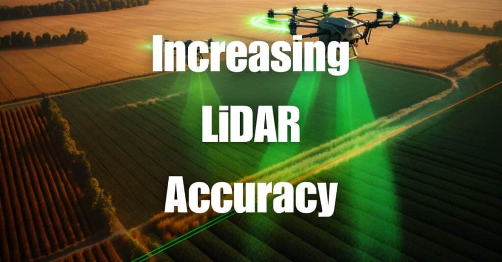
The world of drone technology has revolutionized various industries, with LiDAR systems at the forefront of this innovation. While the allure of cost savings may entice businesses to opt for low-quality LiDAR data, the long-term consequences can be detrimental. In this article, we’ll explore the hidden costs of LiDAR and the risks that come with sacrificing accuracy for savings. We’ll also discuss why investing in high-quality LiDAR services is crucial for any organization looking to harness the power of this advanced technology.
Understanding LiDAR Technology
LiDAR, or Light Detection and Ranging, is a remote sensing technology that uses laser pulses to measure distances and generate precise, three-dimensional information about the Earth’s surface. By emitting thousands of light pulses per second and measuring the time it takes for them to bounce back after hitting objects, LiDAR systems can create detailed, accurate maps and models of various environments.
The applications of LiDAR technology are vast, ranging from topographic mapping and forestry management to infrastructure inspection and autonomous vehicle navigation. Its ability to penetrate dense vegetation and provide high-resolution data makes it an indispensable tool for many industries.
Types of LiDAR Systems
There are two primary types of LiDAR systems: airborne and terrestrial. Airborne LiDAR systems are mounted on aircraft or drones and are often used for large-scale mapping and environmental monitoring. Terrestrial LiDAR systems, on the other hand, are ground-based and employed for more localized projects, such as building inspections and archeological site surveys.
The Importance of High-Quality LiDAR Data
High-quality LiDAR data is essential for numerous reasons. Here, we’ll explore some of the key benefits that come with investing in accurate and reliable LiDAR information:
Enhanced Precision and Detail
High-quality LiDAR systems can capture data with incredible accuracy, providing detailed information about the Earth’s surface and the objects within it. This level of precision is crucial for many applications, such as infrastructure planning and maintenance, where even the smallest inaccuracies can lead to significant issues.
Improved Decision-Making
With accurate LiDAR data, organizations can make well-informed decisions based on reliable information. This can lead to more efficient resource allocation, better project planning, and ultimately, greater success in achieving goals.
Cost-Effectiveness
Although investing in high-quality LiDAR systems may require a higher initial outlay, the long-term benefits and cost savings can be substantial. Accurate data reduces the need for expensive rework, mitigates the risk of project delays, and helps avoid costly mistakes that can stem from inaccurate information.
Environmental Conservation
In fields like forestry and environmental management, high-quality LiDAR data allows professionals to monitor ecosystems more effectively and develop sustainable management plans. This helps protect and conserve natural resources, ensuring their long-term viability.
Overall, high-quality LiDAR data is vital for the success and sustainability of various projects and industries. In the next section, we’ll delve into the hidden costs associated with using low-quality LiDAR data and the potential consequences of compromising on accuracy for the sake of cost savings.
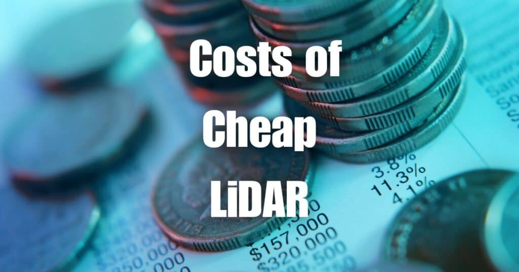
The Hidden Costs of Low-Quality LiDAR Data
While opting for low-quality LiDAR data might seem like a cost-saving strategy, the hidden expenses that come with this decision can be substantial. Let’s explore some of these costs and their potential consequences, using a “hero’s journey” example for each one.
Inaccurate Data and Increased Rework
Hero’s Journey Example: In the world of land surveying, our hero, the surveyor, is tasked with mapping a large piece of land for an upcoming construction project. He decides to use a low-cost LiDAR service to save on expenses. However, the resulting data is inaccurate and requires extensive rework to correct the errors.
This decision to save money upfront ultimately leads to increased costs for our hero, as the project timeline is extended, and additional resources are needed to correct the inaccuracies in the LiDAR data.
Project Delays and Cost Overruns
Hero’s Journey Example: In the realm of transportation planning, our hero, the project manager, is responsible for overseeing the development of a new highway. She chooses to use low-quality LiDAR data to cut costs. As the project progresses, the team discovers that the data is unreliable, leading to setbacks in design and construction.
The hero’s journey becomes fraught with obstacles, as the project experiences delays and cost overruns due to the need for additional surveys, redesigns, and adjustments based on the unreliable data.
Misinformed Decision Making
Hero’s Journey Example: In the kingdom of environmental conservation, our hero, the ecologist, is charged with the responsibility of creating a habitat restoration plan for an endangered species. He opts for low-quality LiDAR data to save money, only to find that the data is not accurate enough to provide the insights needed for an effective plan.
In this scenario, our hero’s journey is one of trial and error, as his attempts to make informed decisions are undermined by the low-quality data, ultimately leading to suboptimal restoration efforts and potential harm to the endangered species.
Negative Environmental Impact
Hero’s Journey Example: In the domain of forestry management, our hero, the forest manager, is striving to create a sustainable harvesting plan that balances ecological needs with economic goals. She decides to use low-cost LiDAR data, but the information turns out to be imprecise, resulting in the overharvesting of certain tree species.
The hero’s journey takes a dark turn, as the poorly informed decision based on low-quality data leads to negative environmental consequences, disrupting the balance of the ecosystem and threatening the long-term health of the forest.
Compromised Safety and Security
Hero’s Journey Example: In the world of infrastructure inspection, our hero, the inspector, is responsible for assessing the structural integrity of a bridge. To save on costs, he uses low-quality LiDAR data for his analysis. Unbeknownst to him, the data is not accurate enough to detect critical issues with the bridge’s structure.
In this story, the hero’s journey is one of peril, as the compromised safety of the bridge poses a risk to the public and jeopardizes the inspector’s reputation. The lack of reliable data may ultimately lead to disastrous consequences.
These examples highlight the potential pitfalls of using low-quality LiDAR data and the hidden costs that can arise from prioritizing savings over accuracy. In the next section, we’ll discuss the benefits of investing in high-quality LiDAR systems and why it’s a worthwhile endeavor.
Investing in High-Quality LiDAR Systems: A Worthwhile Investment
As we’ve seen, the hidden costs of low-quality LiDAR data can be detrimental to the success of various projects and industries. By investing in high-quality LiDAR systems, organizations can avoid these pitfalls and reap numerous benefits. Here, we’ll outline some of the key reasons why investing in high-quality LiDAR services is a wise decision:
Long-Term Cost Savings
While the upfront costs of high-quality LiDAR systems may be higher, the long-term savings can be significant. By ensuring accurate and reliable data, organizations can minimize the need for expensive rework, avoid project delays, and reduce the risk of costly errors.
Enhanced Decision-Making
Investing in high-quality LiDAR data allows organizations to make well-informed decisions based on precise and reliable information. This can lead to more efficient resource allocation, better project planning, and ultimately, greater success in achieving goals.
Improved Reputation and Client Satisfaction
High-quality LiDAR data can boost an organization’s reputation by ensuring accurate and reliable results. This, in turn, can lead to increased client satisfaction, repeat business, and a competitive edge in the marketplace.
Environmental and Safety Benefits
High-quality LiDAR data can help organizations better understand and manage environmental resources, leading to more sustainable practices and reduced negative impacts on ecosystems. Additionally, accurate data is essential for maintaining safety and security in various industries, such as infrastructure inspection and transportation planning.
Blue Falcon Aerial: Your Partner for Reliable LiDAR Services
At Blue Falcon Aerial, we understand the importance of high-quality LiDAR data and the potential consequences of compromising on accuracy for the sake of cost savings. That’s why we’re committed to providing our clients with the best possible LiDAR solutions, tailored to their unique needs and requirements.
Our team of experts is equipped with state-of-the-art LiDAR systems and extensive experience in various industries, ensuring that you receive accurate and reliable data for your projects. By partnering with Blue Falcon Aerial, you can be confident that you’re making a smart investment in your organization’s future success.
Whether you require airborne or terrestrial LiDAR services, our team is ready to help you achieve your goals. Don’t let the hidden costs of low-quality LiDAR data hold you back – contact Blue Falcon Aerial today and experience the difference that comes with investing in high-quality LiDAR solutions.
In conclusion, the hidden costs of low-quality LiDAR data far outweigh any initial savings. Compromising on the quality of LiDAR data can lead to inaccurate information, project delays, and potential safety hazards. To make informed decisions and ensure the success of your projects, it is essential to invest in high-quality LiDAR systems and services.
If you’re interested in learning more about LiDAR technology, we encourage you to visit our Aerial LiDAR 101: An Introduction to Its Applications and Benefits article. For any drone or LiDAR service requirements, don’t hesitate to reach out to Blue Falcon Aerial. Our team of experts is ready to provide you with reliable and accurate LiDAR solutions. Get in touch with us today by visiting our contact page.