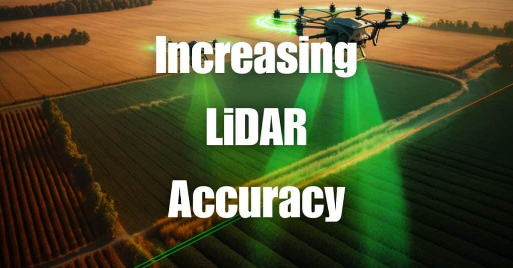
Drone LiDAR technology has made significant advancements in recent years, offering rapid and accurate data collection methods for applications such as topographical mapping, environmental monitoring, and infrastructure inspection. With the growing demand for high-quality LiDAR data, the need for improving LiDAR accuracy has become increasingly important. This article will explore the factors that influence LiDAR data accuracy and provide insights into the strengths and weaknesses of LiDAR technology. We will also discuss techniques for enhancing LiDAR accuracy and compare LiDAR with other technologies such as radar and Apple’s LiDAR.
Understanding LiDAR Data and Accuracy
Factors Affecting LiDAR Data Accuracy
Several factors can influence the accuracy of LiDAR data, including:
- Sensor quality: High-quality LiDAR sensors typically provide better accuracy than lower-quality sensors.
- Calibration: Proper calibration of the LiDAR system is essential for achieving accurate data.
- Altitude and range: The altitude of the drone and the range to the target can impact LiDAR data accuracy.
- Scanning angle: The angle at which the LiDAR sensor scans the target can affect the accuracy of the data.
- Environmental conditions: Weather conditions such as rain, fog, or dust can interfere with LiDAR measurements and reduce accuracy.
- Processing techniques: The quality of the data processing algorithms used can also impact the accuracy of the final data product.
Maximum Accuracy Achievable with LiDAR
The best accuracy achievable with LiDAR technology depends on the specific system and conditions under which it is used. High-end LiDAR systems can achieve accuracy levels in the range of a few centimeters, but these levels may vary depending on factors such as the sensor quality, calibration, altitude, and environmental conditions.
Limitations and Weaknesses of LiDAR Technology
Night-time Performance
LiDAR technology uses lasers to measure distances, and therefore, it is not affected by the lack of light. As a result, LiDAR systems can operate effectively at night and provide accurate data regardless of the time of day.
Rain and Weather Conditions
One of the weaknesses of LiDAR technology is its sensitivity to adverse weather conditions such as rain, fog, or dust. These environmental factors can interfere with the laser pulses emitted by the LiDAR sensor, leading to reduced accuracy or even data loss. However, advancements in LiDAR technology and data processing algorithms have helped to mitigate some of these challenges, enabling more reliable data collection in less-than-ideal conditions.
Comparison of LiDAR with Other Technologies
Radar vs. LiDAR
Both LiDAR and radar are remote sensing technologies that measure distances by emitting signals and calculating the time it takes for the signal to return after reflecting off an object. However, there are some key differences between the two:
- Signal type: LiDAR uses laser light, while radar uses radio waves.
- Resolution: LiDAR typically provides higher resolution and more accurate data compared to radar.
- Penetration: Radar can penetrate certain materials and obstacles better than LiDAR, making it more suitable for some applications, such as through-wall imaging or ground-penetrating radar.
- Weather sensitivity: Radar is generally less affected by adverse weather conditions than LiDAR, as radio waves can travel through rain, fog, and dust with less attenuation.
While LiDAR is often more accurate than radar, the choice between the two technologies depends on the specific application and requirements.
Apple LiDAR Precision and Range
Apple’s LiDAR technology, which is integrated into some of their iPhone and iPad models, has brought LiDAR into the consumer market. While the precision and range of Apple’s LiDAR may not match those of high-end professional LiDAR systems, it still provides impressive accuracy and functionality for various applications, such as augmented reality, indoor mapping, and object recognition. The effective range of Apple’s LiDAR is typically around 5 meters, making it suitable for close-range applications.
Techniques to Improve Drone LiDAR Data Accuracy
Addressing Distance Accuracy
Improving the accuracy of LiDAR data in terms of distance measurements can be achieved through several techniques:
- Use high-quality sensors: Investing in high-quality LiDAR sensors with better accuracy specifications can improve the overall data quality.
- Optimize drone altitude: Adjusting the drone’s flying altitude can help achieve the optimal range and scanning angle for better data accuracy.
- Calibrate the system: Regularly calibrate your LiDAR system to ensure it is operating at peak performance.
- Implement overlapping scans: Conducting multiple scans with overlapping coverage can help to reduce noise and improve data accuracy.
- Apply advanced data processing algorithms: Utilize sophisticated algorithms and filtering techniques to process raw LiDAR data and eliminate errors.
Enhancing Scanning Accuracy
To improve the scanning accuracy of your drone LiDAR data, consider the following tips:
- Optimize scanning angles: Adjust the scanning angle to minimize errors caused by shadows, occlusions, or laser beam divergence.
- Use high-resolution sensors: Higher-resolution LiDAR sensors can provide more detailed data, which can enhance scanning accuracy.
- Adjust scan density: Increasing the density of the LiDAR scan points can improve the accuracy of the generated point cloud.
- Use multiple sensors: Combining data from multiple LiDAR sensors can provide a more comprehensive and accurate representation of the scanned area.
Quality Control and Data Validation
Implementing quality control and data validation procedures is essential for ensuring the accuracy and reliability of your drone LiDAR data. Some recommended practices include:
- Establish data quality metrics: Define metrics that quantify the accuracy and precision of your LiDAR data, and track these metrics throughout the data collection process.
- Perform ground truth validation: Compare your LiDAR data with ground truth measurements obtained from traditional surveying methods or other trusted sources to validate the accuracy of the data.
- Use independent validation techniques: Apply techniques such as cross-validation or statistical analysis to assess the consistency and reliability of your LiDAR data.
- Continuously improve data processing algorithms: Regularly update and refine your data processing algorithms to address any identified errors or limitations.
- Train staff and operators: Ensure that your drone pilots and data processing team members are well-trained and knowledgeable about best practices for collecting and processing accurate LiDAR data.
Improving LiDAR accuracy is vital for ensuring the reliability and value of the data collected by drone LiDAR systems. By understanding the factors that influence accuracy and implementing the techniques we’ve discussed, you can enhance the quality of your drone LiDAR data, making it more useful for various applications. If you’re looking to expand your knowledge on drone operations and building a successful drone business, we recommend reading our article on Soaring High: A Comprehensive Guide to Building and Growing Your Drone Business. Should you require any drone services, don’t hesitate to contact Blue Falcon Aerial – our team of experts is ready to assist you with your needs.


