Unlocking the full potential of LiDAR for Civil Engineers can revolutionize the way we design, plan, and manage our built environment. This cutting-edge technology has transformed the field of civil engineering by providing unparalleled accuracy, efficiency, and safety. In this article, we’ll explore the fundamentals of LiDAR, its applications in civil engineering, and the numerous benefits it offers. Discover how this innovative technology can elevate your next project to new heights and ensure its success.
What is LiDAR and How Does it Work?
Brief History of LiDAR
LiDAR, or Light Detection and Ranging, is a remote sensing technology that uses laser light to measure distances and generate accurate three-dimensional representations of the Earth’s surface. The origins of LiDAR can be traced back to the 1960s, when researchers first started using lasers for rangefinding purposes. The technology has since advanced considerably and now plays a crucial role in various industries, including civil engineering.
LiDAR Technology Components
LiDAR systems typically consist of several key components:
- Laser: A laser emits light pulses that travel to the target and bounce back to the LiDAR sensor. The wavelength of the laser light is critical for achieving accurate measurements and can range from ultraviolet to infrared.
- Scanner: The scanner directs the laser pulses towards the target area, allowing the LiDAR system to cover a wide field of view.
- Global Positioning System (GPS): The GPS receiver tracks the position and elevation of the LiDAR sensor, ensuring precise location data for each measured point.
- Inertial Measurement Unit (IMU): The IMU monitors the orientation and movement of the LiDAR system, helping to correct for any changes in position or altitude during data collection.
- Data processing software: Advanced software processes the raw data collected by the LiDAR sensor, transforming it into a detailed and accurate 3D representation of the surveyed area.
Applications of LiDAR in Civil Engineering
Topographic Surveys
One of the primary applications of LiDAR in civil engineering is conducting topographic surveys. These surveys provide critical information on the terrain, including elevation data and surface features. With LiDAR, civil engineers can quickly and accurately generate high-resolution digital elevation models (DEMs) that facilitate decision-making and planning for various projects, such as roadways, bridges, and buildings.
Infrastructure Planning and Design
LiDAR technology is instrumental in the planning and design phase of civil engineering projects. By providing detailed and accurate 3D models of the existing environment, LiDAR enables engineers to visualize the impact of proposed infrastructure, assess potential challenges, and optimize designs. This results in more efficient and sustainable projects that better serve the needs of communities.
Asset Management
Maintaining and managing infrastructure assets is a crucial responsibility for civil engineers. LiDAR can play a vital role in this process by providing accurate, up-to-date information on the condition and location of assets, such as roads, bridges, and utilities. This data allows engineers to prioritize maintenance activities, monitor the performance of assets, and plan for future upgrades or replacements.
Floodplain Mapping and Hydrology
Accurate floodplain mapping and hydrological analysis are essential for managing flood risks and ensuring the safety and resilience of communities. LiDAR technology offers a rapid and precise method for collecting elevation data in flood-prone areas, enabling civil engineers to model flood scenarios, design effective flood mitigation measures, and establish appropriate land use policies.
Environmental Impact Assessment
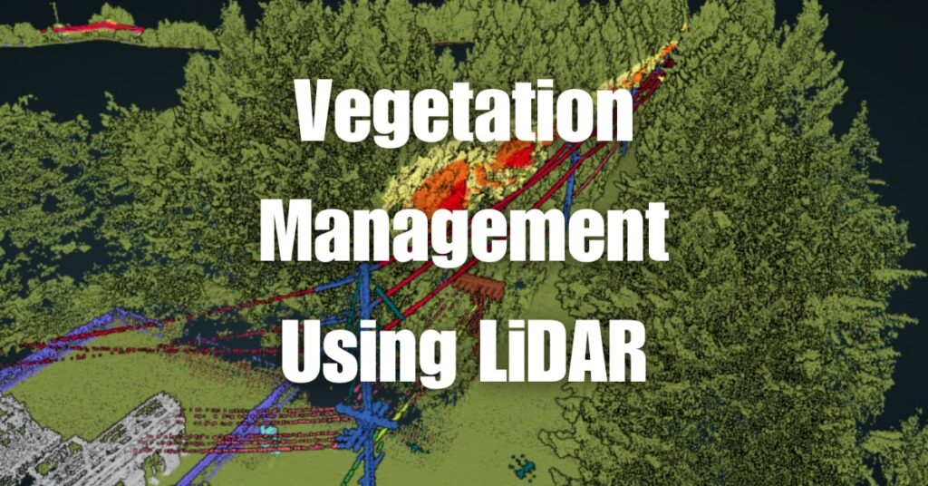
Civil engineering projects often have significant environmental impacts that need to be carefully considered and mitigated. LiDAR technology can help engineers assess the potential environmental consequences of a project by providing detailed information on the existing natural features, such as vegetation, water bodies, and wildlife habitats. This data is invaluable for evaluating the potential impacts and identifying effective mitigation strategies to minimize any adverse effects on the environment.
Benefits of Using LiDAR for Civil Engineers
High Accuracy and Precision
One of the most significant advantages of using LiDAR for civil engineering projects is its high accuracy and precision. LiDAR systems can generate 3D models with centimeter-level accuracy, allowing engineers to capture detailed information about the terrain and built environment. This level of detail is crucial for making informed decisions during the planning, design, and construction phases of a project.
Rapid Data Acquisition
Traditional surveying methods can be time-consuming and labor-intensive, often requiring several days or weeks to collect the necessary data. In contrast, LiDAR technology enables rapid data acquisition, with the ability to survey large areas in a matter of hours or days. This speed not only reduces project timelines but also allows engineers to respond more quickly to changes in project requirements or unforeseen challenges.
Cost-effectiveness
While the initial investment in LiDAR technology may be high, its cost-effectiveness becomes apparent when considering the long-term savings it can provide. By significantly reducing the time and resources required for data collection, LiDAR can lead to substantial cost savings over the duration of a project. Additionally, the increased accuracy and precision of LiDAR data can help minimize costly errors and rework during the construction phase.
Enhanced Safety
LiDAR technology can significantly improve safety on civil engineering projects by minimizing the need for personnel to access hazardous or difficult-to-reach areas. By capturing data remotely, LiDAR reduces the risks associated with traditional surveying methods, such as working at heights or in close proximity to heavy machinery. This enhanced safety can lead to fewer accidents and injuries, as well as lower insurance costs.
Streamlined Project Management
The high-quality data provided by LiDAR systems can streamline project management by facilitating better communication and collaboration among project stakeholders. With detailed 3D models, engineers, contractors, and clients can easily visualize the project and make more informed decisions throughout its lifecycle. This improved collaboration can lead to fewer misunderstandings and conflicts, resulting in smoother project execution and more successful outcomes.
Best Practices for Incorporating LiDAR in Civil Engineering Projects
Selecting the Right LiDAR System
There are various types of LiDAR systems available, including airborne, terrestrial, and mobile systems. Each system has its advantages and limitations, and the choice will depend on factors such as project size, terrain, and required accuracy. Civil engineers should carefully assess their project requirements and consult with LiDAR experts to determine the most suitable system for their needs.
Working with Experienced LiDAR Service Providers
Partnering with experienced LiDAR service providers can help ensure the successful integration of LiDAR technology into a civil engineering project. These providers possess the necessary expertise, equipment, and software to efficiently collect, process, and analyze LiDAR data. By working with reputable providers, civil engineers can maximize the benefits of LiDAR technology and minimize potential risks and challenges.
Leveraging Advanced Software Tools
Advanced software tools are essential for effectively managing and analyzing LiDAR data. There are numerous specialized software packages available that can help civil engineers visualize, manipulate, and interpret LiDAR data to inform their project decisions. Investing in the right software tools can significantly enhance the utility of LiDAR data and improve the overall efficiency of a project.
Ongoing Training and Development
As LiDAR technology continues to evolve, it is crucial for civil engineers to stay up-to-date on the latest advancements and best practices. Ongoing training and professional development can help engineers maintain their expertise in LiDAR technology and ensure they are leveraging its full potential in their projects. This commitment to continuous learning will not only improve project outcomes but also enhance the competitiveness of individuals and organizations within the civil engineering field.
Choosing Blue Falcon Aerial for Drone-Based Civil Engineering Projects
When it comes to drone-based LiDAR services for civil engineering projects, Blue Falcon Aerial is an industry leader that offers exceptional solutions tailored to your specific needs. With a strong commitment to quality, accuracy, and efficiency, Blue Falcon Aerial can help you unlock the full potential of LiDAR technology in your projects.
How Blue Falcon Aerial Can Help
Blue Falcon Aerial provides a comprehensive range of drone-based services for civil engineering applications, including topographic surveys, infrastructure planning and design, asset management, and more. By leveraging state-of-the-art LiDAR technology and the expertise of a highly skilled team, Blue Falcon Aerial delivers accurate and reliable data that can streamline your project management process and improve overall project outcomes. Learn more about how Blue Falcon Aerial can help you by visiting their Civil Engineers page.
Deliverables Offered by Blue Falcon Aerial
Blue Falcon Aerial understands the importance of providing high-quality deliverables that meet the unique requirements of your civil engineering projects. Their range of deliverables includes:
- Digital Elevation Models (DEMs)
- Digital Terrain Models (DTMs)
- Digital Surface Models (DSMs)
- Planimetrics
- Orthomosaic Imagery
- Contour Maps
- Point Clouds
- 3D Models
These deliverables can be customized to suit the specific needs of your project, ensuring that you receive the most relevant and actionable data. Explore the complete list of deliverables offered by Blue Falcon Aerial by visiting their Deliverables page.
By choosing Blue Falcon Aerial for your drone-based civil engineering projects, you can take advantage of the latest LiDAR technology and industry expertise to drive your projects to success. Don’t hesitate to contact Blue Falcon Aerial to discuss how they can support your civil engineering needs and help you unlock the true potential of LiDAR technology.
In conclusion, embracing the power of LiDAR for Civil Engineers can lead to significant improvements in project efficiency, accuracy, and safety. From topographic surveys to infrastructure planning and design, LiDAR technology is revolutionizing the way civil engineers approach their work. To delve deeper into the world of LiDAR, we encourage you to visit Aerial LiDAR 101: An Introduction to its Applications and Benefits for more information. If you’re in need of drone services or have any questions about how LiDAR can enhance your projects, don’t hesitate to contact Blue Falcon Aerial. Our team of experts is ready to assist you in unlocking the true potential of LiDAR for your civil engineering projects.