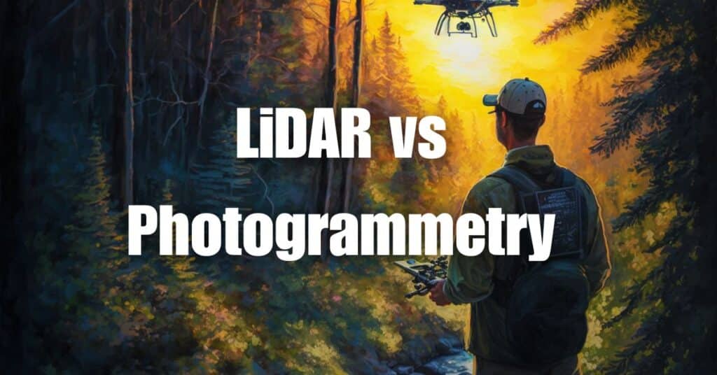
In the world of aerial surveying and mapping, the debate between LiDAR and photogrammetry is a hot topic, with professionals seeking the most accurate and efficient method for their projects. This article will provide an in-depth comparison between LiDAR and photogrammetry, helping you understand the key differences, advantages, and disadvantages of each technology. With a comprehensive understanding of these two methods, you will be better equipped to make informed decisions on which technology is best suited for your specific needs. So, let’s dive into the fascinating world of aerial surveying and explore the accuracy and applications of LiDAR and photogrammetry.
Overview of LiDAR and Photogrammetry
LiDAR: Definition, Applications, and Surveying
LiDAR (Light Detection and Ranging) is a remote sensing technology that uses laser light to measure distances and generate accurate, high-resolution maps and 3D models of the Earth’s surface. LiDAR systems typically consist of a laser source, a scanner, and a GPS receiver, mounted on an aircraft or a drone. The technology emits laser pulses towards the ground, and the reflected light is measured to calculate the distance between the sensor and the Earth’s surface.
LiDAR is widely used in various industries, including forestry, agriculture, construction, urban planning, and environmental management. The technology is particularly suited for surveying areas with dense vegetation or difficult terrain, as it can penetrate through the canopy and provide accurate elevation data.
Photogrammetry: Definition, Applications, and Surveying
Photogrammetry is the science of obtaining measurements and creating 3D models from photographs. The technology involves capturing a series of overlapping aerial images, which are then processed using specialized software to generate a digital surface model (DSM) or an orthomosaic map. Photogrammetry relies on the principles of triangulation and perspective geometry to determine the position of objects in the images and produce accurate 3D models.
Like LiDAR, photogrammetry has a wide range of applications, including agriculture, urban planning, construction, and environmental management. Photogrammetry is often used for creating high-resolution orthophotos, digital elevation models (DEMs), and 3D models of buildings and other structures.
Key Differences between LiDAR and Photogrammetry Surveying
Data Acquisition Methods
The primary difference between LiDAR and photogrammetry lies in the data acquisition methods. LiDAR uses laser pulses to measure distances, while photogrammetry relies on images captured by cameras. Consequently, LiDAR can provide more accurate elevation data and is better suited for surveying areas with complex terrain or dense vegetation.
Data Output Formats
LiDAR generates point clouds, which are sets of data points representing the Earth’s surface. These point clouds can be further processed to create various types of maps and models, including digital elevation models (DEMs), digital surface models (DSMs), and 3D models of structures. On the other hand, photogrammetry produces orthophotos and digital surface models (DSMs) that are visually more appealing, as they retain the colors and textures of the objects being surveyed.
Applications and Use Cases: LiDAR vs. Photogrammetry
LiDAR Applications and Use Cases
LiDAR technology has a wide range of applications in various industries due to its high accuracy, precision, and ability to penetrate dense vegetation. Some of the most common use cases for LiDAR include:
- Urban planning: LiDAR data is invaluable in urban planning, as it provides accurate topographic and elevation data for infrastructure design, land use planning, and flood risk assessment.
- Forestry: LiDAR’s ability to penetrate dense vegetation enables forest managers to accurately assess forest structure, biomass, and species composition for sustainable forest management.
- Transportation: LiDAR data is used in the planning, design, and maintenance of transportation infrastructure, such as roads, bridges, and railways, by providing accurate topographic and elevation data.
- Archaeology: LiDAR can reveal hidden archaeological features, such as ancient roads or buried structures, by penetrating dense vegetation and providing detailed elevation data.
- Mining: LiDAR is used in the mining industry for accurate volumetric calculations, terrain analysis, and slope stability assessment, helping companies to improve operational efficiency and safety.
Photogrammetry Applications and Use Cases
Photogrammetry, due to its visual appeal and lower cost compared to LiDAR, is widely used in various industries, including:
- Agriculture: Photogrammetry is used in precision agriculture for crop monitoring, yield estimation, and identifying areas that require targeted interventions, such as irrigation or fertilization.
- Real estate and construction: Photogrammetry-generated 3D models and orthophotos are used for site planning, building inspections, and creating virtual tours for marketing purposes.
- Environmental monitoring: Photogrammetry can be used to monitor coastal erosion, assess land cover changes, and evaluate the impact of natural disasters, such as landslides or floods.
- Cultural heritage: Photogrammetry is used to create detailed 3D models of historical monuments, buildings, and archaeological sites for documentation, preservation, and virtual tourism purposes.
- GIS and mapping: Photogrammetry is used in the creation of high-resolution orthophotos and 3D models for GIS applications, such as land use planning, property assessment, and asset management.
In conclusion, both LiDAR and photogrammetry have their unique advantages and disadvantages, and the choice between these technologies depends on factors such as the project’s requirements, budget, and desired level of data accuracy.
Accuracy of LiDAR and Photogrammetry Surveys
The accuracy of both LiDAR and photogrammetry surveys is an essential factor to consider when choosing the right technology for your project. Here, we will compare the accuracy of these two methods:
LiDAR
LiDAR is known for its high accuracy and precision, providing elevation data with a vertical accuracy of up to 5-15 centimeters and a horizontal accuracy of up to 10-30 centimeters. This high level of accuracy is achieved because LiDAR uses laser pulses to directly measure the distance between the sensor and the ground or objects, eliminating potential errors that might arise from manual measurements.
Photogrammetry
Photogrammetry relies on overlapping images taken from different angles to create 3D models and orthophotos. The accuracy of photogrammetry depends on factors such as image quality, camera calibration, and the precision of ground control points. Generally, photogrammetry can achieve a horizontal accuracy of up to 1-3 meters and a vertical accuracy of up to 2-5 meters. However, it is important to note that the accuracy of photogrammetry can be affected by factors like shadows, occlusions, and the texture of the objects being surveyed.
Advantages of LiDAR Surveying
There are several advantages of using LiDAR surveying technology, including:
- High accuracy and precision: LiDAR provides highly accurate elevation and topographic data, making it ideal for projects that require detailed and accurate measurements.
- Ability to penetrate dense vegetation: LiDAR can penetrate dense vegetation, allowing for accurate measurements in forested areas or areas with heavy vegetation cover.
- Rapid data collection: LiDAR technology can collect vast amounts of data quickly, reducing the time and cost associated with data acquisition.
- Versatility: LiDAR can be mounted on various platforms, such as drones, airplanes, helicopters, or ground-based systems, making it suitable for different types of projects and terrains.
- Works in different lighting conditions: Since LiDAR uses laser pulses instead of visible light, it can operate effectively during day or night, as well as in cloudy or foggy conditions.
Disadvantages of LiDAR Surveying
Despite its numerous advantages, LiDAR surveying also has some drawbacks:
- High cost: LiDAR technology tends to be more expensive than photogrammetry, both in terms of equipment and data processing. This can be a limiting factor for smaller projects or projects with limited budgets.
- Limited color information: Unlike photogrammetry, LiDAR does not capture color information, which might be important for certain applications, such as habitat mapping or cultural heritage documentation.
- Affected by atmospheric conditions: LiDAR can be affected by atmospheric conditions, such as rain, snow, or dust, which can lead to errors or reduced accuracy in the collected data.
- Less effective in water: LiDAR is less effective in surveying water surfaces or underwater features, as the laser pulses are absorbed by water. In such cases, other surveying methods, like bathymetry or sonar, might be more suitable.
Advantages of Photogrammetry
Photogrammetry offers several benefits for various applications, including:
- Lower cost: Photogrammetry is generally more cost-effective than LiDAR, making it an attractive option for projects with limited budgets or smaller-scale projects.
- Color information: Photogrammetry captures color information, which can be useful for applications like land-use mapping, habitat mapping, and cultural heritage documentation.
- Ease of use: The process of capturing images for photogrammetry is relatively simple and can be performed with off-the-shelf cameras or drone-mounted cameras, making it more accessible for a broader range of users.
- Versatility: Photogrammetry can be used for various applications, from topographic mapping and 3D modeling to creating orthophotos and virtual reality environments.
Disadvantages of Photogrammetry
Despite its advantages, photogrammetry also has some limitations:
- Lower accuracy: Photogrammetry generally has lower accuracy compared to LiDAR, particularly in areas with complex topography or dense vegetation.
- Sensitive to lighting and weather conditions: Photogrammetry relies on visible light, making it sensitive to lighting and weather conditions. Shadows, low light, or poor weather can impact the quality of the images and, consequently, the accuracy of the final product.
- Requires ground control points: For high accuracy, photogrammetry often requires the use of ground control points, which can be time-consuming and labor-intensive to establish.
Comparing LiDAR and Photogrammetry: Which is Better for Your Project?
When deciding between LiDAR and photogrammetry for your project, it is essential to consider the specific requirements of your application, such as accuracy, cost, and data type. Here are some factors to consider:
- Accuracy: If your project requires high accuracy and precision, particularly for elevation data, LiDAR may be the better choice. However, for projects where color information is more critical, photogrammetry may be more suitable.
- Budget: If budget is a significant concern, photogrammetry may be a more cost-effective option, although it may come with a trade-off in terms of accuracy and precision.
- Environment: Consider the specific environment and conditions of your project. LiDAR is better suited for dense vegetation and can operate in varying light conditions, while photogrammetry is more sensitive to lighting and weather conditions.
- Data type: Determine the type of data you need for your project. If you require color information or texture, photogrammetry may be the better choice, while LiDAR provides more accurate and detailed elevation data.
Emerging Technologies and Future Trends
As technology continues to evolve, new and innovative solutions are being developed that can further enhance the capabilities of LiDAR and photogrammetry. Some emerging trends and technologies include:
- Fusion of LiDAR and photogrammetry: Combining the strengths of LiDAR and photogrammetry can result in even more accurate and detailed data, benefiting various applications, such as urban planning, forestry, and infrastructure management.
- Advancements in drone technology: The continued development of drone technology enables more efficient and cost-effective data collection for both LiDAR and photogrammetry, opening up new opportunities for aerial surveying and mapping.
- Machine learning and AI: The integration of machine learning and artificial intelligence can improve the data processing and analysis capabilities for both LiDAR and photogrammetry, enabling more accurate and efficient data extraction and interpretation.
Outsourcing Photogrammetry and LiDAR Projects to Blue Falcon Aerial
When undertaking photogrammetry and LiDAR projects, partnering with an experienced and reliable service provider can significantly impact the quality of your data and the efficiency of your project. Blue Falcon Aerial is a top choice for outsourcing your photogrammetry and LiDAR needs, offering numerous benefits and high-quality deliverables.
Deliverables from Blue Falcon Aerial
By choosing to work with Blue Falcon Aerial, you can expect to receive professional and accurate deliverables, tailored to your project requirements. These deliverables include:
- Orthomosaic imagery: High-resolution, geo-referenced aerial images that can be used for various applications, such as land use planning, infrastructure assessment, and environmental monitoring.
- Digital surface models (DSMs): Accurate 3D models of the earth’s surface, including buildings, trees, and other structures, allowing for more detailed analysis and visualization.
- Digital terrain models (DTMs): 3D models of the bare earth, with all structures and vegetation removed, providing essential information for applications like flood analysis, infrastructure design, and land development.
- Topographic maps: Detailed and accurate maps displaying elevation data, contour lines, and other essential information for navigation, planning, and analysis.
- 3D point clouds: Rich, high-density point cloud data, suitable for a wide range of applications, such as 3D modeling, infrastructure assessment, and asset management.
- Planimetrics: Detailed, accurate, and geo-referenced data on various features, including roads, buildings, and vegetation, useful for mapping, planning, and analysis.
Benefits of Using Blue Falcon Aerial
Outsourcing your photogrammetry and LiDAR projects to Blue Falcon Aerial comes with numerous advantages, such as:
- Expertise: Blue Falcon Aerial’s team of professionals has extensive experience in aerial data collection, processing, and analysis, ensuring the highest quality deliverables for your project.
- Cost-effectiveness: Outsourcing to Blue Falcon Aerial can save you time and resources, allowing you to focus on your core business activities and reducing the need for costly investments in specialized equipment and training.
- State-of-the-art technology: Blue Falcon Aerial utilizes the latest drone technology and advanced software tools to deliver the most accurate and detailed data for your project.
- Customized solutions: Blue Falcon Aerial offers tailored solutions to meet your project’s unique requirements, ensuring you receive the most relevant and valuable data for your specific needs.
- Fast turnaround: With Blue Falcon Aerial’s efficient workflows and experienced team, you can expect to receive your deliverables promptly, allowing you to make informed decisions more quickly.
By outsourcing your photogrammetry and LiDAR projects to Blue Falcon Aerial, you can rest assured that you will receive top-quality data and deliverables, helping you make better decisions and achieve your project goals.
In conclusion, both photogrammetry and LiDAR offer valuable benefits for geospatial data collection, with each technology having its strengths and limitations. To determine which technology is best suited for your project, it is essential to consider factors such as data accuracy, resolution, cost, and project requirements. By understanding the unique capabilities of photogrammetry and LiDAR, you can make an informed decision on which technology will provide the most accurate and reliable data for your specific needs.
If you are interested in learning more about LiDAR and its applications, we encourage you to visit Aerial LiDAR 101: An Introduction to its Applications and Benefits. For any drone services or assistance in choosing the right technology for your project, feel free to contact Blue Falcon Aerial. Our team of experts is ready to help you achieve the best results for your geospatial data collection efforts.