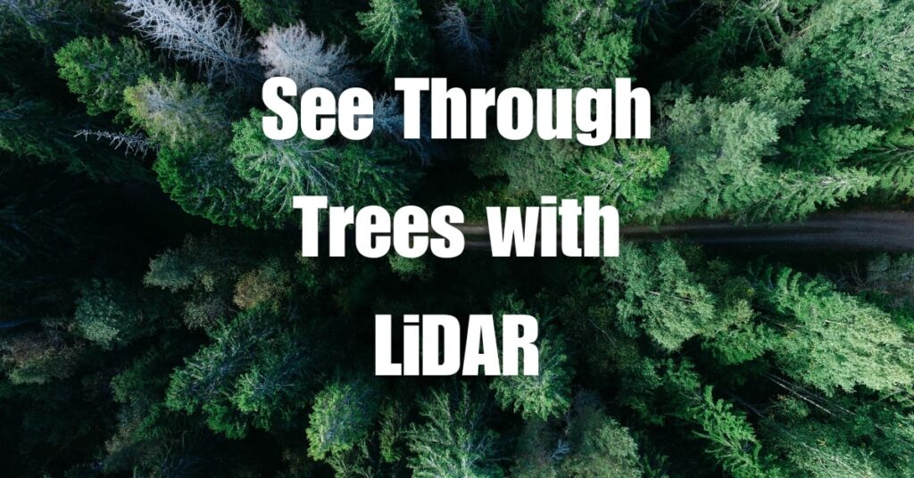
Imagine being able to see through trees and uncover the hidden secrets of nature with unprecedented detail. With LiDAR technology, this is not only possible but is revolutionizing the way we study and manage our environment. In this article, we explore the astonishing ability of LiDAR to see through dense foliage, revealing a world previously hidden from view. Discover how this cutting-edge technology is helping researchers, conservationists, and forest managers make better-informed decisions and protect our planet for generations to come.
Key Takeaways
- LiDAR Technology: Uses laser pulses for detailed mapping, even through dense foliage.
- Components: Includes laser, scanner, photodetector, GPS, and IMUs.
- Foliage Penetration: Capable of mapping forest floors through gaps in vegetation.
- Material Limitations: Effectively penetrates semi-transparent materials but not solid objects like wood.
- Applications in Forestry: Useful for forest management, wildlife habitat assessment, and erosion control.
- Challenges: Involves signal attenuation, complex data processing, and cost factors.
- Future Prospects: Advancements in sensors, algorithms, and integration with other technologies are expected.

What is LiDAR and How Does it Work?
Basics of LiDAR Technology
LiDAR, which stands for Light Detection and Ranging, is a remote sensing technology that uses laser pulses to measure distances and create detailed, accurate maps of the Earth’s surface. It works by emitting laser beams from a sensor, which then bounce off objects and return to the sensor. The time it takes for the light to travel back and forth is used to calculate the distance between the sensor and the object, generating a point cloud of spatial data.
Components of a LiDAR System
A LiDAR system consists of several key components, including:
- Laser: A light source that emits pulses of laser beams to measure distances.
- Scanner and Optics: A mechanism to direct the laser beams and collect the reflected light.
- Photodetector and Receiver Electronics: These components convert the reflected light into electrical signals, which are then processed to obtain distance measurements.
- Position and Navigation Systems: GPS and inertial measurement units (IMUs) are used to determine the accurate position and orientation of the LiDAR sensor, allowing for the georeferencing of the point cloud data.
Seeing Through Trees and Other Objects with LiDAR
Penetrating Dense Foliage and Forest Canopy
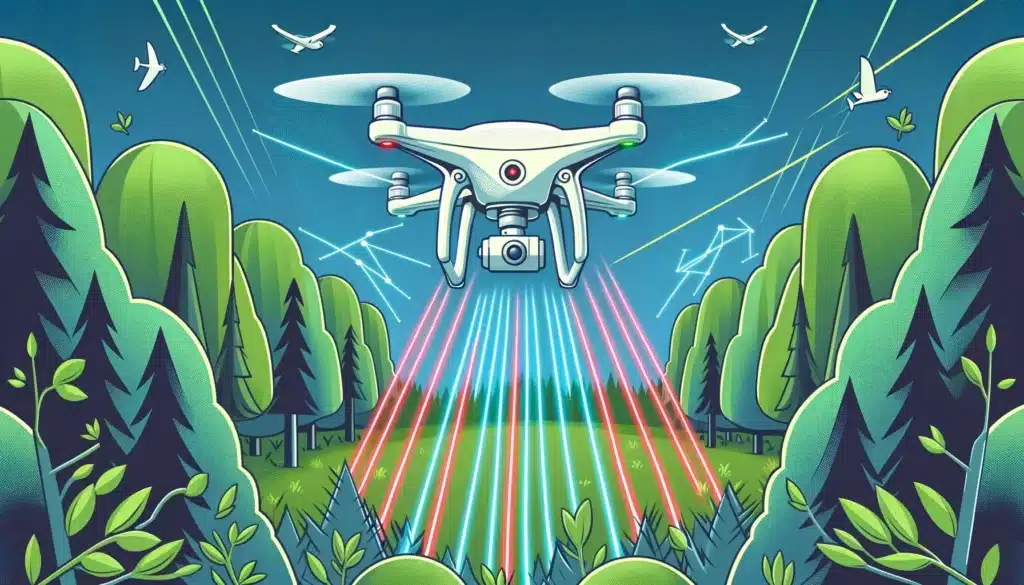
One of the most remarkable features of LiDAR technology is its ability to see through trees and penetrate dense foliage. Unlike traditional optical remote sensing methods, which rely on visible light and can be obstructed by vegetation, LiDAR uses near-infrared wavelengths that can pass through gaps in the foliage and reach the ground. As a result, LiDAR can create accurate, high-resolution maps of the forest floor, even in areas with dense tree cover.
Penetrating Ground, Wood, and Grass
LiDAR’s ability to penetrate various materials depends on factors such as the wavelength of the laser, the material’s transparency to the specific wavelength, and the angle at which the laser beam strikes the surface. In general, LiDAR cannot see through solid objects like wood, but it can penetrate semi-transparent materials like grass and, to some extent, the ground.
Topographic LiDAR systems, which are designed to map the Earth’s surface, typically use wavelengths that are absorbed by water and are less likely to penetrate the ground. However, specialized LiDAR systems, such as bathymetric LiDAR, can penetrate water surfaces and measure depths for applications like coastal mapping and underwater archaeology.
Visibility Range and Accuracy of LiDAR
The visibility range of LiDAR depends on several factors, including the power of the laser, the reflectivity of the objects being measured, and atmospheric conditions. Generally, LiDAR systems can have a range of up to several kilometers. The accuracy of LiDAR measurements is typically very high, with vertical and horizontal accuracies often within a few centimeters. In the context of tree height measurements, LiDAR is known to be highly accurate, often providing more reliable data than traditional ground-based survey methods.
LiDAR’s Ability to Penetrate Tree Canopy Simplified
To help understand how LiDAR can penetrate tree canopies and dense foliage, let’s break it down into simpler terms.
Imagine that the LiDAR sensor is like a flashlight, and it sends out a beam of light. This light, however, is not visible to the human eye and has specific properties that allow it to pass through small gaps between leaves and branches. When the light reaches the ground, it bounces back to the sensor, similar to how an echo works with sound.
Now picture a dense forest with a thick canopy of leaves and branches. When the LiDAR “flashlight” shines its light onto the forest, the light can pass through the small gaps in the canopy and reach the ground. Since the LiDAR system is able to detect the time it takes for the light to travel to the ground and back, it can accurately calculate the distance between the sensor and the ground, even in areas with dense tree cover.
Another important aspect of LiDAR technology that allows it to penetrate tree canopies and create accurate maps of the ground beneath is the use of multiple laser pulses and the movement of the LiDAR sensor.
A LiDAR system sends out thousands or even millions of laser pulses per second, and each pulse has the potential to find its way through the gaps in the tree canopy to reach the ground. As the sensor moves, either mounted on a drone, airplane, or ground vehicle, it covers a wider area and sends out laser pulses at different angles. This movement, combined with the sheer number of pulses, increases the likelihood that some of the pulses will penetrate the canopy and return valuable information about the ground below.
As the LiDAR sensor continues to move and emit laser pulses, it collects a massive amount of data points, forming a detailed point cloud. This point cloud can then be processed and analyzed to generate high-resolution maps and models of the forest floor, even in areas with dense tree cover. The combination of multiple laser pulses, sensor movement, and LiDAR’s ability to “see” through small gaps in the canopy is what makes this technology so effective at mapping the ground beneath dense foliage.
Limitations and Comparisons of LiDAR Technology
How Deep Does LiDAR Penetrate Ground?
While LiDAR is effective at penetrating tree canopies and some semi-transparent materials, its ability to penetrate the ground is limited. Topographic LiDAR systems, commonly used for mapping land surfaces, use wavelengths that are absorbed by water and are less likely to penetrate the ground. In most cases, LiDAR can only penetrate the ground by a few centimeters, if at all. However, specialized LiDAR systems, such as bathymetric LiDAR, can penetrate water surfaces to measure depths for coastal mapping and underwater archaeology applications.
How Accurate are LiDAR Tree Heights?
LiDAR is known for its high accuracy in measuring tree heights. The vertical accuracy of LiDAR measurements typically falls within a few centimeters, often providing more reliable data than traditional ground-based survey methods. This high level of accuracy allows for detailed and precise analyses of forest structure, biomass estimation, and other forestry applications.
What is More Accurate Than LiDAR?
While LiDAR is highly accurate for many applications, some technologies can provide even greater accuracy under specific circumstances. For example, terrestrial laser scanning (TLS) can offer sub-centimeter accuracy for detailed measurements of structures, objects, or landscapes. However, TLS typically has a more limited range and requires more time and effort to collect data than airborne or drone-based LiDAR systems. The choice of technology depends on the specific requirements of the project, such as the level of detail needed, the size of the area to be surveyed, and the project budget.
Applications of LiDAR in Forestry and Environmental Conservation
Forest Management
LiDAR is an invaluable tool for modern forest management. By providing accurate, high-resolution data on tree heights, canopy density, and the forest floor, LiDAR allows forest managers to make better-informed decisions about timber harvesting, forest thinning, and overall forest health. This information can be used to optimize forest growth, improve habitat quality, and reduce the risk of wildfire, pests, and diseases.
Wildlife Habitat Assessment
LiDAR’s ability to see through dense foliage and map the forest floor is particularly useful for assessing wildlife habitats. Detailed LiDAR data can reveal the location of features important for wildlife, such as fallen logs, water sources, and nesting sites. By understanding the spatial distribution of these habitat elements, conservationists can design more effective strategies to protect and enhance wildlife populations.
Erosion Control and Flood Management
LiDAR’s accurate topographic mapping capabilities make it an essential tool for erosion control and flood management. High-resolution elevation data can be used to identify areas prone to erosion or flooding, allowing for the implementation of targeted mitigation measures. Furthermore, LiDAR can help monitor the effectiveness of these measures over time and inform adaptive management strategies to ensure long-term success.
Challenges and Limitations of Using LiDAR in Dense Foliage
Despite its many advantages and capabilities, LiDAR technology also has some challenges and limitations when it comes to mapping dense foliage areas. Some of these challenges include:
Signal Attenuation
While LiDAR is effective at penetrating tree canopies, the laser pulses can still be partially absorbed or scattered by the leaves, branches, and other vegetation. This signal attenuation can lead to a decrease in data quality, particularly in areas with very dense foliage or multiple layers of vegetation.
Data Processing and Interpretation
The large volume of data generated by LiDAR systems can be both an advantage and a challenge. Processing and analyzing this vast amount of information can be computationally intensive and time-consuming, requiring specialized software and skilled personnel. Additionally, interpreting the data and distinguishing between ground points and vegetation points can sometimes be complex, particularly in areas with dense understory or ground vegetation.
Cost and Accessibility
LiDAR systems, especially airborne and drone-based platforms, can be expensive to operate, maintain, and process the data. This can be a limiting factor for some organizations or projects with limited budgets. However, the cost of LiDAR technology has been decreasing over the years, making it more accessible to a wider range of users.
The Future of LiDAR and Dense Foliage Mapping
As LiDAR technology continues to advance, its applications in mapping and understanding dense foliage areas are expected to expand and improve. Some potential developments in the future of LiDAR and dense foliage mapping include:
Improved Sensors and Algorithms
The development of more advanced LiDAR sensors, as well as improved algorithms for data processing and analysis, will likely lead to higher-resolution data and better penetration of dense foliage. This will enable more accurate mapping of the forest floor and a deeper understanding of the ecological processes taking place beneath the canopy.
Integration with Other Remote Sensing Technologies
The integration of LiDAR data with other remote sensing technologies, such as multispectral and hyperspectral imaging, can provide even more detailed information about forest structure and composition. This fusion of data can enhance the accuracy and reliability of forest mapping, enabling better-informed decision-making for forest management and conservation efforts.
Widespread Adoption and Accessibility
As the cost of LiDAR technology continues to decrease and more organizations recognize its value, it is likely that the technology will become more widely adopted and accessible. This will lead to a greater availability of high-quality, dense foliage mapping data for a variety of applications, including forestry, wildlife habitat assessment, and environmental conservation.
In conclusion, LiDAR technology has unlocked new possibilities in understanding and managing our natural world by allowing us to see through trees and dense foliage. From forest management to wildlife habitat assessment, the applications of LiDAR are vast and continue to expand as technology evolves. However, it is crucial to acknowledge the challenges and limitations that come with using LiDAR in dense foliage environments.
If you’re interested in learning more about LiDAR and its applications, we encourage you to visit Aerial LiDAR 101: An Introduction to Its Applications and Benefits for a comprehensive overview. And if you require any drone services, don’t hesitate to contact Blue Falcon Aerial – our team of experts is ready to help you harness the power of LiDAR for your unique needs.