Illinois offers a diverse range of landscapes and picturesque settings that make it an ideal location for capturing amazing aerial photographs with your drone. In this article, we’ll explore the top 5 locations in Illinois that are perfect for drone enthusiasts and aerial photographers. But remember, always check federal, state, and local laws before flying in any of these locations.
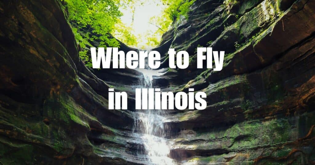
1. Starved Rock State Park
Location: Oglesby, IL Contact: Starved Rock State Park
Starved Rock State Park is a popular destination for outdoor enthusiasts, and its unique beauty makes it a fantastic location for drone photography. The park offers breathtaking views of the Illinois River, fascinating rock formations, and beautiful waterfalls.
Key Features:
- Stunning views of the Illinois River
- Unique rock formations and canyons
- Picturesque waterfalls and lush greenery
Best Time to Fly: The park is open year-round, but the best time to capture the most vibrant colors is during the fall when the leaves change colors.
2. Garden of the Gods Recreation Area
Location: Herod, IL Contact: Shawnee National Forest
Garden of the Gods Recreation Area, located within the Shawnee National Forest, is a must-visit destination for those seeking a unique and picturesque environment. The area is known for its awe-inspiring rock formations, providing a myriad of opportunities for stunning drone photography.
Key Features:
- Dramatic sandstone rock formations
- Panoramic views of the surrounding forest
- Hiking trails and picnic areas
Best Time to Fly: The area is open to visitors year-round, but the most pleasant weather can be found during spring and fall.
3. Chicago Lakefront
Location: Chicago, IL Contact: Chicago Park District
The Chicago Lakefront is an iconic location for drone photographers, offering a striking contrast between the city’s impressive skyline and the serene waters of Lake Michigan. This urban setting provides a unique opportunity to capture stunning aerial photographs.
Key Features:
- Iconic Chicago skyline
- Picturesque Lake Michigan views
- Numerous parks and beaches along the lakefront
Best Time to Fly: The lakefront is open year-round, but the most dramatic images can be captured during sunrise or sunset when the lighting is at its best.
4. Mississippi Palisades State Park
Location: Savanna, IL Contact: Mississippi Palisades State Park
Mississippi Palisades State Park is home to dramatic cliffs and stunning overlooks along the Mississippi River. With its diverse terrain and lush vegetation, this park offers a truly unique setting for aerial photography.
Key Features:
- Dramatic cliffs along the Mississippi River
- Scenic overlooks and hiking trails
- Diverse iverse landscape with lush vegetation
Best Time to Fly: The park is open year-round, but the best time to visit for vibrant colors and comfortable weather is during the spring and fall months.
5. Matthiessen State Park
Location: North Utica, IL Contact: Matthiessen State Park
Matthiessen State Park is a hidden gem that offers a diverse and picturesque landscape for drone photographers. The park features colorful sandstone cliffs, deep gorges, and beautiful waterfalls, creating a visually stunning environment.
Key Features:
- Vibrant sandstone cliffs and gorges
- Picturesque waterfalls
- Hiking trails and picnic areas
Best Time to Fly: The park is open year-round, but the colors of the landscape are most vibrant during the early morning and late afternoon hours when the sun’s angle enhances the natural hues.
Conclusion
Illinois offers a diverse array of landscapes and settings that are perfect for capturing breathtaking aerial photographs. Whether you’re exploring the dramatic cliffs of Mississippi Palisades State Park, the serene beaches along the Chicago Lakefront, or the awe-inspiring rock formations of Garden of the Gods, you’re sure to find the perfect spot for your drone photography. Always remember to check federal, state, and local laws before flying in any of these locations.
If you’re looking to take your drone skills to the next level, we highly recommend reading our comprehensive guide: Soaring High: A Comprehensive Guide to Building and Growing Your Drone Business. This guide will provide you with valuable insights and tips on how to turn your passion for drone photography into a successful business.
For those in need of LiDAR or Orthomosaic project assistance, or if you have any questions, don’t hesitate to contact Blue Falcon Aerial. Our team of experts is ready to help you achieve your aerial photography goals.