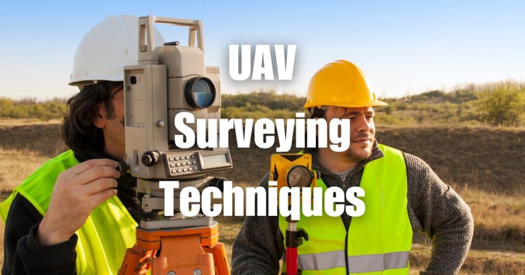
As we soar into 2024, the landscape of surveying is witnessing a revolutionary change, thanks to Unmanned Aerial Vehicles (UAVs). Gone are the days of traditional, time-consuming surveying techniques. UAVs, commonly known as drones, are now leading the charge, bringing unprecedented efficiency and accuracy to the field. This article delves into how UAV surveying techniques are reshaping the industry, showcasing the cutting-edge technologies and diverse applications that are setting new standards in 2024.
Key Takeaways
- Diverse Industry Applications: UAV surveying is revolutionizing industries such as forestry, construction, mining, and environmental monitoring, offering efficient, accurate, and safe surveying solutions.
- Case Study Insights: Real-world examples include forest stock volumetrics in Idaho, erosion monitoring in the Swiss Alps, mining surveys in Serbia, highway construction surveys in Germany, and construction surveys by GM6 Solutions.
- Technological Advancements: The use of advanced drones like WingtraOne and DJI Phantom 4 RTK in these case studies highlights the technological advancements in UAV surveying.
- Enhanced Efficiency and Safety: UAVs are proving to be more efficient and safer alternatives to traditional surveying methods, especially in challenging terrains and large-scale projects.
- Accurate Data Collection: The ability of drones to provide detailed aerial views and accurate data collection is crucial for project management, planning, and environmental conservation.
- Innovative Solutions: These case studies demonstrate innovative uses of UAV surveying, such as 3D model creation, digital terrain modeling, and improved project visualization.
- Impact on Operational Efficiency: The adoption of UAV surveying techniques leads to significant improvements in operational efficiency, cost-effectiveness, and decision-making processes in various sectors.
Advanced Technologies in UAV Surveying
The realm of UAV surveying in 2024 is driven by groundbreaking technologies, each contributing to the enhanced capabilities of drones in the field.
Cutting-Edge Drone Technologies
The latest advancements in UAV technology have revolutionized surveying:
- High-Resolution Cameras: These cameras capture detailed images, crucial for accurate mapping and analysis.
- LiDAR Sensors: LiDAR technology enables drones to create precise 3D maps of the terrain.
- Thermal Imaging: Useful in environmental studies and agriculture, thermal cameras detect heat variations that the naked eye cannot.
- Advanced GPS Systems: Improved GPS accuracy leads to better data collection and navigation.
Benefits of Modern UAV Tech
These technologies have significantly impacted surveying:
- Increased Accuracy: Advanced sensors provide more precise data, leading to reliable survey results.
- Time Efficiency: Drones cover large areas quickly, drastically reducing survey times.
- Cost-Effectiveness: UAVs offer a more affordable alternative to traditional surveying methods, especially for large-scale projects.
Applications of UAV Surveying
UAVs have found diverse applications across various industries, showcasing their versatility and effectiveness.
Fields Benefiting from UAV Surveying
Different sectors leveraging UAV surveying include:
- Construction and Real Estate: Drones are used for site inspections, progress monitoring, and creating 3D models of buildings.
- Agriculture: UAVs assist in crop monitoring, soil and field analysis, and precision farming techniques.
- Environmental Studies: They play a crucial role in wildlife monitoring, forest management, and environmental impact assessments.
- Mining and Geology: Drones help in terrain mapping, resource estimation, and monitoring mining operations.
Real-World Impact: UAV Surveying Case Studies
UAV surveying is revolutionizing various industries by offering efficient, accurate, and safe surveying solutions. The following real-world case studies showcase the diverse applications and transformative impact of UAV surveying:
Forest Stock Volumetrics in Idaho
- Organization: Idaho Forest Group
- Application: Stockpile measurements in forest environments
- Drone Used: WingtraOne
- Outcome: Efficient and safe volumetric analysis of stockpiles in challenging terrains.
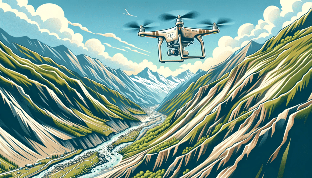
Erosion Monitoring in the Swiss Alps
- Organization: IMPULS AG
- Application: Monitoring erosion and rockfall risks
- Drone Used: WingtraOne
- Outcome: Creation of a detailed 3D model of the area, enhancing safety and survey accuracy.
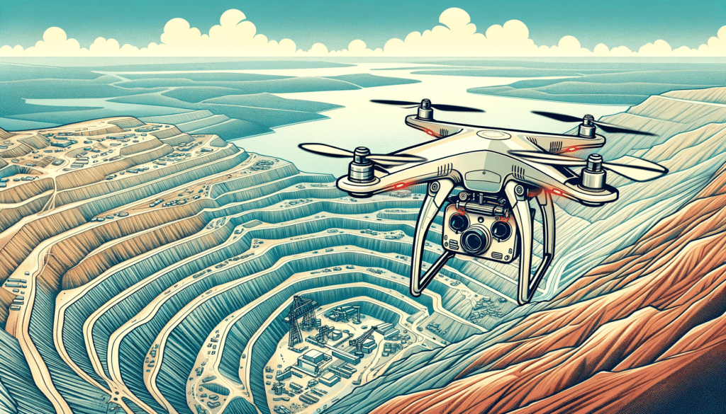
Mining Survey in Serbia
- Organization: RTB Serbian Mining Company
- Application: Survey of copper mining complex
- Drone Used: VTOL WingtraOne
- Outcome: Fast and efficient creation of digital terrain models for ore and waste volume analysis.
Highway Construction Survey in Germany
- Organization: STRABAG SE
- Application: Road surveying of the A3 highway
- Drone Used: DJI Phantom 4 RTK
- Outcome: Improved project management and planning through detailed aerial views.
Construction Survey by GM6 Solutions
- Organization: GM6 Solutions
- Application: Mapping a construction site before and after groundbreaking
- Drone Used: Phantom 3 Pro, Mavic Pro, Phantom 4 Pro
- Outcome: Accurate mapping and verification of excavation work, minimizing error risk.
These examples not only demonstrate the versatility of UAV surveying across different sectors but also highlight how it is changing traditional surveying methods, offering more efficient, safer, and cost-effective solutions. Sources: Skywatch and Coptrz
Challenges and Solutions in UAV Surveying
The expansion of UAV surveying in 2024, while revolutionary, presents its own set of challenges. Addressing these effectively is key to harnessing the full potential of drone technology in surveying.
Navigating Operational Challenges
The common hurdles in UAV surveying include:
- Battery Life Limitations: Despite advancements, battery life remains a constraint, limiting the time drones can spend on a single flight.
- Data Overload: The vast amount of data collected by drones can be overwhelming to process and analyze efficiently.
- Weather Dependence: Drones are sensitive to weather conditions, which can affect their performance and the accuracy of the data collected.
Implementing Solutions
To overcome these challenges, various solutions are being adopted:
- Innovative Battery Technologies: Development of longer-lasting batteries and faster charging solutions is underway.
- Efficient Data Processing Software: New software solutions are emerging to handle large datasets more effectively.
- Weather-Resistant Drones: Manufacturers are designing drones capable of operating in a wider range of weather conditions.
The Future of UAV Surveying
Looking towards the future, UAV surveying is poised for further growth and innovation, with potential impacts that could redefine the industry.
Emerging Trends and Predictions
Anticipated advancements in UAV surveying include:
- AI Integration: Artificial intelligence is expected to play a larger role, from flight navigation to data analysis.
- Autonomous Drone Swarms: The use of coordinated drone swarms for large-scale surveying projects could become a reality.
- Enhanced Real-Time Data Processing: Advances in computing power will allow for real-time processing of complex datasets.
The Broader Impact
The evolution of UAV surveying technology will likely have far-reaching effects:
- Increased Accessibility: As technology becomes more user-friendly and affordable, UAV surveying will be accessible to a wider range of users.
- Enhanced Environmental Monitoring: With improved capabilities, drones will play a crucial role in monitoring and protecting the environment.
- Boost in Economic Efficiency: The increased efficiency and accuracy provided by UAV surveying will drive economic gains across multiple sectors.

UAV surveying techniques have undeniably transformed the landscape of surveying in 2024. From advanced technologies to diverse applications, drones have brought efficiency, accuracy, and innovation to the forefront of the industry. As we continue to embrace these changes, the future of UAV surveying holds exciting possibilities, promising further advancements and wider applications.
For a more in-depth understanding of the applications and benefits of aerial LiDAR, a technology integral to modern UAV surveying, visit Aerial LiDAR 101: An Introduction to its Applications and Benefits. And if you’re seeking expert UAV surveying services or consultation, Blue Falcon Aerial is here to assist. Reach out to us through our contact page for professional support and services tailored to your specific needs. Let’s explore together how UAV surveying can revolutionize your projects in 2024 and beyond.