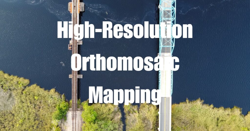
As we step into 2024, high-resolution orthomosaic mapping has become indispensable in numerous fields, from agriculture to urban planning. This article explores the intricate world of orthomosaic mapping, delving into its applications, technological advancements, and how it’s reshaping our understanding of the world around us. Let’s embark on this journey to unlock the true potential of high-resolution orthomosaic mapping.
Key Takeaways
- Orthomosaic Mapping Defined: High-resolution orthomosaic mapping combines numerous aerial photographs to create a detailed, accurate map of an area, offering an unparalleled perspective.
- Technological Evolution: Advancements in drone and camera technologies have significantly enhanced the quality and applications of orthomosaic mapping.
- Agricultural Applications: Precision farming and land management greatly benefit from high-resolution orthomosaics, enabling efficient resource use and crop monitoring.
- Urban Planning Utility: Orthomosaic mapping aids in urban development and infrastructure planning by providing up-to-date, detailed views of city landscapes.
- Environmental Monitoring: This technology is crucial for tracking landscape changes, assessing climate change impacts, and supporting wildlife conservation efforts.
- Archaeological Discoveries with LiDAR: High-resolution orthomosaic mapping, especially using LiDAR, has been instrumental in uncovering lost civilizations, like the Mayan ruins and the ancient Amazonian city in Ecuador.
- Future Prospects: The field is evolving with AI and machine learning, promising even more sophisticated applications in various sectors, including disaster response and wildlife conservation.
Understanding Orthomosaic Mapping
Orthomosaic mapping is a complex yet fascinating process that combines hundreds, sometimes thousands, of aerial photographs to create a single, highly detailed map. It’s like piecing together a giant jigsaw puzzle where each piece is a snapshot from above, meticulously captured by drones.
The Basics of Orthomosaic Mapping
At its core, orthomosaic mapping involves stitching together these overlapping aerial images. Each image is corrected for distortions to create a uniform scale across the entire map. This results in a detailed, accurate representation of an area, as if you’re looking straight down from the sky.
Evolution of the Technology
The journey of orthomosaic mapping is a tale of technological evolution. From the early days of manual stitching to today’s advanced software that seamlessly blends images, the progression has been remarkable. Innovations in drone and camera technology have further enhanced the quality and resolution of these maps.
The Science Behind the Images
Creating an orthomosaic map isn’t just about taking pictures. It’s a science. Drones equipped with GPS and advanced imaging technology capture the earth’s surface in incredible detail. Sophisticated software then processes these images, correcting for factors like camera tilt and topographical variations.
Accuracy and Precision
The accuracy of an orthomosaic map is unparalleled. It provides a level of detail and precision that traditional mapping methods can’t match. This accuracy is crucial in applications where even a small error can lead to significant consequences.
Tools and Technology in Orthomosaic Mapping
The tools and technology used in orthomosaic mapping are as important as the technique itself. They determine the quality, efficiency, and applicability of the final map.
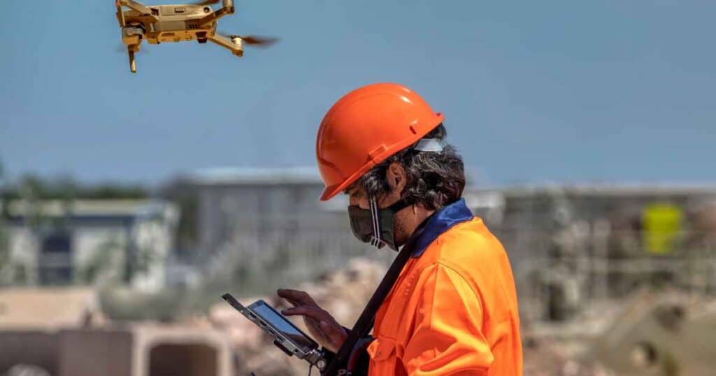
Drones and Cameras: The Eye in the Sky
Drones are the workhorses of orthomosaic mapping. Equipped with high-resolution cameras, they capture the earth from above. The choice of drone and camera depends on the required resolution and the size of the area to be mapped.
Selecting the Right Equipment
- Drones: Options range from lightweight, consumer-grade drones to more sophisticated, commercial models.
- Cameras: High-resolution cameras are essential. Some projects might require specialized sensors, like multispectral cameras, to capture data beyond visible light.
Software: Stitching the World Together
The magic of creating an orthomosaic map happens in the software. It stitches the images together, corrects distortions, and ensures a consistent scale.
Advanced Algorithms
Modern orthomosaic software uses advanced algorithms and machine learning techniques. These algorithms handle the immense amount of data and automate much of the process, significantly reducing the time and effort required.
Table: Key Tools in Orthomosaic Mapping
| Tool | Description | Importance |
|---|---|---|
| Drones | Aerial vehicles equipped with cameras | Capture high-resolution aerial images |
| Cameras | High-resolution and specialized sensors | Provide detailed imagery for mapping |
| Software | Image processing and stitching tools | Create seamless and accurate maps |
In these sections, we’ve explored the core concepts of orthomosaic mapping and the tools that make it possible. This technology, with its combination of advanced equipment and sophisticated software, is reshaping how we view and understand our world.
Applications of High-Resolution Orthomosaic Mapping
The applications of high-resolution orthomosaic mapping are diverse and impactful, stretching across various industries. This technology is revolutionizing the way we approach and manage complex tasks.
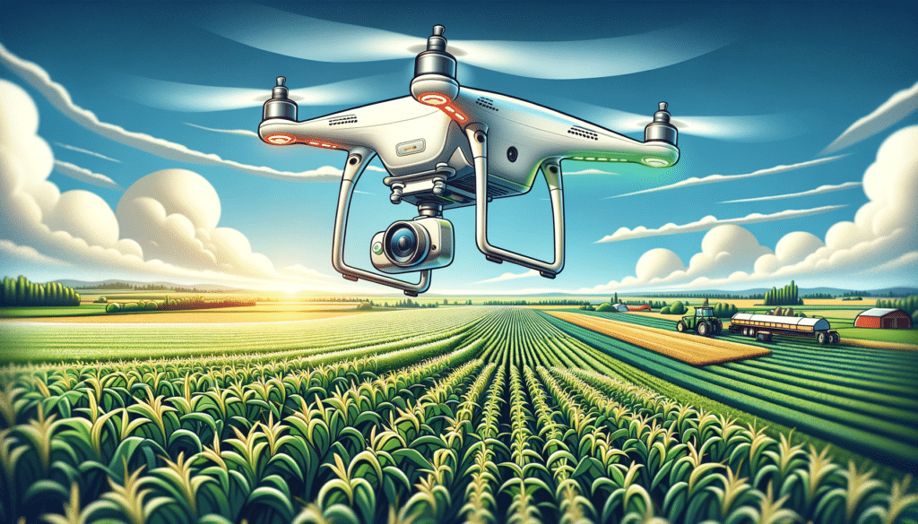
Agriculture: Enhancing Precision Farming
In the agricultural sector, orthomosaic maps are invaluable. Farmers use these detailed maps for precision farming, which involves analyzing soil conditions and crop health. This data-driven approach leads to more efficient use of resources and improved crop yields.
Land Management and Planning
Orthomosaics assist in land management by providing detailed images of large tracts of farmland. This helps in planning crop rotations, irrigation systems, and even in dealing with pests and diseases.
Urban Planning and Construction
Urban planners and construction professionals rely on high-resolution orthomosaics for site analysis and project planning. These maps provide an up-to-date view of urban landscapes, essential for infrastructure development and city planning.
Impact on Development Projects
Imagine a new housing development project. Before even breaking ground, planners can use orthomosaic maps to assess the terrain, existing structures, and access routes, ensuring more efficient and effective planning.
Environmental Monitoring: A Tool for Conservation
Orthomosaic mapping is a powerful tool for environmental monitoring. It enables researchers to track changes in landscapes, monitor wildlife habitats, and assess the impact of climate change.
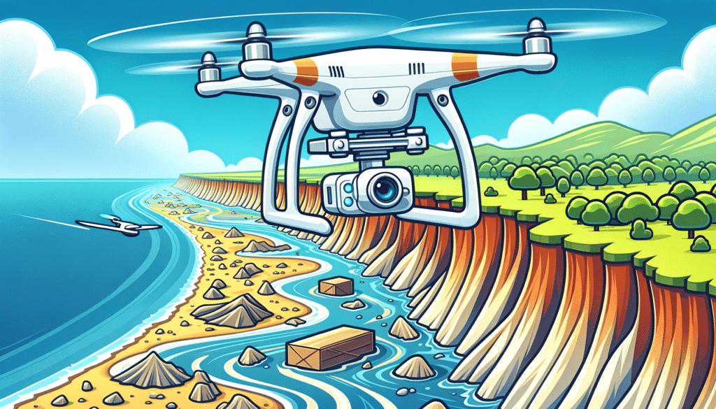
Case Study: Coastal Erosion
Consider a study of coastal erosion. By comparing orthomosaic maps taken over time, scientists can visualize the rate of coastline retreat, aiding in the development of strategies to protect these vulnerable areas.
Archaeology: Uncovering the Past
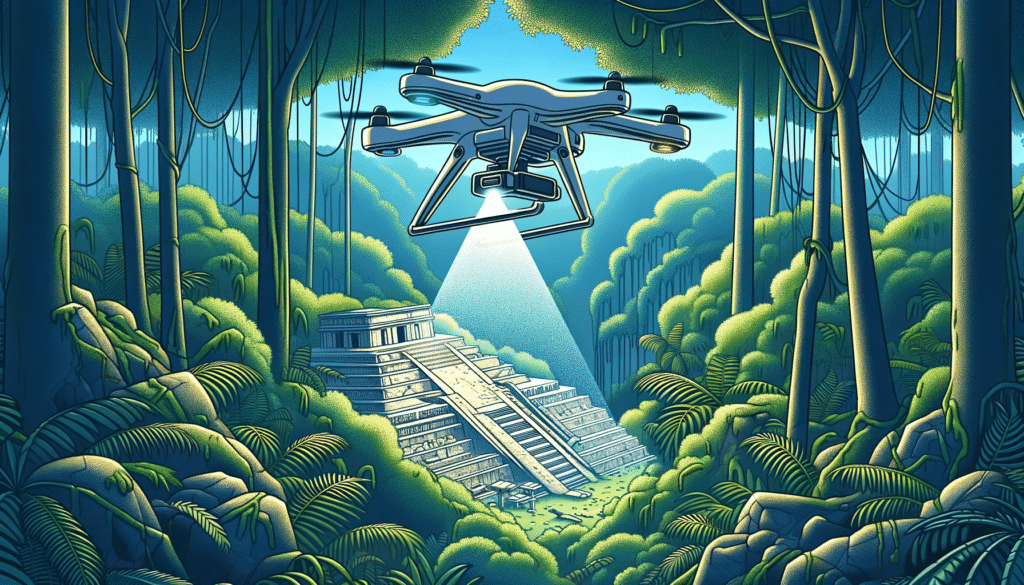
In the realm of archaeology, high-resolution orthomosaic mapping, particularly through LiDAR technology, has revolutionized the way we uncover lost cities and ancient civilizations. LiDAR, which stands for Light Detection and Ranging, has become a pivotal tool in peeling back the layers of time.
LiDAR’s Role in Archaeological Discoveries
LiDAR’s ability to penetrate dense vegetation and provide detailed images of what lies beneath has made it the best choice for discovering hidden ruins. This technology has revealed incredible insights into long-lost civilizations, reshaping our understanding of human history.
The Mayan Ruins Revelation
A striking example is the discovery of the Mayan ruins. LiDAR technology unveiled a vast network of ancient cities hidden beneath the jungles of Central America. This breakthrough offered a new perspective on the complexity and sophistication of the Mayan civilization.
Unearthing the Amazonian City in Ecuador
Similarly, LiDAR was instrumental in uncovering an ancient Amazonian city in the Upano area of eastern Ecuador. This discovery challenged previous assumptions about pre-Columbian civilizations in the Amazon, revealing advanced urban planning and extensive road networks.
Further Reading and Exploration
These discoveries are just the tip of the iceberg. For those intrigued by the power of LiDAR in archaeology and its role in unearthing lost civilizations, two articles provide deeper insights into these fascinating discoveries.
Exploring the Mayan Civilization: Dive into the details of how LiDAR technology revealed the hidden complexities of the Mayan cities. Learn about the implications of this discovery for our understanding of Mayan culture and architecture.
The Amazonian City Uncovered: Understand the significance of the Amazonian city discovery in Ecuador. This article sheds light on how LiDAR helped uncover the urban layout and the extensive road networks, altering our perceptions of pre-Columbian societies in the Amazon.
These articles offer a captivating glimpse into how high-resolution orthomosaic mapping and LiDAR technology are not just tools for modern development but also keys to unlocking the mysteries of our past.
The Process of Creating High-Resolution Orthomosaics
Creating high-resolution orthomosaics is a meticulous process that involves several stages, from data collection to final map analysis.
Data Collection: Capturing the World from Above
The first step is capturing aerial images. Drones, equipped with high-resolution cameras, are flown over the target area. The flight paths are carefully planned to ensure complete coverage and optimal image quality.
Flying the Drones
The drone pilot must consider factors like altitude, speed, and camera settings. The goal is to capture overlapping images that cover the entire area of interest.
Image Processing: From Photos to Maps
Once the images are captured, they are processed using specialized software. This software stitches the images together, corrects distortions, and aligns them to create a seamless map.
The Role of Software
Advanced software not only stitches images but also corrects for variations in light, shadows, and perspective. This results in a uniform, highly accurate orthomosaic map.
Analyzing and Interpreting Data
The final stage involves analyzing the orthomosaic map. Depending on the application, this can range from measuring distances and areas to detecting changes in land use or vegetation.
Application-Specific Analysis
For instance, in agriculture, analysis might focus on identifying areas of stress in crops, while in urban planning, it could involve assessing the suitability of land for development.
Stages in Creating Orthomosaics
| Stage | Description | Importance |
|---|---|---|
| Data Collection | Capturing aerial images with drones | Forms the basis of the map |
| Image Processing | Stitching and aligning images | Creates a coherent and accurate map |
| Data Analysis | Interpreting the orthomosaic map | Provides actionable insights for various applications |
In summary, the creation of high-resolution orthomosaics is a complex process that combines advanced technology with sophisticated analytical techniques. The result is a powerful tool that has applications in agriculture, urban planning, environmental monitoring, archaeology, and more.
Advancements and Future of Orthomosaic Mapping
The field of orthomosaic mapping is not static; it’s evolving rapidly with new advancements reshaping its future. This continuous evolution promises even more sophisticated applications and efficiency.
Cutting-Edge Trends in Orthomosaic Technology
Recent years have seen significant advancements in both hardware and software. Drones are becoming more capable, with longer flight times and better cameras. Software is getting smarter, with AI and machine learning algorithms providing quicker and more accurate image processing.
Integration of AI and Machine Learning
Artificial Intelligence (AI) plays a crucial role in enhancing the efficiency of orthomosaic mapping. Machine learning algorithms can analyze vast amounts of data, identifying patterns and anomalies that might be missed by the human eye.
Future Developments and Potential Applications
Looking ahead, the potential applications of orthomosaic mapping are vast. We can expect to see it being used in new areas such as disaster response, where quick and accurate mapping is crucial, or in wildlife conservation, providing insights into habitat changes and animal movements.
Imagining the Future
Imagine a world where orthomosaic mapping helps in rapid disaster assessment, enabling quicker and more effective response, or where it aids in tracking endangered species, contributing to conservation efforts.
The Significance of High-Resolution Orthomosaic Mapping
This technology has revolutionized how we view and understand our world. It brings a level of detail and accuracy that was previously unattainable, making it an invaluable asset in numerous industries.
Encouraging Further Exploration
For those eager to explore the world of drone photogrammetry and orthomosaics, Blue Falcon Aerial offers a wealth of knowledge and expertise. By visiting Blue Falcon Aerial’s ultimate guide to drone photogrammetry and orthomosaics, you can dive deeper into this fascinating field.
Contact Blue Falcon Aerial for Expert Drone Services
If you need expert drone services or are looking to incorporate high-resolution orthomosaic mapping into your projects, contact Blue Falcon Aerial. Our team is equipped with the latest in drone technology and possesses the expertise to help you unlock the full potential of orthomosaic mapping.
In conclusion, as we continue to push the boundaries of what’s possible with high-resolution orthomosaic mapping, the future looks bright with endless possibilities and opportunities for innovation and discovery.