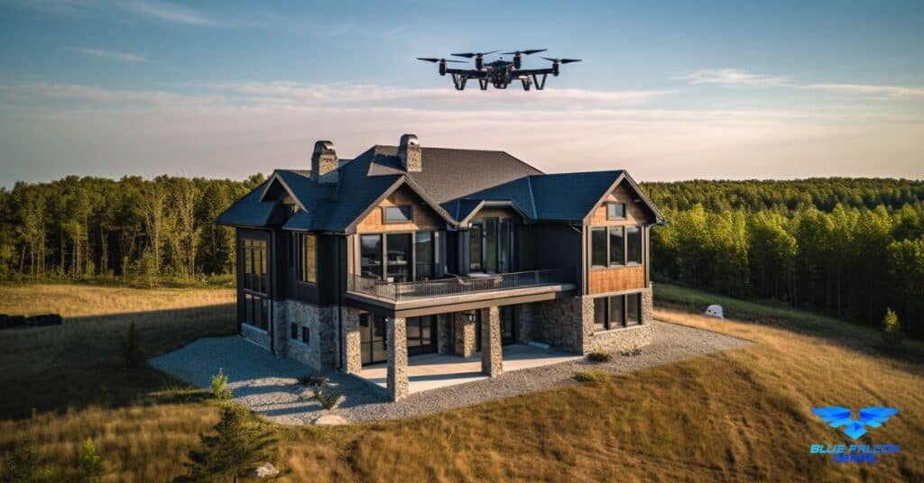
Once confined to the annals of science fiction, LiDAR has now emerged as a pivotal tool in crafting safer, more efficient, and futuristic roadways. At the heart of this transformation is the ability of LiDAR to provide high-resolution, three-dimensional images of terrestrial surfaces, a capability indispensable for modern roadway engineering. As we delve into the world of LiDAR for Roadway Design and Management, we uncover a narrative of innovation, precision, and futuristic engineering.
Key Takeaways
- LiDAR’s Impact on Traditional Roadway Design: LiDAR technology has revolutionized traditional roadway design methods by providing highly accurate, detailed topographical data, enabling more precise and efficient road planning.
- Principles of LiDAR Technology: Understanding the basics of LiDAR, which uses laser pulses to measure distances, is crucial for appreciating its role in roadway design and management.
- Advantages of LiDAR in Roadway Projects: LiDAR offers significant benefits in roadway design, including high accuracy, rapid data collection, and enhanced safety by reducing the need for ground crews.
- LiDAR’s Role in Roadway Maintenance: Beyond design, LiDAR is instrumental in road maintenance, aiding in surface analysis, infrastructure monitoring, and traffic pattern analysis.
- Challenges in Implementing LiDAR: While LiDAR is transformative, challenges like data overload, weather dependency, and high costs pose limitations to its widespread adoption.
- Future of LiDAR in Roadway Management: Emerging trends, such as the miniaturization of systems and integration with AI, point towards expanded applications of LiDAR in roadway design and smart city development.
- Real-World Applications and Case Studies: The article illustrates LiDAR’s practical applications in various projects, including urban planning, highway expansion, and pothole detection, showcasing its versatility in the field of roadway design and management.

The Evolution of Roadway Design
Traditional Methods: A Historical Perspective
The journey of roadway design has been a long and evolving process. Traditional methods, dating back centuries, relied heavily on manual surveying techniques. Teams of surveyors would use basic tools like theodolites and measuring tapes to gather topographical data. This data would then be used to design roadways that conformed to the natural landscape.
| Era | Tools Used | Description |
|---|---|---|
| Pre-20th Century | Chains, Compasses | Basic measurement tools for distance and direction. |
| Early 20th Century | Theodolites, Leveling Instruments | More precise tools for measuring angles and elevations. |
The Digital Revolution: Introducing LiDAR
With the advent of digital technology, roadway design underwent a significant transformation. The introduction of LiDAR technology marked a pivotal moment. LiDAR, using laser pulses to map out surfaces, offered unprecedented accuracy and detail in topographical surveys. This leap in technology not only improved the efficiency of roadway design but also opened up new possibilities in understanding and interacting with the terrain.
Understanding LiDAR Technology
Principles of LiDAR
LiDAR technology operates on a simple yet powerful principle: it measures the time taken for a laser pulse to hit an object and reflect back to the sensor. This data, combined with the speed of light, allows for precise distance measurements.
| Component | Function |
|---|---|
| Laser | Emits a laser pulse towards the target. |
| Scanner | Directs the laser pulses over a wide area. |
| GPS Receiver | Records the exact position of the LiDAR system. |
| Photodetector and Receiver Electronics | Captures the reflected laser pulses. |
How LiDAR Systems Work
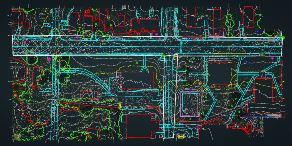
A typical LiDAR system consists of a laser, a scanner, and a specialized GPS receiver. Airplanes and helicopters are the most common platforms for aerial LiDAR systems. These systems sweep the laser beam across the landscape, creating a detailed three-dimensional image of the surface below. The data collected is then processed to create a highly accurate topographical map, crucial for the planning and design of roadways.
| Process Step | Description |
|---|---|
| Data Acquisition | Aerial or terrestrial platforms gather raw LiDAR data. |
| Data Processing | Conversion of raw data into a 3D representation. |
| Application | Utilized in roadway design, urban planning, etc. |
In the next section, we will delve into how these technical capabilities of LiDAR translate into tangible advantages and applications in the realm of roadway design and management.

LiDAR in Roadway Design: Advantages and Applications
Transformative Advantages of LiDAR
LiDAR technology has fundamentally transformed roadway design. Its advantages are numerous and significant:
High Accuracy and Precision: LiDAR provides highly accurate data, crucial for designing roads that need to navigate complex terrains.
Rapid Data Collection: Compared to traditional surveying methods, LiDAR can cover large areas in a shorter timeframe.
3D Modeling Capabilities: LiDAR’s three-dimensional data is invaluable for creating detailed road designs and understanding topographical challenges.
Safety: By using aerial systems, LiDAR reduces the need for ground crews, enhancing safety, especially in difficult terrains.
Environmental Impact Assessment: LiDAR helps in assessing and minimizing the environmental impact of new roadways.
Real-World Applications
LiDAR’s application in roadway design is diverse:
- Route Planning: LiDAR assists in identifying the most efficient and safe routes for new roads.
- Terrain Analysis: Detailed terrain data aids in understanding the geographical challenges in road construction.
- Bridge Design: LiDAR provides precise measurements for designing bridges as part of roadway infrastructure.
- Traffic Management Solutions: It helps in designing road layouts that can improve traffic flow and reduce congestion.
| Application | Description |
|---|---|
| Urban Planning | Integrating road networks efficiently within cityscapes. |
| Rural Road Development | Navigating complex terrains in rural road construction. |
| Highway Expansion | Facilitating the expansion of highways with minimal disruption. |
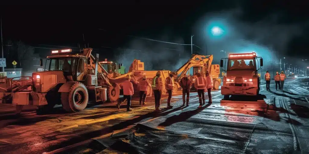
LiDAR for Roadway Management and Maintenance
Maintenance and Management Solutions
LiDAR is not just about designing new roadways; it’s also a vital tool for their maintenance and management:
- Surface Analysis and Repair: LiDAR helps in identifying areas of roads that need repair, from potholes to uneven surfaces.
- Infrastructure Monitoring: Regular LiDAR surveys can monitor the health of existing road infrastructures like bridges and tunnels.
- Traffic Pattern Analysis: It provides data that can be used to optimize traffic flow and reduce congestion.
Case Studies: LiDAR in Action
Several case studies highlight the effectiveness of LiDAR in roadway maintenance:
- Pothole Detection: Cities like Los Angeles have used LiDAR to quickly identify and map potholes across the city.
- Bridge Health Monitoring: Structural health monitoring of bridges using LiDAR has been implemented in various states to ensure safety and longevity.
- Landslide Risk Assessment: In areas prone to landslides, LiDAR helps in early detection and mitigation planning.
| Case Study | Impact |
|---|---|
| Pothole Mapping in Urban Areas | Improved road quality and reduced maintenance costs. |
| Bridge Monitoring Programs | Enhanced safety and extended lifespan of bridges. |
| Landslide Assessment in Mountainous Regions | Prevention of road closures and increased traveler safety. |
In the following sections, we will explore the challenges and limitations of LiDAR technology, along with a look into the future prospects and innovations in the field of roadway design and management.
Challenges and Limitations
Navigating Technical Challenges
While LiDAR technology is transformative, it’s not without its challenges:
- Data Overload: LiDAR generates massive amounts of data, which can be overwhelming to process and interpret.
- Weather Dependency: LiDAR’s effectiveness can be compromised in poor weather conditions, like heavy rain or fog.
- Light Interference: The accuracy of LiDAR can be affected by ambient light conditions, especially in urban areas with abundant artificial lighting.
Economic Considerations
The cost of LiDAR technology is another significant factor:
- High Initial Investment: The initial cost of acquiring LiDAR equipment is considerable, though it’s offset by long-term savings in labor and time.
- Maintenance Costs: Regular maintenance of the equipment and software updates can incur additional expenses.
| Challenge | Description |
|---|---|
| Data Management | Efficiently handling and analyzing large volumes of LiDAR data. |
| Weather Limitations | Mitigating the impact of adverse weather on LiDAR operations. |
| Cost-Benefit Analysis | Balancing the high initial cost against long-term efficiencies. |
Future Prospects and Innovations
Emerging Trends in LiDAR Technology
The future of LiDAR in roadway design and management is bright, with several emerging trends:
- Miniaturization of LiDAR Systems: Advances in technology are leading to smaller, more affordable LiDAR systems.
- Integration with Other Technologies: Combining LiDAR with other technologies like AI and machine learning can enhance data analysis and application.
- Increased Accessibility: As costs decline, LiDAR technology becomes more accessible to smaller firms and local governments.
Potential Future Applications
LiDAR’s potential extends beyond its current uses:
- Autonomous Vehicles: Integration of LiDAR in self-driving cars for better navigation and safety.
- Smart City Development: Using LiDAR data for planning and managing smart city infrastructures.
- Disaster Management: Employing LiDAR for risk assessment and management in disaster-prone areas.
| Innovation | Potential Impact |
|---|---|
| AI-Enhanced LiDAR | Improved data processing and interpretation capabilities. |
| Drone-Based LiDAR | Increased accessibility and versatility in data collection. |
| Real-Time LiDAR Mapping | Providing immediate data for emergency response and urban planning. |
In conclusion, while LiDAR technology faces certain challenges, its future in revolutionizing roadway design and management is undeniable. With ongoing innovations and expanding applications, LiDAR stands poised to redefine our approach to infrastructure development and maintenance.
Partnering with Blue Falcon Aerial for Your LiDAR Roadway Projects
As the applications of LiDAR in roadway design and management continue to expand, partnering with a professional and experienced provider like Blue Falcon Aerial can help ensure the success of your projects. Blue Falcon Aerial offers cutting-edge LiDAR technology and services to support a wide range of transportation projects, from road construction planning to pavement condition assessment and beyond.
How Blue Falcon Aerial Can Help
Blue Falcon Aerial specializes in providing high-quality, accurate LiDAR data and services tailored to the unique requirements of your roadway projects. By leveraging their expertise in LiDAR technology and GIS integration, Blue Falcon Aerial can help you:
- Collect precise, high-resolution LiDAR data for your projects
- Develop accurate topographic maps and 3D models for road design and construction
- Assess and monitor pavement conditions and roadway assets
- Identify and address potential road safety hazards
- Optimize traffic flow and congestion management
- Enhance environmental sustainability in your roadway projects
To learn more about Blue Falcon Aerial’s LiDAR services, visit their LiDAR page.
Comprehensive Deliverables for Your Roadway Projects
Blue Falcon Aerial understands the importance of providing actionable insights and valuable deliverables to support your roadway design and management projects. Their team of experts work closely with you to understand your project goals and deliver customized solutions to meet your needs.
Some of the deliverables offered by Blue Falcon Aerial include:
- High-resolution aerial imagery
- Detailed topographic maps and elevation models
- 3D point clouds and surface models
- Georeferenced orthophotos and orthomosaics
- Infrastructure asset inventories and condition assessments
- Slope stability and drainage analysis
For more information on the comprehensive deliverables offered by Blue Falcon Aerial, visit their Deliverables page.
If you’re looking to harness the power of LiDAR technology for your roadway design and management projects, consider partnering with Blue Falcon Aerial. Their expertise and advanced solutions can help you achieve better outcomes, save time and resources, and ultimately improve the safety, efficiency, and sustainability of your transportation systems. To discuss your project needs and learn more about their services, contact Blue Falcon Aerial today.
In conclusion, LiDAR technology has revolutionized roadway design and management, offering a wide range of applications and benefits. From road surface analysis to traffic flow optimization and safety improvements, LiDAR provides precise data and insights that enable better decision-making, ultimately resulting in more efficient, cost-effective, and environmentally friendly transportation systems. The integration of LiDAR data with GIS further enhances its capabilities, making it a powerful tool for modern roadway management. Real-world case studies demonstrate the successful implementation of LiDAR in various aspects of roadway design and management. If you are interested in learning more about LiDAR and its applications, we recommend reading our article on Aerial LiDAR 101: An Introduction to Its Applications and Benefits.