Orthomosaic mapping has become an essential tool in industries such as agriculture, surveying, and construction. With the growing demand for accurate and efficient orthomosaic maps, a wide variety of software options have become available. In this article, we’ll dive into the world of orthomosaic software and provide a side-by-side comparison of the best tools available, helping you make an informed decision on which solution best fits your needs. Get ready to explore our orthomosaic software comparison.
Overview of Orthomosaic Mapping
Orthomosaic mapping is a technique that combines multiple aerial images, often captured by drones, to create a single, seamless, high-resolution map. The process involves stitching together overlapping photos while correcting for distortions and inconsistencies, resulting in an accurate and detailed representation of the area of interest.
Criteria for Comparing Orthomosaic Software
When comparing orthomosaic software, it’s essential to consider several key factors that determine the overall performance and suitability of the software for your needs. In this section, we’ll discuss the primary criteria to help you make an informed decision.
Accuracy
Accuracy is a crucial factor in orthomosaic mapping, as it directly impacts the quality and reliability of the resulting map. The software should be capable of producing maps with high spatial resolution and minimal distortion.
Processing Speed
Efficient processing speed is essential for generating orthomosaic maps quickly, especially when dealing with large datasets. Faster processing speeds enable you to complete projects in a timely manner and reduce downtime.
Ease of Use
The user interface and overall usability of the software play a significant role in determining how easy it is to learn and operate. A user-friendly software will have intuitive navigation, clear instructions, and helpful tutorials, enabling users of varying skill levels to effectively use the program.
Integration with Other Platforms
Compatibility and integration with other platforms, such as Geographic Information Systems (GIS) and Computer-Aided Design (CAD), allow you to seamlessly incorporate orthomosaic maps into your existing workflows and streamline your processes.
Cost
Lastly, the cost of the software is an essential factor to consider, especially for smaller organizations or individuals with limited budgets. Comparing software options based on their features, performance, and pricing can help you find the best value for your investment.
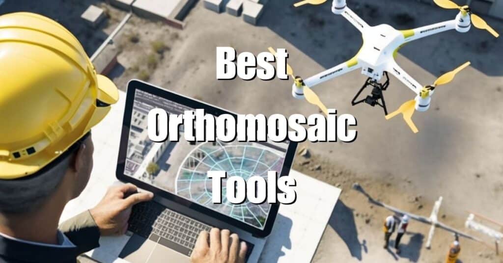
Top Orthomosaic Software Options
In this section, we’ll introduce the top orthomosaic software options available, providing a brief overview of each tool’s features and capabilities.
Pix4D
Pix4D is a widely used and highly regarded orthomosaic software solution that offers a comprehensive suite of tools for processing, analyzing, and visualizing aerial imagery. It boasts high accuracy, fast processing speeds, and compatibility with various drone platforms.
Agisoft Metashape
Agisoft Metashape is another popular choice for generating orthomosaic maps. This software is known for its robust features, such as advanced photogrammetry capabilities, 3D model generation, and terrain reconstruction.
DroneDeploy
DroneDeploy is a user-friendly cloud-based solution that simplifies the process of creating orthomosaic maps. It offers real-time processing, collaboration tools, and integration with various applications, making it a versatile choice for many industries.
Global Mapper
Global Mapper is a comprehensive GIS software that also offers powerful orthomosaic mapping features. Its wide range of tools, support for numerous file formats, and customizable interface make it a flexible solution for professionals.
Esri Drone2Map
Esri Drone2Map is a part of the popular ArcGIS platform and provides users with an easy-to-use tool for creating orthomosaic maps. With seamless integration into the ArcGIS ecosystem, it’s an excellent choice for users already familiar with Esri products.
Comparison of Orthomosaic Software
Now that we’ve introduced the top orthomosaic software options, let’s compare their features and performance based on the criteria discussed earlier.
Accuracy
All of the listed software options provide high accuracy in generating orthomosaic maps. Pix4D and Agisoft Metashape are known for their exceptional accuracy in photogrammetry, while DroneDeploy, Global Mapper, and Esri Drone2Map offer reliable results as well.
Processing Speed
Pix4D and Agisoft Metashape offer fast processing speeds, but they require powerful hardware for optimal performance. DroneDeploy, being a cloud-based solution, leverages cloud computing resources, resulting in rapid processing without taxing your local hardware. Global Mapper and Esri Drone2Map offer decent processing speeds but may vary depending on the complexity of the project and hardware capabilities.
Ease of Use
DroneDeploy stands out for its user-friendly interface and ease of use, making it suitable for users with limited experience in orthomosaic mapping. Pix4D and Agisoft Metashape, while powerful, have a steeper learning curve due to their extensive features. Global Mapper and Esri Drone2Map are relatively easy to use, particularly for those familiar with GIS software.
Integration with Other Platforms
All of the mentioned software options offer integration with popular GIS and CAD platforms. Pix4D, Agisoft Metashape, and DroneDeploy provide various export formats and API support, while Global Mapper and Esri Drone2Map integrate seamlessly with their respective GIS ecosystems.
Cost
The cost of the software varies, with Pix4D and Agisoft Metashape being on the higher end of the pricing spectrum. DroneDeploy offers a range of subscription plans, making it accessible to various budgets. Global Mapper and Esri Drone2Map are moderately priced, with the latter offering a more attractive pricing model for existing ArcGIS users.
Selecting the Ideal Orthomosaic Software for Your Project
When it comes to choosing the right orthomosaic software, several factors should be considered to ensure that you’re making the best decision for your project. Here are some key aspects to take into account when evaluating your options:
Purpose and Scope of the Project
Determine the primary objective of your project and the scale of the area you intend to map. Are you conducting large-scale land surveys, or are you focusing on smaller construction sites? Different software options may cater better to specific project types and sizes, so consider your project’s purpose and scope when making your decision.
Level of Experience
Your experience with photogrammetry and orthomosaic mapping will significantly impact your choice of software. If you’re new to the field or prefer a more user-friendly option, DroneDeploy is an ideal choice due to its intuitive interface. On the other hand, professionals with experience in the field may prefer Pix4D or Agisoft Metashape for their advanced features and customization capabilities.
Hardware Requirements
Take note of your computer’s hardware capabilities, as processing large datasets for orthomosaic maps can be resource-intensive. Pix4D and Agisoft Metashape are powerful tools, but they require robust hardware to perform optimally. DroneDeploy, being a cloud-based solution, allows for faster processing without overloading your local computer.
Integration with Existing Systems
If you’re already using GIS or CAD platforms, you may want to choose software that can integrate seamlessly with your existing systems. Global Mapper and Esri Drone2Map are great choices for GIS professionals due to their compatibility with popular GIS platforms.
Budget Constraints
Cost is always an essential factor when selecting software. Consider the pricing models of each option and weigh them against the features and capabilities they offer. DroneDeploy’s subscription-based pricing makes it accessible for various budgets, while Pix4D and Agisoft Metashape may be more suitable for those willing to invest in higher-end solutions.
By carefully examining each of these factors, you can select the orthomosaic software that best fits your needs and ensures the success of your project. Remember that the ideal software for you may not be the same as what works best for someone else; consider your unique requirements and preferences when making your decision.
In conclusion, selecting the right orthomosaic software is crucial for obtaining accurate, efficient, and high-quality results. By comparing the top orthomosaic software options based on factors like accuracy, processing speed, ease of use, integration with other platforms, and cost, you can make an informed decision that best suits your needs.
If you’re interested in learning more about drone photogrammetry and orthomosaics, don’t hesitate to visit our comprehensive Ultimate Guide to Drone Photogrammetry and Orthomosaics. Should you require any drone services, reach out to the professionals at Blue Falcon Aerial to discuss your project requirements and how we can help you achieve your goals.