In today’s rapidly evolving technology landscape, Aerial LiDAR Explained has become a buzzword in the mapping industry. With its high-resolution, accurate, and rapid data collection capabilities, LiDAR (Light Detection and Ranging) has revolutionized the way we survey and map the Earth’s surface. This advanced laser scanning technology has opened up new possibilities and applications in various industries, from infrastructure planning to environmental conservation. In this article, we’ll delve into the fascinating world of aerial LiDAR, exploring how it works, its wide-ranging applications, and its impact on the future of mapping.
Understanding Aerial LiDAR
How Aerial LiDAR Works
Aerial LiDAR, or Light Detection and Ranging, is a remote sensing technology that uses laser pulses to measure distances and generate detailed, accurate 3D maps of the Earth’s surface. The LiDAR system emits laser pulses towards the ground from an airborne platform, such as an airplane or a drone. These pulses then bounce off objects and the terrain, returning to the LiDAR sensor. By measuring the time it takes for each pulse to return, the system calculates the distance between the sensor and the object, ultimately creating a highly accurate, three-dimensional representation of the landscape.
Three Basic Types of LiDAR
There are three basic types of LiDAR systems, each designed for specific applications and environments:
Terrestrial LiDAR: This type of LiDAR is ground-based and used for detailed scanning of smaller areas, such as buildings, bridges, or other structures. Terrestrial LiDAR systems can be either stationary or mobile, depending on the application.
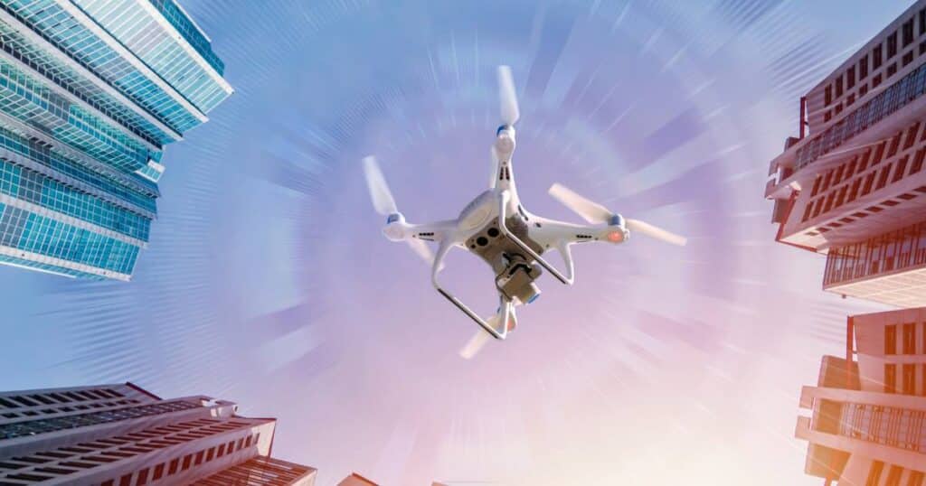
Airborne LiDAR: Also known as aerial LiDAR, this system is mounted on aircraft or drones and is used for scanning larger areas, such as forests, cities, or entire regions. Airborne LiDAR is especially useful for topographic mapping and large-scale infrastructure projects.
Mobile LiDAR: Mobile LiDAR systems are typically mounted on vehicles and are used to collect data in urban environments, along transportation corridors, or for other applications where high-resolution data is required over long distances.
Essential Components of an Aerial LiDAR System
An aerial LiDAR system consists of several essential components that work together to collect accurate and high-resolution data:
Laser Transmitter: This component emits laser pulses at specific wavelengths towards the ground.
Scanner: The scanner directs the laser pulses across the area being surveyed, ensuring complete coverage of the region of interest.
Receiver and Photodetector: These components capture the returning laser pulses after they have bounced off objects and the terrain.
Inertial Measurement Unit (IMU) and Global Positioning System (GPS): These components provide precise information about the position and orientation of the LiDAR system, allowing the data to be accurately georeferenced.
Accuracy of Aerial LiDAR
Aerial LiDAR is known for its high accuracy and precision, typically achieving vertical accuracies of around 10-15 centimeters and horizontal accuracies of around 30-50 centimeters. The exact accuracy of an aerial LiDAR system depends on factors such as the laser pulse repetition rate, the flying altitude, the scanning angle, and the sensor’s precision. Overall, aerial LiDAR provides a highly accurate and reliable method for capturing detailed, 3D data of the Earth’s surface.
Applications of Aerial LiDAR
Aerial LiDAR technology has numerous applications across various industries, thanks to its ability to provide high-resolution, accurate, and rapid data collection. Some of the most common applications include:
Topographic Mapping
Aerial LiDAR is frequently used for topographic mapping, which involves creating detailed and accurate maps of the Earth’s surface features. By capturing elevation data with high precision, LiDAR enables the creation of digital elevation models (DEMs) and digital terrain models (DTMs), providing essential information for urban planning, flood risk assessment, and other geospatial analyses.
Forestry and Vegetation Management
LiDAR’s ability to penetrate vegetation canopies makes it particularly valuable for forestry and vegetation management applications. Aerial LiDAR can be used to assess forest health, estimate biomass and carbon stocks, monitor deforestation, and support sustainable forest management practices. Additionally, LiDAR data can help identify individual tree species and assist in mapping invasive plant species, aiding in conservation efforts.
Infrastructure and Utility Mapping
Aerial LiDAR is widely used for mapping and monitoring infrastructure, such as roads, bridges, railways, and powerlines. By generating detailed 3D models of these assets, LiDAR data supports the planning, design, and maintenance of infrastructure projects. Furthermore, LiDAR can be employed to identify potential hazards, such as vegetation encroachment on power lines, and support disaster response efforts.
Archaeology and Cultural Heritage
Aerial LiDAR has proven to be a valuable tool for archaeologists and cultural heritage professionals, as it can reveal hidden features beneath dense vegetation or soil. LiDAR data has been used to discover previously unknown archaeological sites, map ancient road networks, and study the impacts of climate change on cultural landscapes.
Benefits of Aerial LiDAR
Aerial LiDAR offers several key benefits that make it a preferred technology for various industries:
High Resolution and Accuracy
As mentioned earlier, aerial LiDAR provides extremely accurate and high-resolution data, allowing for detailed and precise mapping of the Earth’s surface. This high level of detail is essential for many applications, such as infrastructure planning, environmental monitoring, and archaeological site discovery.
Rapid Data Collection
Compared to traditional surveying methods, aerial LiDAR can cover large areas quickly, reducing the time and cost associated with data collection. This makes LiDAR a valuable tool for time-sensitive projects or those with limited budgets.
Ability to Penetrate Vegetation and Water
A unique advantage of LiDAR technology is its ability to penetrate vegetation canopies and shallow water bodies, enabling the collection of data that may not be accessible through other remote sensing methods. This capability is particularly useful for applications in forestry, wetland mapping, and archaeology.
Integrating Aerial LiDAR with Other Technologies
Aerial LiDAR data can be combined with other geospatial technologies to enhance data analysis and visualization. Some examples of these integrations include:
GIS and Remote Sensing
Geographic Information System (GIS) software can be used to manage and analyze aerial LiDAR data in conjunction with other spatial datasets, such as satellite imagery or vector data. Remote sensing techniques, such as multispectral or hyperspectral imaging, can be integrated with LiDAR data to provide additional information about land cover, vegetation health, and other surface properties.
UAVs and Manned Aircraft
Aerial LiDAR systems can be mounted on various platforms, such as UAVs (unmanned aerial vehicles) and manned aircraft, to suit different project requirements and budgets. UAV-mounted LiDAR systems are particularly useful for smaller-scale projects or those requiring high-resolution data at lower altitudes.
Future of Aerial LiDAR and the Mapping Industry
The future of aerial LiDAR and the mapping industry is promising, with ongoing advancements in sensor technology, data processing, and integration with other geospatial tools. Some of the key trends and developments include:
Increasing affordability and accessibility: As LiDAR systems become more affordable and accessible, we can expect to see an increase in the adoption of this technology across various industries, leading to more efficient decision-making and better understanding of our changing world.
Advancements in AI and machine learning: The integration of artificial intelligence (AI) and machine learning (ML) technologies with aerial LiDAR presents exciting opportunities for automating the extraction of valuable information from the raw data. This could streamline data analysis and provide more accurate and reliable insights for decision-making.
Enhancements in sensor technology: Ongoing improvements in LiDAR sensor technology are expected to lead to increased accuracy, resolution, and the ability to capture data in challenging environments. These advancements will further expand the applications and capabilities of aerial LiDAR, making it even more valuable for a wide range of industries.
Collaboration and data sharing: There is an opportunity for greater collaboration and data sharing among different organizations and industries that use aerial LiDAR data. By pooling resources and sharing information, stakeholders can make more informed decisions and develop innovative solutions to pressing environmental and infrastructure challenges.
Aerial LiDAR has truly revolutionized the mapping industry, offering a range of benefits and applications that were previously unimaginable. As we’ve explained throughout this article, LiDAR technology enables high-resolution, accurate, and rapid data collection, allowing for more efficient and informed decision-making in various sectors. By integrating aerial LiDAR with other technologies such as GIS, remote sensing, and UAVs, we can expect even greater advancements and innovations in the years to come.
If you’re interested in learning more about this cutting-edge technology, we encourage you to check out our comprehensive guide on Aerial LiDAR 101: An Introduction to its Applications and Benefits. And, if you need any drone services or assistance in implementing aerial LiDAR for your projects, don’t hesitate to contact Blue Falcon Aerial. Our team of experts is ready to help you harness the power of LiDAR technology to achieve your goals.