With a wave of technological advancements reshaping industries, small-scale projects are no exception. Our focus keywords – “Using Aerial LiDAR for small projects” – hint at the game-changing potential that this technology carries. Aerial LiDAR, or Light Detection and Ranging, can completely revolutionize the way small-scale projects are conceptualized, planned, and executed. Read on as we delve into the intricacies of this remarkable technology and demonstrate its transformational power.
Key Takeaways
- Aerial LiDAR’s Definition and Functionality: It’s a modern mapping technique using drones and laser technology, specifically advantageous for small-scale projects.
- Benefits Over Conventional Surveying: The technology is highlighted for its speed, accuracy, and cost efficiency, outperforming traditional survey methods.
- Practical Applications: The article discusses its use in varied small-scale projects, such as environmental monitoring and infrastructure planning.
- Expert Insights and Future Trends: Includes perspectives on the evolving role of drone-based LiDAR in surveying and potential growth areas.
- Case Studies and Real-world Examples: Demonstrates LiDAR’s effectiveness with specific project instances.
Understanding Aerial LiDAR Technology
Definition and Workings of Aerial LiDAR
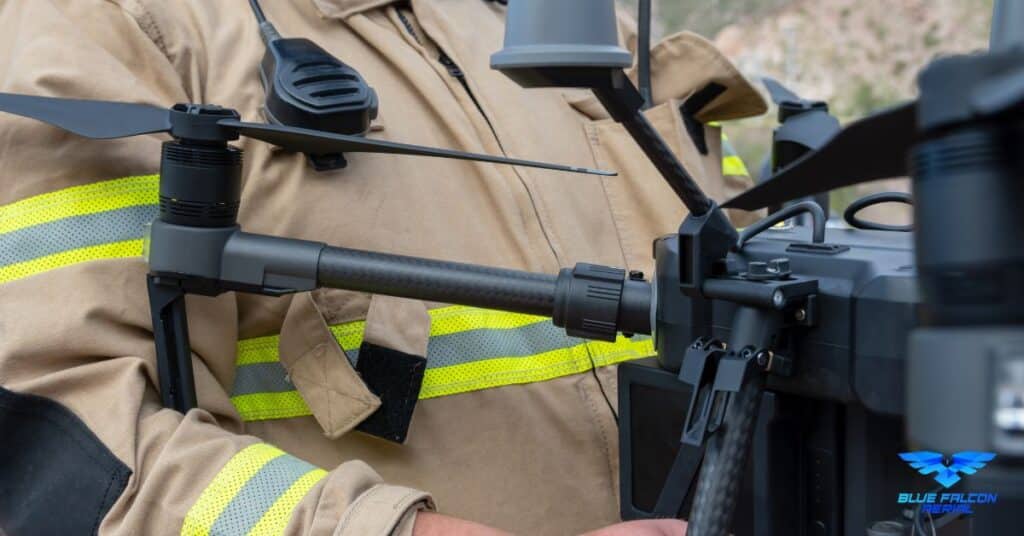
Aerial LiDAR, which stands for Light Detection and Ranging, is a method used for measuring the exact distance of an object on the earth’s surface. It leverages the technology of lasers to send a pulse of light to the target and then measures the time it takes for the light to return to the sensor.
The principle behind LiDAR is simple – it uses the speed of light to measure distance. As the light travels at a constant speed, by calculating the time it takes for the light to reach the object and bounce back, we can accurately calculate the distance. The calculation is as follows:
Distance = (Speed of Light x Time of Flight) / 2
Difference Between Aerial LiDAR and Traditional Surveying Techniques
Unlike traditional surveying techniques, Aerial LiDAR offers a bird’s eye view that allows for a more comprehensive analysis of the surface. This distinction becomes especially apparent when we compare these techniques side by side:
| Method | Aerial LiDAR | Traditional Surveying |
|---|---|---|
| Coverage | Wider coverage in a shorter span of time | Limited to small areas at a time |
| Data Accuracy | Highly accurate three-dimensional data | Mostly two-dimensional, less detailed data |
| Terrain Access | Can map tough terrains with ease | Restricted by terrain accessibility |
| Weather | Operable in most weather conditions | Weather-dependent |
| Speed | Fast and efficient | Time-consuming |
| Data Interpretation | Digital models enable quick and detailed interpretation | Manual interpretation can be slow and error-prone |
Why Use Aerial LiDAR for Small Projects?
As we delve into the reasons behind using Aerial LiDAR for small projects, it’s clear that its advantages stem from three major aspects – speed, detailed data collection, and cost-effectiveness.
Speed and Efficiency
The speed and efficiency of Aerial LiDAR are unmatched. It has the capability to cover large areas quickly, making it a time-saving solution for small projects. Instead of weeks or even months with traditional surveying, data collection can be completed in just a few days.
Detailed Data Collection
The level of detail that Aerial LiDAR offers is another significant advantage. With the ability to capture up to hundreds of thousands of points per second, it generates a dense point cloud that provides a highly detailed 3D model of the surface. This level of detail enables more precise planning and decision-making.
Cost Effectiveness
While the upfront costs of Aerial LiDAR may be higher than traditional methods, the overall savings in terms of time and manpower make it a cost-effective solution. With faster data collection and less time spent on manual processing and analysis, the cost per unit area surveyed often turns out to be lower with Aerial LiDAR.

Application of Aerial LiDAR in Small-scale Projects
Aerial LiDAR is increasingly becoming the preferred choice for small-scale projects due to its precision and efficiency. It offers solutions to a broad spectrum of industries, providing unprecedented insights into land topography and infrastructural planning.
Land Surveying
The use of Aerial LiDAR technology in land surveying has resulted in faster and more accurate outcomes. Traditional land surveying can be time-consuming and may not deliver as detailed data as LiDAR, particularly in challenging terrains. With LiDAR, one can get a comprehensive and accurate 3D view of the terrain, including its elevation and vegetative details, aiding in precise decision-making.
Infrastructure Planning
In infrastructure planning, Aerial LiDAR can play a significant role in the initial stage of site planning and design. It provides an accurate 3D model of the area, allowing engineers and architects to make informed decisions about where to place roads, buildings, and other infrastructure. This accuracy results in improved project outcomes, reduced rework, and more efficient use of resources.
Environmental and Conservation Projects
Aerial LiDAR technology’s accuracy in capturing detailed information about the terrain and vegetation can help significantly in environmental and conservation projects. By creating a detailed 3D map of the terrain, scientists can better understand and monitor changes in the environment, such as deforestation, land degradation, and the impact of climate change.
Expert Insight: A Conversation with Tom Joswick-Murphy
To further understand the future of Aerial LiDAR in surveying, especially in small projects, we had the pleasure of speaking with Tom Joswick-Murphy, a licensed surveyor based out of Texas. Known for his bold predictions and unwavering confidence in the technology, Tom provides a fascinating look into the potential of drone LiDAR from a surveyor’s perspective.
“In terms of drones and LiDAR in surveying, I think the technology is advancing fast enough to reach a point where you could do an ALTA survey, which is the gold standard in surveying. Once we can achieve those standards with drones and LiDAR, it’s game over,” says Tom.
ALTA surveys, or American Land Title Association surveys, are comprehensive boundary surveys that are widely regarded as the most stringent and detailed type of survey. Achieving this level of detail with drones and LiDAR would indeed be a game-changer for the industry.
Tom continues to explain the fast-emerging tools that can extract detailed features on a property, such as fences, edges of buildings, sidewalks, and driveways, contributing to the possibility of completing ALTA surveys in just 30 minutes.
When asked about the future, Tom was emphatic, “I’m saying it, I’m going to say, and yeah, I want to say in about 10 years, we’re going total drone.”
His prediction may sound bold, even outrageous, especially coming from a surveyor, but Tom backs it up with recent technological advancements.
“I’ve already seen LiDAR units and terrestrial LiDAR units that have GPS integrated into them, meaning you don’t need to set ground control to operate your terrestrial LiDAR. And as I mentioned earlier, that Trimble SX12, it’s both a total station and a scanner. With that one tool, you can do your boundary and you can scan other elements. And then you have a tool that can pull out your linework. There’s your project right there, one instrument.”
Tom’s insights underline the rapidly evolving nature of surveying and the clear path towards greater integration of drone technology. His final message to fellow surveyors was a call for unity and collaboration, highlighting the important role that drone operators can play in complementing the work of traditional surveyors.
His words underscore the potential of drone LiDAR technology, not only as a tool for surveying but as a catalyst for industry growth and evolution. His prediction that we are heading towards “total drone” in the next decade could very well be the future of surveying.
Watch the Full Interview Below
In this article, we’ve embarked on a fascinating journey through the world of Aerial LiDAR, seeing how it’s proving to be a game-changer for small-scale projects. It is clear that this technology offers unparalleled benefits in terms of speed, efficiency, cost-effectiveness, and accuracy of data. If you’ve enjoyed this deep dive and want to further explore the realm of advanced drone technology, we highly recommend you check out our guide on building and growing your drone business here. The guide complements this article by providing an in-depth look at the drone industry’s commercial aspects and business growth strategies.
For all your drone service needs, don’t hesitate to get in touch with us at Blue Falcon Aerial. We bring the power of advanced drone technologies like Aerial LiDAR to your projects. To contact us, please visit this page.