Imagine a world where infrastructure inspections are faster, more accurate, and safer than ever before. That world is here, thanks to the innovative combination of drone technology and Light Detection and Ranging (LiDAR) systems. By utilizing LiDAR for infrastructure inspections, professionals in the industry can revolutionize the way they approach the crucial task of maintaining our essential structures. In this article, we’ll take a closer look at the transformative power of drone LiDAR technology and how it’s reshaping the infrastructure inspection landscape.
What is LiDAR and How Does It Work?
Definition and Explanation of LiDAR
LiDAR, or Light Detection and Ranging, is a remote sensing technology that uses laser light to measure distances and create detailed, accurate three-dimensional representations of the environment. LiDAR systems emit laser pulses and then measure the time it takes for the pulses to bounce back after hitting an object. By calculating the speed of light and the time it took for the pulse to return, the system can determine the distance to the object.
The Role of Drones in LiDAR Technology
Traditionally, LiDAR systems were mounted on aircraft or ground-based platforms. However, advancements in drone technology have made it possible to mount LiDAR systems on smaller, more agile platforms, such as unmanned aerial vehicles (UAVs) or drones. Drones equipped with LiDAR systems can fly closer to infrastructure and access areas that are difficult or dangerous for human inspectors or larger aircraft to reach. This enables more efficient, accurate, and detailed data collection, making drone-based LiDAR a game-changer in the field of remote sensing.
The Importance of Infrastructure Inspections
Traditional Methods of Infrastructure Inspection
Infrastructure inspection is a critical aspect of maintaining the safety, functionality, and longevity of structures such as bridges, power lines, and transportation systems. Traditionally, these inspections have been conducted using methods such as visual inspection, ground-based surveying equipment, and manual measurements. In some cases, human inspectors need to access hard-to-reach or hazardous locations, which can be time-consuming, costly, and risky.
Limitations and Challenges of Traditional Methods
While traditional methods of infrastructure inspection have served their purpose, they come with a variety of limitations and challenges:
- Time-consuming: Manual inspections can take a significant amount of time, especially for large-scale infrastructure projects.
- Limited accuracy: Human error and the limitations of ground-based equipment can result in less accurate measurements and assessments.
- Safety concerns: Inspectors often need to access dangerous or difficult-to-reach locations, putting their safety at risk.
- High costs: Manual inspections can be labor-intensive and expensive, particularly when specialized equipment or personnel are required.
These limitations highlight the need for more efficient, accurate, and safer methods of infrastructure inspection, which is where drone LiDAR technology comes into play.
LiDAR for Infrastructure Inspections: Revolutionizing the Industry
Drone-based LiDAR technology is transforming the way infrastructure inspections are conducted. By addressing the limitations of traditional methods, LiDAR for infrastructure inspections offers numerous advantages:
Faster Data Collection and Processing
Drones equipped with LiDAR can cover large areas quickly, significantly reducing the time required for data collection. Additionally, LiDAR systems generate digital data that can be processed and analyzed more efficiently than manual measurements or visual inspections.
Improved Accuracy and Detail
LiDAR systems provide high-resolution, three-dimensional data that offers more detail and accuracy than traditional ground-based surveying methods. This enables inspectors to identify potential issues and make informed decisions regarding the maintenance and repair of infrastructure.
Enhanced Safety and Reduced Risk
By using drones to collect LiDAR data, human inspectors no longer need to access dangerous or hard-to-reach areas, reducing the risk of injury and improving overall safety. Drones can also be used to monitor hazardous environments, such as confined spaces or areas with poor air quality, without putting human inspectors at risk.
Cost-Effective Solutions
Drone-based LiDAR systems can significantly reduce the costs associated with traditional infrastructure inspections. By eliminating the need for specialized equipment, additional personnel, and extended inspection times, LiDAR technology offers a more cost-effective and efficient approach to infrastructure maintenance.
Real-World Applications of Drone LiDAR for Infrastructure Inspection
LiDAR for infrastructure inspections has numerous real-world applications that demonstrate the technology’s potential to revolutionize the industry:
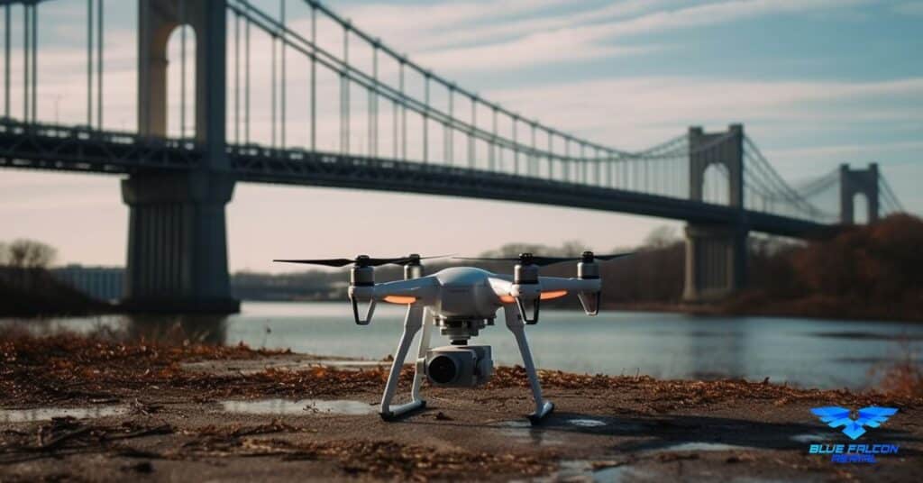
Bridge Inspections
Bridge inspections are essential for ensuring the safety and longevity of these critical structures. Drone-based LiDAR can quickly and accurately assess the condition of bridges, identifying potential issues such as corrosion, cracks, or structural deformations. This allows engineers to prioritize maintenance and repair efforts, ultimately enhancing the safety of our transportation systems.
Power Line and Utility Inspections
LiDAR technology can be used to inspect power lines, utility poles, and other energy infrastructure components. By generating detailed, accurate data, drone-based LiDAR can help identify potential hazards, such as vegetation encroachment or damaged equipment, before they lead to more significant issues, such as power outages or system failures.
Railway and Transportation Systems
Maintaining the safety and efficiency of our railway and transportation systems is crucial. Drone LiDAR can be used to inspect tracks, tunnels, and other transportation infrastructure components, helping to identify potential problems such as track deformations, landslides, or other obstructions. By addressing these issues proactively, transportation agencies can minimize disruptions and ensure the continued reliability of their systems.
Dam and Levee Monitoring
Dams and levees play a vital role in flood control and water management. Drone-based LiDAR can be used to monitor the condition of these structures, providing detailed information on their stability and integrity. By identifying potential issues early on, engineers can take the necessary steps to address any concerns and maintain the safety of these crucial water management systems.
The Future of Drone LiDAR for Infrastructure Inspection
As drone technology and LiDAR systems continue to advance, their applications in infrastructure inspection will expand and evolve. In the future, we can expect to see even more innovative uses of drone LiDAR for infrastructure inspections, as well as increased integration with other technologies.
Emerging Trends and Advancements
The field of drone LiDAR is constantly evolving, with new advancements and trends shaping the future of infrastructure inspection:
- Higher-resolution data: As LiDAR systems become more advanced, they will generate increasingly detailed and accurate data, allowing for even more precise assessments of infrastructure.
- Artificial intelligence and machine learning: Integration of AI and machine learning algorithms with LiDAR data can streamline data processing and analysis, automating the detection of potential issues and improving overall efficiency.
- Real-time data processing: The development of real-time data processing capabilities will enable instant analysis of LiDAR data, allowing inspectors to identify and address issues more quickly than ever before.
- Increased integration with other remote sensing technologies: Combining drone LiDAR with other remote sensing technologies, such as photogrammetry or infrared imaging, can provide even more comprehensive insights into the condition of infrastructure.
Integration with Other Technologies
Drone LiDAR technology can be further enhanced by integrating it with other innovative technologies and systems, such as:
- Geographic Information Systems (GIS): By incorporating LiDAR data into GIS platforms, infrastructure managers can create detailed, geospatially accurate models of their assets, improving decision-making and planning processes.
- Building Information Modeling (BIM): LiDAR data can be used to create or update BIM models, ensuring that infrastructure managers have the most accurate and up-to-date information about their assets.
- Internet of Things (IoT) and sensor networks: Combining drone LiDAR data with data from IoT sensors and networks can provide a more comprehensive understanding of infrastructure condition and performance, enabling proactive maintenance and repair strategies.
The future of drone LiDAR for infrastructure inspection is full of exciting possibilities. As technology continues to advance and new applications emerge, we can expect drone-based LiDAR systems to play an increasingly vital role in ensuring the safety, efficiency, and longevity of our essential infrastructure.
In summary, drone LiDAR has opened up a new perspective on how we conduct infrastructure inspections. With its ability to improve data collection, enhance safety, and reduce costs, it’s no wonder that LiDAR for infrastructure inspections is quickly becoming the gold standard in the industry. To learn more about the applications and benefits of aerial LiDAR, we encourage you to visit Aerial LiDAR 101: An Introduction to Its Applications and Benefits. If you’re in need of drone services for your infrastructure projects, don’t hesitate to contact Blue Falcon Aerial for expert guidance and support. The future of infrastructure inspection is here, and it’s time to embrace the revolution.