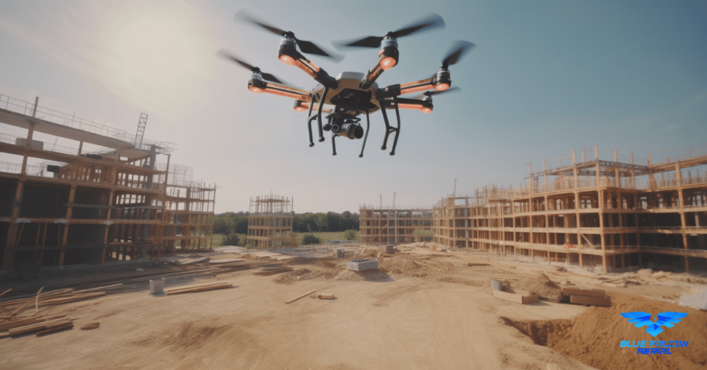
The LiDAR industry has witnessed significant advancements in recent years, with innovative technologies revolutionizing various applications such as surveying, mapping, engineering, mining, and more. Among these innovations, RockR3Pro stands out as a game-changer, offering groundbreaking LiDAR technology that delivers unprecedented accuracy, efficiency, and versatility. This article will explore the cutting-edge features of RockR3Pro’s LiDAR sensor and how it is transforming the industry.
Introducing the RockR3Pro LiDAR Sensor
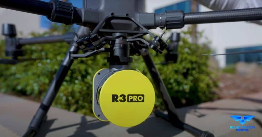
The RockR3Pro LiDAR sensor, developed by ROCK Robotic, is a state-of-the-art surveying tool designed to capture accurate 3D LiDAR and photogrammetry data. With survey-grade accuracy (±3cm), this powerful sensor is perfect for a wide range of applications, including:
- Surveying
- Mapping
- Engineering
- Mining
- Powerline and Utility inspection
- Building Information Modeling (BIM)
- Forestry
Key Features of the RockR3Pro LiDAR Sensor
The RockR3Pro LiDAR sensor boasts several innovative features that set it apart from other LiDAR sensors in the market:
- Hesai Pandar XT32 Sensor: The RockR3Pro is equipped with the high-performance Hesai Pandar XT32 Sensor, which allows it to capture 1.28 million points per second.
- Triple-band GNSS receiver: This feature ensures accurate positioning and navigation by supporting BDS, GPS, GLONASS, and GALILEO satellite systems.
- 26 MP detachable camera: The high-resolution camera enables users to colorize LiDAR data and produce orthomosaics simultaneously during a single flight.
- Lightweight design: At just 1.20kg (2.6 lbs), the RockR3Pro is lightweight and easy to handle, making it perfect for various applications.
- ROCK Pilot App: This user-friendly app provides mission planning and real-time data, allowing for automatic LiDAR calibration, direct control of the LiDAR from the controller, and easy upload of KML files.
- Seamless drone integration: The RockR3Pro features a Skyport connection for both power and data communication, fixed lever arm for better accuracy, and compatibility with DJI Smart Controllers using the ROCK Pilot App.
Additional Benefits of the RockR3Pro LiDAR Sensor
Beyond its impressive features, the RockR3Pro offers several additional benefits that make it a game-changer in the LiDAR industry:
- PPK-corrected orthophotos: This feature ensures high-precision mapping and surveying results.
- Seamless integration with leading software: The RockR3Pro is compatible with popular processing tools such as DroneDeploy and Pix4D, making data processing efficient and straightforward.
- Handheld 3D mapping: The lightweight handheld SLAM accessory allows for easy indoor and outdoor mapping in GPS-denied environments.
- ROCK Solid Camera Calibration: The RockR3Pro offers pixel-perfect camera calibration and simple recalibration workflows, ensuring optimal performance and accuracy.
- Accuracy reports: The RockR3Pro provides detailed accuracy reports, including a 0.047 ft vertical RMS error (1.4 cm) and a maximum vertical RMS error per RTK GCP of 0.05 ft.
To better understand the advancements brought forth by the RockR3Pro, it’s essential to compare it to its predecessors, the R2A and R360 LiDAR sensors.
RockR3Pro vs. R2A LiDAR Sensor
The R2A LiDAR sensor is an earlier iteration of ROCK Robotic’s LiDAR technology. While it offers several advantages for surveying and mapping applications, the RockR3Pro outperforms it in various aspects:
- Higher point capture rate: The RockR3Pro captures 1.28 million points per second, compared to the R2A’s 0.64 million points per second, resulting in more detailed and accurate data.
- Increased payload capacity: The RockR3Pro’s lightweight design allows it to carry heavier and more advanced sensors and cameras, making it more versatile for various applications.
- Improved GNSS receiver: The RockR3Pro features a triple-band GNSS receiver, providing superior positioning accuracy compared to the R2A’s dual-band GNSS receiver.
RockR3Pro vs. R360 LiDAR Sensor
The R360 LiDAR sensor is another offering from ROCK Robotic that targets a wide range of professional applications. While it shares some similarities with the RockR3Pro, the latter offers several enhancements:
- Greater point capture rate: The RockR3Pro captures 1.28 million points per second, while the R360 captures 1.08 million points per second, ensuring more detailed and accurate data collection.
- Lighter weight: The RockR3Pro weighs 1.20kg (2.6 lbs), making it 30% lighter than the R360. This reduced weight results in increased flight times and improved maneuverability.
- Advanced camera calibration: The RockR3Pro features ROCK Solid Camera Calibration, ensuring pixel-perfect calibration and a simple recalibration workflow for optimal performance.
In conclusion, the RockR3Pro is a significant leap forward in LiDAR technology, outperforming its predecessors, the R2A and R360, in various aspects. Its superior features, accuracy, and versatility make it an indispensable tool for professionals across multiple industries. Follow this link to go to the full RockR3Pro Spec sheet and find out how to get one yourself.
If you’re interested in learning more about the applications and benefits of aerial LiDAR, we encourage you to visit Aerial LiDAR 101: An Introduction to its Applications and Benefits.
For any drone services or inquiries, don’t hesitate to contact Blue Falcon Aerial, where our team of experts will be happy to assist you in achieving your project goals.