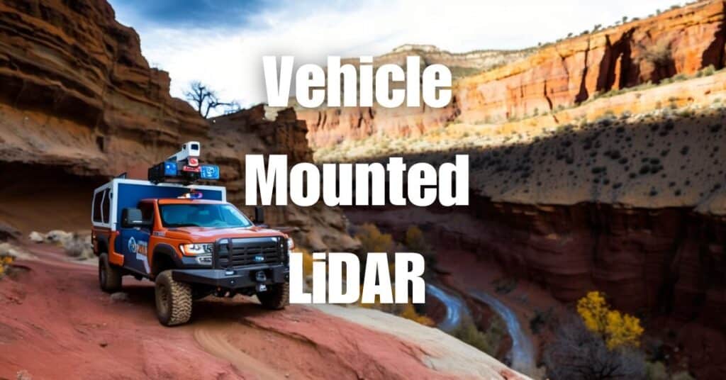
Welcome to the world of surveying revolutionized by Vehicle-Mounted LiDAR! This game-changing technology is transforming the way we collect and analyze spatial data, making it faster, more accurate, and safer than ever before. In this article, we’ll dive into the numerous benefits of Vehicle-Mounted LiDAR and explore its wide range of applications across various industries. So, buckle up and get ready to discover the future of surveying!
What is Vehicle-Mounted LiDAR?
Definition of LiDAR
LiDAR, or Light Detection and Ranging, is a remote sensing technology that uses laser light to measure distances and create detailed, three-dimensional representations of the Earth’s surface. By emitting laser pulses and measuring the time it takes for the light to travel back to the sensor after reflecting off objects, LiDAR can generate accurate and precise spatial data.
How Vehicle-Mounted LiDAR works
Vehicle-Mounted LiDAR systems consist of a LiDAR sensor mounted on a moving vehicle, such as a car or a truck. These systems can capture high-resolution data as the vehicle drives along roads or other terrains. The data is then processed and analyzed to create detailed 3D models and maps, which can be used in various applications, from surveying and infrastructure planning to environmental monitoring.
The Advantages of Vehicle-Mounted LiDAR
Efficiency and speed
One of the primary benefits of Vehicle-Mounted LiDAR is its efficiency and speed in data collection. Since the LiDAR system is mounted on a moving vehicle, it can cover large areas quickly and continuously, significantly reducing the time and effort required for surveying and mapping projects.
Data accuracy
Vehicle-Mounted LiDAR systems provide highly accurate and detailed data, allowing for precise measurements and detailed 3D models. The technology’s ability to penetrate vegetation and capture data even in challenging environments ensures that the information collected is both reliable and comprehensive.
Flexibility and adaptability
The mobility of Vehicle-Mounted LiDAR systems makes them highly adaptable to various terrains and environments. They can be easily deployed in urban areas, along highways, or in remote locations, making them a versatile solution for a wide range of surveying and mapping projects.
Safety improvements
Traditional surveying methods often require personnel to work in hazardous conditions or near busy roads, putting them at risk of accidents. Vehicle-Mounted LiDAR eliminates these risks by allowing data collection from a safe distance, reducing the need for surveyors to work in dangerous environments.
Applications of Vehicle-Mounted LiDAR
Road and infrastructure mapping
Vehicle-Mounted LiDAR is an invaluable tool for road and infrastructure mapping, as it enables the efficient and accurate collection of data on road conditions, bridges, and other structures. This information is essential for planning, maintenance, and asset management.
Urban planning and development
Urban planners can use the detailed 3D models generated by Vehicle-Mounted LiDAR to analyze and visualize city landscapes, helping them make informed decisions about land use, zoning, and development projects.
Environmental monitoring
Vehicle-Mounted LiDAR is also beneficial for environmental monitoring, as it can capture data on vegetation, water bodies, and other natural features. This information can be used to assess the impacts of human activities, monitor changes in ecosystems, and develop conservation strategies.
Emergency response and disaster management
In the aftermath of natural disasters or other emergencies, Vehicle-Mounted LiDAR can quickly gather data on damaged infrastructure and affected areas, enabling faster and more informed decision-making for emergency response and recovery efforts.
Comparing Vehicle-Mounted LiDAR to Other Surveying Methods
Aerial LiDAR
Aerial LiDAR involves mounting LiDAR sensors on aircraft or drones. While this method can cover large areas quickly and provide high-resolution data, it can be more expensive and logistically complex than Vehicle-Mounted LiDAR. Additionally, aerial LiDAR may be subject to airspace restrictions and weather limitations that can impact data collection.
Ground-based Surveying
Traditional ground-based surveying methods, such as total stations and GPS, can be time-consuming and labor-intensive, particularly when surveying large or difficult-to-access areas. Although these methods can provide accurate data, they are generally slower and less efficient than Vehicle-Mounted LiDAR. Furthermore, ground-based surveying often requires surveyors to work in hazardous conditions, posing safety concerns.
The Future of Vehicle-Mounted LiDAR Technology
As technology continues to advance, the potential applications and benefits of Vehicle-Mounted LiDAR will only grow. Developments in sensor technology, data processing, and artificial intelligence are expected to further enhance the accuracy, efficiency, and capabilities of Vehicle-Mounted LiDAR systems.
In the future, we may see increased integration of Vehicle-Mounted LiDAR with other technologies, such as autonomous vehicles and smart city infrastructure, enabling even more innovative uses and benefits. Moreover, as the cost of LiDAR sensors decreases and the technology becomes more accessible, it is anticipated that Vehicle-Mounted LiDAR will become an increasingly common tool in surveying, mapping, and other spatial data applications.
In conclusion, Vehicle-Mounted LiDAR is truly revolutionizing the surveying industry with its numerous benefits and versatile applications. The technology’s speed, efficiency, accuracy, and safety improvements make it an essential tool for a wide array of projects, from road and infrastructure mapping to urban planning and environmental monitoring.
If you’re interested in learning more about LiDAR technology and its applications, we recommend visiting Aerial LiDAR 101: An Introduction to its Applications and Benefits to further expand your knowledge.
When it comes to professional drone services, Blue Falcon Aerial is your go-to partner. If you require any drone services, don’t hesitate to contact us and let our team of experts help you achieve your goals.