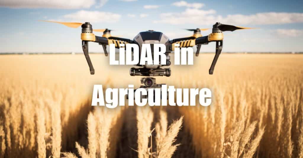
The rapid advancements in technology are revolutionizing various industries, and agriculture is no exception. One such transformative technology is LiDAR (Light Detection and Ranging), which is playing an increasingly critical role in modern farming practices. By leveraging the power of LiDAR in agriculture, farmers can make more informed decisions, optimize resource usage, and maximize crop yields. In this article, we will explore the numerous applications, benefits, and challenges associated with the implementation of LiDAR technology in agriculture.
Overview of LiDAR Technology
Definition of LiDAR
LiDAR, which stands for Light Detection and Ranging, is a remote sensing technology that uses laser light to measure distances and create detailed, accurate maps of the Earth’s surface. LiDAR systems emit pulses of laser light and measure the time it takes for the emitted light to return after bouncing off objects, such as vegetation, buildings, and the ground. By calculating the time it takes for the light to travel to and from the target, the distance can be accurately determined, allowing for the creation of precise, high-resolution 3D maps and models.
How LiDAR Works
A LiDAR system typically consists of a laser source, a sensor, a GPS receiver, and an Inertial Measurement Unit (IMU). The laser source emits pulses of light, which then travel towards the target. As the light hits the target, it is reflected and travels back to the LiDAR sensor, which records the time taken for the light pulse to make the round trip.
The GPS receiver and IMU work in conjunction to provide accurate positional and orientation data, enabling the LiDAR system to calculate the precise location of each measured point. Combining this information, the LiDAR system generates a point cloud, which is a collection of individual points representing the 3D structure of the target area. This point cloud can then be processed and analyzed to create detailed maps, models, and insights.
Components of a LiDAR System
- Laser Source: The laser source emits pulses of light at specific wavelengths. The most common types of lasers used in LiDAR systems are solid-state lasers, fiber lasers, and semiconductor lasers.
- Sensor: The sensor is responsible for detecting the reflected light pulses and converting them into electrical signals, which are then used to calculate the distance between the sensor and the target.
- GPS Receiver: The GPS receiver provides accurate geolocation data by receiving signals from GPS satellites. This information is essential for determining the exact position of the LiDAR system.
- Inertial Measurement Unit (IMU): The IMU is a device that measures the LiDAR system’s orientation, acceleration, and angular velocity, enabling the system to accurately calculate the position of each measured point.
Applications of LiDAR in Agriculture
Precision Agriculture
LiDAR technology is a game-changer in the field of precision agriculture, enabling farmers to optimize their crop management practices based on detailed, accurate data. By using LiDAR-generated maps and models, farmers can better understand the topography of their fields, identify variations in soil conditions, and pinpoint areas that require special attention. This information can be used to tailor farming practices, such as variable rate seeding and fertilization, ensuring that resources are allocated efficiently and sustainably.
Crop Health Monitoring
LiDAR can be used to assess and monitor crop health by measuring various vegetation indices, such as plant height, canopy density, and biomass. By analyzing this data, farmers can identify areas of stress or disease within their fields and take targeted action to address these issues. Additionally, LiDAR can help farmers track the progress of their crops over time, allowing them to make informed decisions regarding crop rotation, irrigation, and pest management.
Irrigation Management
Effective irrigation management is crucial for maximizing crop yields and minimizing water waste. LiDAR-generated topographical maps can help farmers identify areas of their fields that require different levels of irrigation, enabling them to implement precise and efficient water distribution strategies. By optimizing irrigation practices based on LiDAR data, farmers can reduce water consumption, lower energy costs, and minimize the environmental impact of their operations.
Soil Analysis
Understanding soil characteristics is essential for effective agricultural management. LiDAR technology can be used to create high-resolution topographical maps that reveal subtle variations in soil properties across a field. This information allows farmers to assess soil fertility, drainage patterns, and compaction levels, helping them make informed decisions regarding tillage, fertilization, and crop selection.
Pest and Disease Detection
Early detection and management of pests and diseases are critical to maintaining healthy crops and maximizing yields. LiDAR can be used in combination with other remote sensing technologies, such as multispectral and hyperspectral imaging, to identify areas of a field that show signs of pest infestation or disease. By detecting these issues early, farmers can implement targeted interventions to minimize crop damage and reduce the need for extensive pesticide use.
Yield Estimation
Accurate yield estimation is essential for effective farm management and planning. LiDAR can be used to estimate crop yields by measuring various crop parameters, such as plant height, canopy density, and biomass. By analyzing this data, farmers can gain insights into the expected productivity of their fields and make informed decisions regarding harvesting, storage, and marketing strategies.
Challenges and Limitations of LiDAR in Agriculture
Cost and Accessibility
One of the primary challenges of implementing LiDAR technology in agriculture is the cost. LiDAR systems, especially those mounted on manned aircraft, can be expensive to acquire and operate. Although the cost of LiDAR systems has decreased over the years, it may still be prohibitive for some small-scale farmers. However, the emergence of more affordable options, such as drone-mounted LiDAR systems, is helping to make this technology more accessible to a wider range of farmers.
Data Processing and Analysis
The large volume of data generated by LiDAR systems can pose challenges in terms of processing and analysis. Farmers and agronomists need specialized software and expertise to convert raw LiDAR data into actionable insights. While there are many tools and platforms available for processing LiDAR data, there is still a learning curve associated with their use, and farmers may require training or support from professionals to fully harness the potential of LiDAR-derived insights.
Environmental Factors
LiDAR technology can be affected by various environmental factors, such as atmospheric conditions, vegetation density, and surface reflectivity. For example, rain, fog, or high levels of dust in the air can attenuate the laser pulses, reducing the accuracy and resolution of the data. Additionally, dense vegetation or highly reflective surfaces can cause multiple reflections, making it challenging to accurately determine the distance between the sensor and the target. These factors need to be considered when deploying LiDAR systems in agricultural settings.
Future Outlook and Opportunities for LiDAR in Agriculture
Despite the challenges and limitations associated with LiDAR technology, its potential to revolutionize agriculture is undeniable. As the technology continues to evolve, new opportunities and applications are likely to emerge. Some promising future developments include:
Integration with Other Technologies
The integration of LiDAR with other remote sensing technologies, such as multispectral and hyperspectral imaging, can provide a more comprehensive view of agricultural landscapes. Combining these technologies can help farmers better understand the complex interactions between crops, soil, water, and other environmental factors, enabling them to make more informed decisions about their farming practices.
Autonomous Farming Equipment
The development of autonomous farming equipment, such as self-driving tractors and drones, offers exciting possibilities for the integration of LiDAR technology. By equipping these vehicles with LiDAR systems, farmers can automate various agricultural tasks, such as seeding, fertilization, and harvesting, while simultaneously collecting valuable data about their fields.
Artificial Intelligence and Machine Learning
Advancements in artificial intelligence (AI) and machine learning have the potential to significantly enhance the processing and analysis of LiDAR data. By leveraging these technologies, farmers can more easily extract actionable insights from their LiDAR data, streamlining their decision-making processes and improving the efficiency of their operations.
In summary, LiDAR technology is revolutionizing the agricultural industry by providing farmers with valuable data and insights that can help them optimize their operations, improve resource management, and enhance crop productivity. As LiDAR technology continues to advance, its applications in agriculture are expected to expand, offering even more opportunities for farmers to harness the power of this cutting-edge technology.
In conclusion, LiDAR technology is transforming the agricultural landscape by providing farmers with valuable insights and tools to optimize their operations. From precision agriculture and crop health monitoring to irrigation management and soil analysis, LiDAR is helping farmers make data-driven decisions that ultimately lead to increased productivity, enhanced resource management, and improved profitability. However, challenges such as high initial investment and data processing complexities must be addressed to fully harness the potential of LiDAR in agriculture.
To learn more about LiDAR and its diverse applications, we encourage you to visit Aerial LiDAR 101: An Introduction to its Applications and Benefits. If you require drone services for your agricultural needs, please do not hesitate to contact Blue Falcon Aerial for expert guidance and assistance.