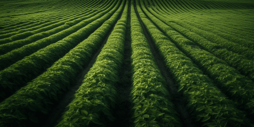
The agricultural industry is continuously evolving, driven by the need to feed a growing global population and adapt to changing environmental conditions. Aerial precision agriculture, which uses remote sensing technology to optimize farm management practices, is at the forefront of this evolution. In this article, we will explore how remote sensing is transforming the way farmers approach agriculture and the benefits this technology offers in terms of efficiency, sustainability, and profitability.
Remote Sensing in Aerial Precision Agriculture
1. High-Resolution Imagery for Crop Monitoring
One of the primary applications of remote sensing in aerial precision agriculture is crop monitoring. Drones equipped with advanced sensors can capture high-resolution images of crops, providing detailed information about their health, growth, and productivity. This real-time data allows farmers to identify and address issues such as nutrient deficiencies, pest infestations, and disease outbreaks, ultimately leading to improved crop yields and reduced losses.
2. Multispectral and Hyperspectral Imaging
Remote sensing technology goes beyond traditional visible-light imaging. Multispectral and hyperspectral sensors can capture data across a broad range of wavelengths, providing valuable insights into plant health and crop conditions that are invisible to the naked eye. For example, by analyzing the reflectance of specific wavelengths, farmers can determine the chlorophyll content of their crops, which is a key indicator of plant health and productivity.
3. Soil Analysis and Mapping
Soil quality is a critical factor in agricultural success, influencing crop growth, nutrient availability, and water retention. Remote sensing technology allows for detailed soil analysis, with sensors capable of measuring parameters such as moisture content, organic matter levels, and nutrient concentrations. By combining this data with geographic information systems (GIS), farmers can create detailed soil maps to guide planting decisions and optimize nutrient management strategies.
4. Irrigation Management
Efficient water management is essential for sustainable agriculture, particularly in regions facing water scarcity. Remote sensing technology can help farmers monitor soil moisture levels, identify areas of water stress, and optimize irrigation scheduling. This information enables farmers to make data-driven decisions about when and where to apply water, ultimately reducing water waste and improving crop health.
5. Yield Prediction and Harvest Planning
Accurate yield prediction is essential for effective farm management, as it influences decisions related to storage, marketing, and financial planning. Remote sensing technology can provide farmers with valuable data on crop growth and development, enabling them to predict yields with greater accuracy than traditional methods. This information can also be used to optimize harvest planning, ensuring that crops are harvested at their peak quality and minimizing post-harvest losses.
The Future of Remote Sensing in Aerial Precision Agriculture
As remote sensing technology continues to advance, we can expect further innovations in aerial precision agriculture. Machine learning algorithms and artificial intelligence will play an increasingly significant role in data analysis, offering more accurate and actionable insights for farmers. Additionally, the integration of remote sensing data with other digital farming tools, such as farm management software and IoT devices, will enable the development of even more efficient and sustainable agricultural practices.
Conclusion
In conclusion, remote sensing technology is paving the way for a new era in agriculture, offering invaluable insights into crop health, soil conditions, and resource management. By incorporating remote sensing in aerial precision agriculture, farmers have the opportunity to optimize their operations, reduce costs, and ultimately improve the sustainability and profitability of their farms.
To delve deeper into the fascinating world of drones and their applications in agriculture, don’t miss the chance to visit Soaring High: A Comprehensive Guide to Building and Growing Your Drone Business. This resource offers valuable insights into how you can leverage the power of remote sensing to elevate your farming practices and stay ahead in an increasingly competitive market.
If you’re interested in professional drone services or looking to explore the potential of remote sensing for your farm, don’t hesitate to reach out to Blue Falcon Aerial. You can contact us through our contact page to discuss your specific needs and discover the best solutions to help your farm thrive in the modern agricultural landscape.