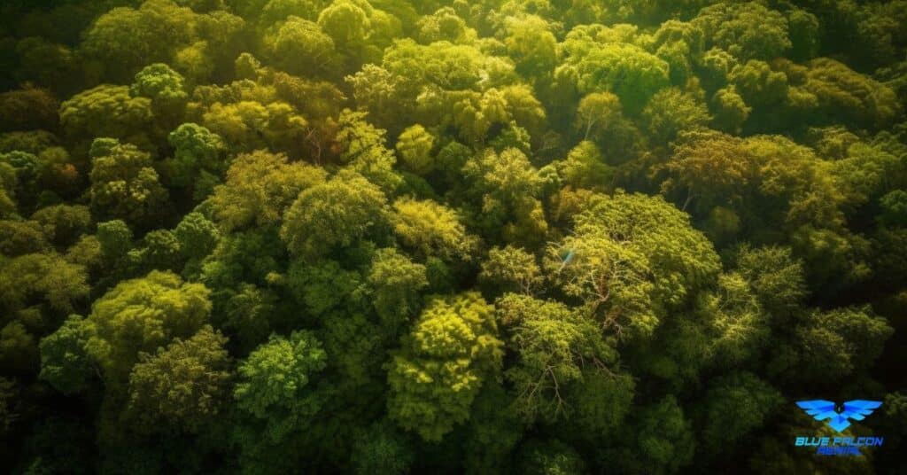
Biomass estimation is a crucial aspect of forest management, as it provides valuable information on the amount of carbon stored in forests and aids in understanding the overall health of an ecosystem. LiDAR technology has emerged as a powerful tool for biomass estimation, offering significant advantages over traditional methods. In this article, we will explore the benefits of using LiDAR for biomass estimation and how it can revolutionize forest management practices.
What is LiDAR?
Light Detection and Ranging (LiDAR) is a remote sensing technology that uses lasers to measure distances and create detailed, accurate three-dimensional representations of the environment. By emitting laser pulses and measuring the time it takes for the light to bounce back from various surfaces, LiDAR systems can produce high-resolution data on the structure and composition of forests.
Benefits of Using LiDAR for Biomass Estimation
High Accuracy and Precision
LiDAR provides highly accurate and precise data on forest structure and composition, which is essential for accurate biomass estimation. By capturing the vertical distribution of vegetation, LiDAR can provide detailed information on tree height, canopy density, and understory vegetation, all of which contribute to a more accurate estimation of biomass.
Large-Scale Data Collection
Traditional methods of biomass estimation, such as field surveys and manual measurements, are time-consuming and labor-intensive. LiDAR technology enables large-scale data collection, allowing for more comprehensive assessments of forest biomass over vast areas. This is particularly useful for monitoring and managing forests on a regional or national scale.
Rapid Data Processing
LiDAR data can be quickly processed and analyzed, providing timely information for forest managers and researchers. This rapid data processing allows for more frequent assessments of forest biomass and can help identify changes in forest structure or composition more efficiently than traditional methods.
Reduced Impact on the Environment
Unlike field surveys, which can be disruptive to ecosystems and wildlife, LiDAR data collection has minimal impact on the environment. By using drones or airplanes equipped with LiDAR sensors, researchers can gather data without disturbing the natural habitat, reducing the overall environmental footprint of biomass estimation efforts.
Applications of LiDAR for Biomass Estimation
Carbon Sequestration and Climate Change Research
Accurate biomass estimation is essential for understanding the role of forests in carbon sequestration and their potential contribution to mitigating climate change. LiDAR technology can help quantify the amount of carbon stored in forests, providing valuable data for climate change research and informing forest management practices to promote carbon sequestration.
Sustainable Forest Management
LiDAR data can be used to inform sustainable forest management practices by providing accurate information on forest structure and composition. This can help guide decisions related to timber harvesting, reforestation, and conservation efforts, ensuring the long-term health and productivity of forests.
Biodiversity Conservation
Understanding the distribution and abundance of biomass in forests is essential for the conservation of biodiversity. LiDAR technology can help identify areas with high biodiversity value, such as old-growth forests, and inform conservation strategies to protect these important ecosystems.
Monitoring and Assessment of Forest Health
LiDAR data can help monitor and assess the health of forests by identifying changes in forest structure or composition, such as those caused by pests, diseases, or natural disturbances like fire or storms. This information can be used to guide forest management actions to mitigate the impacts of these disturbances and maintain the health and resilience of forests.
Conclusion
LiDAR technology holds the potential to revolutionize the field of biomass estimation, offering a significant edge over traditional methods in terms of accuracy, efficiency, and minimal environmental impact. By leveraging the power of LiDAR for biomass estimation, we can enhance our understanding of forest ecosystems, support sustainable forest management practices, and contribute to global efforts in climate change mitigation and biodiversity conservation.
If you are interested in learning more about the potential of drone technology and how it can be utilized for LiDAR-based applications, don’t miss our comprehensive guide: Soaring High: A Comprehensive Guide to Building and Growing Your Drone Business.
Should you require assistance with a LiDAR or orthomosaic project, or if you have any questions, please contact Blue Falcon Aerial at https://www.bluefalconaerial.com/home/contact/.


