Introduction: Revolutionizing the World of GNSS
In today’s fast-paced world, it’s essential to have access to cutting-edge technology, especially when it comes to GNSS base stations. Among numerous options, the Emlid Reach RS2+ stands out as the ultimate GNSS base station, providing unparalleled accuracy and reliability. In this article, we will explore the top 7 reasons why the Emlid Reach RS2+ is the go-to choice for professionals in surveying, mapping, and various other industries.
1. High-precision Positioning
The Emlid Reach RS2+ offers multi-band GNSS technology, providing users with centimeter-level accuracy in real-time. This exceptional precision is crucial for tasks like cadastral surveying, construction site management, and infrastructure monitoring. By integrating GPS, GLONASS, Galileo, BeiDou, QZSS, and SBAS satellites, the Emlid Reach RS2+ guarantees an uncompromised level of accuracy.
2. Extended Battery Life
With a battery life of up to 22 hours, the Emlid Reach RS2+ ensures uninterrupted operation throughout the day, even in the most demanding environments. This extended battery life allows users to complete their tasks without worrying about the device’s performance, significantly enhancing productivity and efficiency.
3. Robust and Durable Design
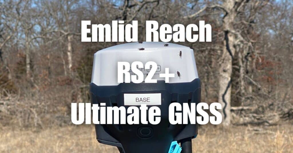
The Emlid Reach RS2+ features an IP67-rated enclosure, making it dustproof and waterproof, capable of withstanding harsh weather conditions. This rugged design ensures that the base station remains operational in various challenging environments, from construction sites to remote locations, enabling users to work with confidence.
4. Effortless Data Collection and Integration
The Emlid Reach RS2+ is designed with user-friendly data collection and integration in mind. With a built-in LoRa radio, it can connect to various rover units, streamlining the data collection process. The device also supports NTRIP corrections, enabling seamless integration into existing RTK networks. Moreover, it can easily connect to smartphones, tablets, or laptops via Bluetooth, Wi-Fi, or USB, simplifying data transfer and management.
5. Comprehensive Software Support
The Emlid Reach RS2+ comes with the powerful ReachView 3 app, which offers an intuitive interface for configuring and managing the base station. The app provides features like stakeout, point collection, and coordinate system transformation, significantly enhancing the user experience. Additionally, the Emlid Reach RS2+ is compatible with various third-party software, offering flexibility and adaptability for different industry requirements.
6. Cost-effective Solution
The Emlid Reach RS2+ offers a combination of high-performance, durability, and user-friendly features at a competitive price point. This cost-effective solution makes it an attractive choice for professionals looking to invest in a GNSS base station that delivers exceptional results without breaking the bank.
7. Exceptional Customer Support
Emlid’s commitment to providing top-notch customer support is another reason to choose the Reach RS2+ as your GNSS base station. The company offers comprehensive documentation, tutorials, and a responsive support team, ensuring that users have access to the resources they need to succeed in their projects.
Conclusion: Experience the Emlid Reach RS2+ Advantage
In summary, the Emlid Reach RS2+ is the ideal GNSS base station for professionals in various industries, thanks to its impressive array of features. With high-precision positioning, long-lasting battery life, a robust design, seamless data collection and integration, extensive software support, cost-effectiveness, and outstanding customer support, the Emlid Reach RS2+ is truly the ultimate choice for your GNSS needs.
To broaden your understanding of related technologies and applications, we highly recommend visiting https://www.bluefalconaerial.com/ultimate-guide-to-drone-photogrammetry-and-orthomosaics/. This comprehensive guide provides valuable insights into drone photogrammetry and orthomosaics, which are closely related to the use of GNSS base stations.
If you have a LiDAR or Orthomosaic project that you need assistance with, don’t hesitate to contact Blue Falcon Aerial. As a nationwide service provider, they are well-equipped to handle your project requirements, delivering exceptional results. Reach out to them for a seamless, professional experience that caters to your specific needs.