Where efficiency and precision dictate the pace of business growth, custom drone mapping emerges as a beacon of innovation, offering solutions that transcend conventional boundaries. By leveraging the aerial prowess of drones, businesses can now access unprecedented levels of detail and insight into their operations, landscapes, and assets. This article delves into how custom drone mapping is not just enhancing, but revolutionizing business efficiency across various industries, paving the way for smarter, faster, and more cost-effective decision-making processes.
Key Takeaways
- Custom drone mapping solutions offer unparalleled precision and detail in data collection, significantly enhancing business decision-making processes.
- These solutions provide time and cost efficiency by covering vast areas quickly, reducing the need for manual surveys, and minimizing operational costs.
- Versatility across industries, including agriculture, construction, real estate, and environmental monitoring, showcases the adaptability of drone mapping to various business needs.
- Core technologies like photogrammetry, orthomosaics, multispectral analysis, and thermal analysis unlock new insights and applications, from detailed 3D models to identifying plant health and thermal variances.
- Implementing drone mapping requires understanding your specific business needs, selecting the appropriate drones and sensors, and investing in professional training and support.
- Blue Falcon Aerial supports businesses through detailed needs assessments, custom SOP development, equipment selection guidance, professional training, and transforming data into actionable insights.

The Advantages of Custom Drone Mapping
Custom drone mapping offers a suite of benefits that can transform the way businesses operate, gather data, and make decisions. Its adoption across various industries is not just a trend but a testament to its significant impact on operational efficiency and strategic planning.
Precision and Detail in Data Collection
Custom drone mapping stands out for its ability to capture high-resolution imagery and detailed geographical data. This level of detail is crucial for accurate analysis and decision-making, allowing businesses to see the minutiae of their operations, assets, and projects.
Time and Cost Efficiency
By employing drones for mapping tasks, businesses can significantly reduce the time and resources traditionally required for data collection. Drones can cover vast areas in a fraction of the time, eliminating the need for manual surveys and reducing operational costs.
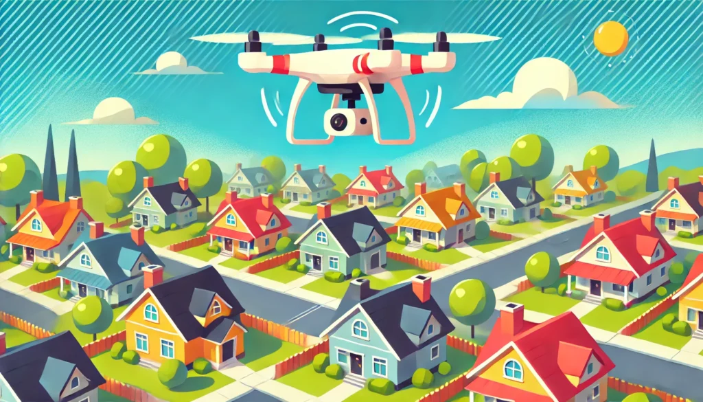
Versatility Across Industries
Drone mapping’s adaptability is evident in its wide range of applications across various sectors:
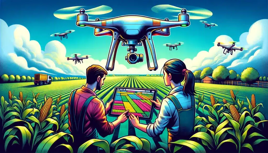
- Agriculture: for monitoring crop health and optimizing farm management.
- Construction: to track project progress and manage resources efficiently.
- Real Estate: offering aerial views for property marketing.
- Environmental Monitoring: assessing changes in landscapes and ecosystems.
Core Technologies in Custom Drone Mapping
The effectiveness of drone mapping is powered by several core technologies, each contributing to the detailed, comprehensive insights that businesses can leverage.
Photogrammetry: The Foundation of Drone Mapping
Photogrammetry is a technique that uses photography to measure distances between objects. In drone mapping, it enables the creation of maps and 3D models from drone-captured images, providing a detailed view of the surveyed area.
Orthomosaics: Creating Detailed, Bird’s-Eye View Maps
Orthomosaics are large, map-quality images made by merging several smaller photos. They offer a highly detailed, up-to-date view of a landscape, making them invaluable for planning, analysis, and monitoring changes over time.
Multispectral Analysis: Unlocking Insights Through Different Light Spectrums
This technology captures data beyond what the human eye can see, using various light spectrums to reveal hidden aspects of the environment. It’s particularly useful in agriculture for assessing plant health and in environmental studies.
Thermal Analysis: Identifying Heat Variances for Diverse Applications
Thermal cameras on drones can detect heat sources and variances, useful in various fields such as search and rescue, energy auditing, and surveillance. This analysis can identify inefficiencies or anomalies not visible to the naked eye.
Implementing Drone Mapping in Your Business
The integration of drone mapping into your business operations requires careful planning and consideration. This section covers the initial steps and considerations for businesses looking to adopt drone technology effectively.
Initial Considerations: Understanding Your Needs
Before diving into drone mapping, it’s crucial to understand your specific business needs and how drone technology can meet them. Consider what data you need to collect, the scale of your operations, and the outcomes you aim to achieve through drone mapping. This initial assessment will guide the selection of the right drones, sensors, and support services.
Selecting the Right Drone and Sensors
The selection of drones and sensors is pivotal to the success of your drone mapping initiatives. Different drones offer various capabilities, such as flight time, payload capacity, and resistance to environmental conditions. Similarly, sensors vary based on the type of data they collect, from high-resolution visual imagery to thermal and multispectral data.
| Drone Feature | Consideration |
|---|---|
| Flight Time | Longer flight times allow for more extensive surveys in a single flight. |
| Payload Capacity | Determines the weight and size of sensors the drone can carry. |
| Durability | Essential for operations in challenging environmental conditions. |
| Sensor Type | Application |
|---|---|
| High-Resolution Cameras | Ideal for capturing detailed imagery for photogrammetry. |
| Multispectral Sensors | Used in agriculture to assess plant health and in environmental monitoring. |
| Thermal Cameras | Useful in search and rescue, energy audits, and detecting thermal inefficiencies. |
The Importance of Professional Training and Support
Professional training ensures that your team can safely and effectively operate drone technology and analyze the collected data. Support from experienced professionals can help troubleshoot issues, update SOPs, and adapt operations as your business and drone technology evolve.
Blue Falcon Aerial’s Comprehensive Services
Blue Falcon Aerial offers a holistic suite of services designed to support businesses at every stage of drone technology integration.
Detailed Needs Assessment
We start by thoroughly understanding your current operations, challenges, and objectives. This enables us to identify the most impactful ways to integrate drone technology into your business.
Custom SOP Development
Leveraging our extensive experience, we create a custom Standard Operating Procedure (SOP) that outlines how drone operations will be integrated into your business, ensuring alignment with your specific needs.
Equipment Selection Guidance
Our experts provide guidance on selecting the right drones and sensors to fit your operational requirements and budget, ensuring you get the most value from your investment.
Professional Training and Support
Beyond technology implementation, we offer expert training to empower your team as proficient drone operators. Our commitment extends to ongoing support, ensuring the long-term success of your drone initiatives.
Transforming Data into Actionable Insights
Our services culminate in transforming the raw data collected by drones into actionable insights. We process and analyze the data to create comprehensive reports, maps, and models that support better business decisions, driving growth and efficiency.

As we’ve explored, the integration of custom drone mapping into business operations offers a transformative leap towards operational excellence and efficiency. From the precision of photogrammetry and the clarity of orthomosaics to the depth of multispectral and thermal analysis, the potential to elevate your business’s operational capabilities is immense.
Blue Falcon Aerial stands at the forefront of this technological revolution, ready to guide your business through the seamless integration of drone technology. With our comprehensive suite of services, including detailed needs assessments, custom SOP development, equipment selection guidance, and professional training and support, we are dedicated to transforming your data into actionable insights that drive better business decisions.
If you’re ready to explore the boundless possibilities that custom drone mapping holds for your business, we invite you to discover how Blue Falcon Aerial can make it happen. For a more tailored approach to integrating drones into your operations, contact us today. Let us help you elevate your business efficiency to new heights.