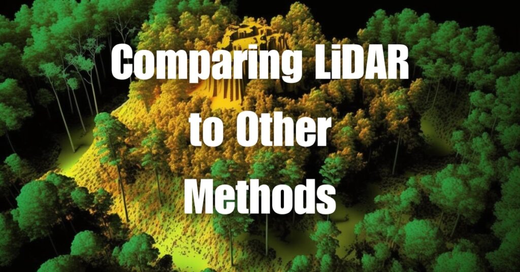
The world of surveying has undergone a remarkable transformation, evolving from traditional ground-based methods to advanced aerial technologies. At the forefront of this evolution is Aerial LiDAR (Light Detection and Ranging), a method that has revolutionized how we capture and interpret data from our environment. This article embarks on an insightful journey, comparing LiDAR to other surveying methods, unraveling the nuances that make Aerial LiDAR a game-changing tool in the surveying landscape.
Key Takeaways
- Aerial LiDAR offers unparalleled accuracy and efficiency in surveying, surpassing traditional methods, especially in mapping complex terrains and large areas.
- While Aerial LiDAR involves higher initial costs, it proves to be more cost-effective for large-scale projects due to its rapid data collection capabilities.
- Aerial LiDAR requires minimal physical access, making it ideal for surveying inaccessible or dangerous areas, significantly reducing the risk associated with traditional ground-based surveying methods.
- In urban planning and infrastructure development, Aerial LiDAR facilitates precise planning and risk reduction in structural design, a task challenging for traditional surveying methods.
- For archaeological exploration, LiDAR enables non-intrusive and detailed mapping of ancient ruins, avoiding the risk of damaging unexplored sites inherent in traditional surveying.
- In disaster management, Aerial LiDAR swiftly assesses terrain and infrastructure impact, aiding in safer and more efficient response planning compared to slower and riskier ground surveys.
- The future of surveying is leaning towards technology-driven solutions like Aerial LiDAR, with predictions of increased use, improved technology, and integration with other advanced technologies like AI.

Understanding Aerial LiDAR
Aerial LiDAR, standing for Light Detection and Ranging, has become a cornerstone technology in modern surveying. It operates by emitting laser pulses towards the ground from an aerial platform, typically a drone or aircraft, and measuring the time it takes for the reflections to return. This process creates highly accurate 3D representations of the surveyed area.
How Aerial LiDAR Works
- Laser Emission: LiDAR systems emit rapid laser pulses.
- Reflection Measurement: The time for each pulse to bounce back is measured.
- Data Processing: The reflection times are translated into distance measurements, creating detailed topographical maps.
Advancements in Surveying
Aerial LiDAR has revolutionized surveying by providing:
- High Accuracy: Offers precise measurements of terrain and features.
- Rapid Data Collection: Covers large areas quickly compared to ground-based methods.
- Versatile Applications: Suitable for various environments, from dense forests to urban landscapes.
Traditional Surveying Methods
Before the advent of Aerial LiDAR, several traditional methods were the backbone of surveying. Each of these methods has its unique characteristics and applications.
Ground Surveying
This method involves surveyors using tools like theodolites and GPS units to measure land directly.
- Direct Measurement: Involves physical measurement of distances and angles.
- Time-Consuming: Often slower, requiring more manpower and time.
- Highly Accurate in Accessible Areas: Offers precision in areas where surveyors can physically reach.
Photogrammetry
Photogrammetry uses photographs, usually taken from aircraft, to measure and map features on the Earth’s surface.
- Image-Based: Relies on analyzing photographic images.
- Wide Area Coverage: Capable of surveying large areas.
- Dependent on Visibility: Requires clear visibility and light conditions.
| Surveying Method | Key Characteristic | Typical Use Case |
|---|---|---|
| Ground Surveying | Direct Measurement | Small-scale, detailed projects |
| Photogrammetry | Image-Based Mapping | Large area mapping with clear visibility |
| Aerial LiDAR | High-Accuracy 3D Mapping | Diverse environments and large-scale projects |
By comparing these methods, it’s evident that each has its own set of strengths and limitations. Aerial LiDAR stands out for its ability to quickly gather high-accuracy data in a variety of environments, a significant advancement over traditional surveying methods.

Comparing Aerial LiDAR to Traditional Methods
The comparison between Aerial LiDAR and traditional surveying methods is crucial to understand their respective advantages and limitations in various contexts.
Accuracy and Efficiency
Aerial LiDAR is renowned for its high accuracy and efficiency. It surpasses traditional methods in mapping complex terrains and large areas.
- LiDAR: Offers precise 3D data, capturing minute details even in challenging terrains.
- Traditional Methods: While accurate, they are often slower and less efficient in extensive or complex areas.
Cost Implications
The cost-effectiveness of a surveying method is a critical consideration for any project.
- LiDAR: Initially more expensive due to the technology used, but cost-effective for large-scale projects due to its speed and data density.
- Traditional Methods: Lower initial cost but may become costlier in labor and time for extensive surveys.
Application Differences
The choice of surveying method depends largely on the project’s specific requirements.
- LiDAR: Ideal for large-scale, complex projects like environmental studies, urban planning, and large infrastructure projects.
- Traditional Methods: Better suited for smaller, more accessible areas or when detailed ground-level data is crucial.
| Aspect | Aerial LiDAR | Traditional Methods |
|---|---|---|
| Accuracy | High | Moderate to High |
| Efficiency | Very High | Moderate |
| Cost | Higher Initial, Lower Overall | Lower Initial, Higher Long-term |
| Best Use | Large, Complex Areas | Small, Accessible Areas |
Pros and Cons of Aerial LiDAR
While Aerial LiDAR stands out for its advanced capabilities, understanding its pros and cons is essential for informed decision-making.
Advantages of Aerial LiDAR
- High Precision: Captures detailed and accurate terrain data.
- Rapid Data Collection: Can survey large areas quickly, saving time.
- Versatility: Effective in various terrains and environmental conditions.
- Minimal Physical Access Required: Ideal for inaccessible or dangerous areas.
Limitations and Challenges
- Cost: The initial investment in LiDAR technology can be significant.
- Technical Expertise Required: Requires skilled professionals for operation and data interpretation.
- Weather Dependent: Performance can be affected by weather conditions like heavy rain or fog.
Understanding these aspects helps in determining the suitability of Aerial LiDAR for specific surveying needs, balancing its advanced capabilities against the project requirements and constraints.

Case Studies and Real-World Applications
Exploring case studies and real-world applications of Aerial LiDAR versus traditional surveying methods provides practical insights into their effectiveness and utility.
Environmental Monitoring
- Aerial LiDAR Use: Used to map a large forest area for conservation purposes.
- Outcome: Provided comprehensive data on tree density, canopy height, and terrain, aiding in effective conservation strategies.
- Traditional Method Comparison: Ground surveying would have been time-consuming and less detailed.
Urban Planning
- Aerial LiDAR Use: Employed to create a detailed 3D model of a city for urban development planning.
- Outcome: Facilitated efficient planning and visualization of future infrastructure projects.
- Traditional Method Comparison: Photogrammetry would have offered less detail and taken longer to cover the same area.
Infrastructure Development
- Aerial LiDAR Use: Applied in the surveying of a large bridge construction project.
- Outcome: Enabled precise measurements of the terrain and existing structures, ensuring accurate construction planning and risk reduction in structural design.
- Traditional Method Comparison: Ground surveying would have posed significant risks and inefficiencies, especially over water.
Archaeological Exploration
- Aerial LiDAR Use: Used to map ancient ruins in a dense forest.
- Outcome: Revealed hidden structures without the risk of disturbing the site, providing invaluable data for archaeological study.
- Traditional Method Comparison: Traditional methods would have been intrusive and risky, potentially damaging the unexplored site.
Disaster Management
- Aerial LiDAR Use: Employed in post-disaster scenarios, like after a major flood.
- Outcome: Quickly assessed the impact on the terrain and infrastructure, aiding in efficient and safer disaster response and recovery planning.
- Traditional Method Comparison: Ground surveys in post-disaster zones would have been dangerous and less efficient.
These case studies demonstrate Aerial LiDAR’s ability to provide richer data and improved efficiency compared to traditional methods in diverse applications.
The Future of Surveying
The future of surveying is poised for further advancements, with Aerial LiDAR playing a significant role in shaping these developments.
Potential Advancements in Aerial LiDAR
- Improved Technology: Continued enhancements in LiDAR sensors and drones.
- Greater Accessibility: Reduction in costs and increased ease of use.
- Integration with Other Technologies: Combining LiDAR with technologies like AI for more advanced data analysis.
Predictions for Surveying Methods
- Increased LiDAR Use: Wider adoption of Aerial LiDAR for its efficiency and accuracy.
- Hybrid Approaches: Combining traditional methods with Aerial LiDAR for specific project needs.
- Technology-Driven Solutions: More reliance on technology for surveying, reducing manual efforts and increasing accuracy.
The trajectory of surveying is clearly moving towards more technologically advanced methods, with Aerial LiDAR leading the way. Its integration with emerging technologies and growing accessibility points to a future where surveying is more efficient, accurate, and adaptable to various needs.
In conclusion, the comparison between Aerial LiDAR and traditional surveying methods reveals a clear evolution in accuracy, efficiency, and data quality. While Aerial LiDAR stands out for its precision and versatility, understanding its pros and cons is essential for choosing the right surveying method for your specific needs. For a deeper dive into the world of Aerial LiDAR and to understand its full spectrum of applications and benefits, visit our comprehensive guide at Aerial LiDAR 101. Should you require expert drone services or wish to explore how Aerial LiDAR can benefit your projects, don’t hesitate to reach out to us at Blue Falcon Aerial. Embrace the future of surveying with the precision and expertise of Blue Falcon Aerial.