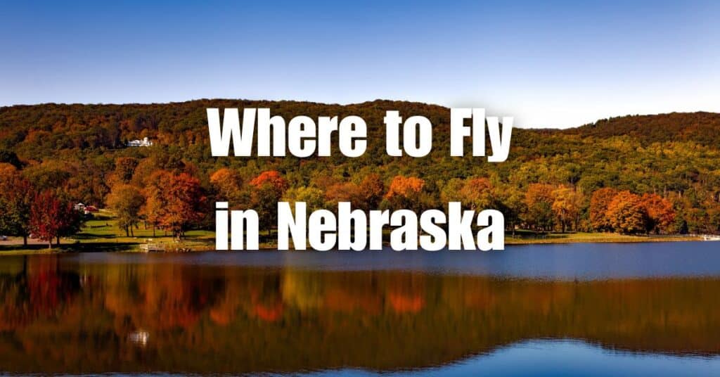
Nebraska, a state known for its diverse landscapes and scenic beauty, offers countless opportunities for drone photography enthusiasts. In this listicle, we present the top 5 locations in Nebraska that are perfect for capturing breathtaking aerial shots with your drone. From state parks to historic sites, these spots are sure to provide you with unforgettable drone photography experiences.
1. Smith Falls State Park
Located in the heart of Nebraska, Smith Falls State Park is a haven for drone enthusiasts seeking to capture stunning aerial footage. The park boasts of the highest waterfall in Nebraska, providing a breathtaking view from above. The lush greenery of the park, flowing waters of the Niobrara River, and rugged canyon landscapes make it a perfect location for drone photography.
Drone pilots can capture the mesmerizing scenery of the waterfall as it cascades down into the Niobrara River. The contrasting colors of the clear blue water against the rugged canyon walls provide a striking visual contrast that makes for perfect aerial photography. The lush greenery of the park adds a vibrant natural color palette, making it a perfect location for landscape photography.
With its varied terrain and breathtaking views, Smith Falls State Park is a photographer’s paradise. The park offers an array of photographic opportunities, from capturing the flow of the river to the unique rock formations in the canyon. Aerial photography allows for a unique perspective of the park, providing photographers with a bird’s eye view of the park’s beauty.
In conclusion, Smith Falls State Park is a top-notch location for drone photography. Its natural beauty and diverse terrain provide a wealth of photographic opportunities. Drone pilots can capture stunning aerial footage of the park’s lush greenery, flowing waters, and picturesque views. It is a must-visit destination for any drone enthusiast seeking to capture mesmerizing aerial footage.
Key Features:
- Nebraska’s highest waterfall
- Beautiful natural scenery
- Ample photographic opportunities
Location: Smith Falls State Park is located near Valentine, Nebraska.
Hours of Operation: The park is open year-round, with daily hours from sunrise to sunset.
Contact Information: For more information about the park, you can visit the Nebraska Game and Parks Commission website or call (402) 376-1306.
2. Platte River State Park
Platte River State Park is a hidden gem located midway between the cities of Omaha and Lincoln, providing drone pilots with an abundance of picturesque landscapes to capture. The park offers diverse terrain, including hiking trails and observation towers, perfect for capturing the natural beauty of Nebraska from above.
One of the park’s most stunning features is the cascading waterfall. The waterfalls create a breathtaking scene as they tumble down the rocks and into the Platte River below, making it a perfect spot for aerial photography. The park’s picturesque views provide a backdrop of natural beauty, adding to the captivating visuals from above.
Drone pilots can explore the park’s tranquil environment, capturing stunning footage of the park’s diverse wildlife, including the native flora and fauna. The park’s hiking trails offer opportunities for aerial footage of the winding river, adding to the park’s natural beauty.
In conclusion, Platte River State Park is a must-visit location for any drone enthusiast seeking to capture stunning aerial footage. The park’s diverse terrain and tranquil environment offer endless photographic opportunities. The cascading waterfall and winding river, combined with the lush greenery, create a breathtaking aerial view. It is the perfect location for those seeking to capture the natural beauty of Nebraska from a unique perspective.
Key Features:
- Scenic landscapes and waterfalls
- Excellent hiking trails
- Convenient location between Omaha and Lincoln
Location: Platte River State Park is situated near Louisville, Nebraska.
Hours of Operation: The park is open year-round, with daily hours from sunrise to sunset.
Contact Information: For more information about the park, visit the Nebraska Game and Parks Commission website or call (402) 234-2217.
3. Indian Cave State Park
Indian Cave State Park, located in southeastern Nebraska, is a captivating destination for drone pilots seeking a unique and diverse location to capture stunning aerial footage. The park is home to a unique sandstone cave, featuring prehistoric petroglyphs, making it a must-visit location for any history and nature enthusiast.
Aside from the cave, the park boasts of picturesque vistas of the Missouri River, dense forests, and rugged bluffs, making it an ideal spot for capturing stunning aerial photography. The natural beauty of the park combined with the rugged terrain provides a captivating backdrop for any aerial photographer seeking to capture the beauty of Nebraska from above.
Drone pilots can explore the park’s dense forests and capture footage of the winding Missouri River, adding to the park’s natural beauty. The rugged bluffs and natural rock formations offer additional photographic opportunities, providing drone pilots with unique and captivating aerial footage.
In conclusion, Indian Cave State Park is a top destination for drone photography enthusiasts. The park’s unique sandstone cave, combined with picturesque vistas of the Missouri River, dense forests, and rugged bluffs, offer endless opportunities for capturing stunning aerial footage. It is a must-visit location for any drone pilot seeking to capture the natural beauty of Nebraska from a unique perspective.
Key Features:
- Sandstone cave with prehistoric petroglyphs
- Stunning views of the Missouri River
- Varied terrain and landscapes
Location: Indian Cave State Park is located near Shubert, Nebraska.
Hours of Operation: The park is open year-round, with daily hours from sunrise to sunset.
Contact Information: For more information about the park, visit the Nebraska Game and Parks Commission website or call (402) 883-2575.
4. Chimney Rock National Historic Site
Chimney Rock, a National Historic Site and geological formation located in western Nebraska, is a must-visit location for any drone pilot seeking to capture breathtaking aerial footage. The rock’s dramatic appearance and historical significance make it a popular destination for tourists and drone enthusiasts alike.
The towering rock formation, rising 325 feet above the surrounding plains, provides a captivating backdrop for aerial photography. Its unique shape and rugged texture make for a striking visual contrast against the expansive sky, offering endless photographic opportunities from above.
Drone pilots can also capture the historical significance of Chimney Rock, which served as a landmark for pioneers traveling along the Oregon Trail. Capturing footage of the surrounding prairies and the vast, open sky from above adds to the natural beauty of the park, making it a perfect spot for landscape photography.
In conclusion, Chimney Rock is a top destination for any drone pilot seeking to capture impressive aerial footage. Its dramatic appearance and historical significance provide a unique opportunity to capture stunning visuals from above. It is a must-visit location for any drone enthusiast seeking to capture the natural beauty and history of Nebraska from a unique perspective.
Key Features:
- Iconic geological formation
- Rich historical significance
- Breathtaking aerial photography opportunities
Location: Chimney Rock National Historic Site is situated near Bayard, Nebraska.
Hours of Operation: The site is open year-round, with daily hours from dawn to dusk.
Contact Information: For more information about Chimney Rock, visit the National Park Service website or call (308) 586-2581.
5. Lake McConaughy State Recreation Area
Lake McConaughy, Nebraska’s largest reservoir, is a premier destination for drone pilots seeking to capture stunning aerial footage. With its vast expanse of sandy beaches, crystal-clear waters, and diverse wildlife, the lake offers an ideal backdrop for aerial photography.
Drone pilots can capture the stunning beauty of the lake from above, showcasing its expansive shoreline, sandy beaches, and clear blue waters. The diverse wildlife, including birds and fish, provide additional opportunities for capturing unique aerial footage of the park’s natural beauty.
The surrounding landscapes of Lake McConaughy also offer endless photographic opportunities. Drone pilots can capture the rugged bluffs and rolling hills surrounding the lake, adding to the natural beauty of the park. The lake’s panoramic views also offer a captivating backdrop for landscape photography.
In conclusion, Lake McConaughy is a top destination for any drone pilot seeking to capture stunning aerial footage. Its vast expanse of sandy beaches, clear blue waters, diverse wildlife, and picturesque surroundings provide endless photographic opportunities. It is a must-visit location for any drone enthusiast seeking to capture the natural beauty of Nebraska from above.
Key Features:
- Largest reservoir in Nebraska
- Beautiful sandy beaches and clear waters
- Diverse wildlife and recreational activities
Location: Lake McConaughy State Recreation Area is located near Ogallala, Nebraska.
Hours of Operation: The recreation area is open year-round, with daily hours from sunrise to sunset.
Contact Information: For more information about Lake McConaughy, visit the Nebraska Game and Parks Commission website or call (308) 284-8800.
Conclusion
These top 5 spots for drone photography in Nebraska showcase the state’s diverse landscapes and scenic beauty. As a drone pilot, you can create unforgettable memories by capturing breathtaking aerial shots at these stunning locations. However, always remember to check federal, state, and local laws before flying in any of these areas to ensure a safe and enjoyable experience.
If you’re interested in learning more about building and growing your drone business, don’t forget to check out our guide, Soaring High: A Comprehensive Guide to Building and Growing Your Drone Business. It’s packed with valuable tips and insights to help you succeed in the world of drone photography.
For any inquiries regarding LiDAR or Orthomosaic projects, or if you have any questions, don’t hesitate to contact Blue Falcon Aerial. Our team of experts is ready to assist you with all your drone-related needs.