In the world of aerial surveying and mapping, photogrammetry has become a crucial technology for capturing detailed and accurate data. When it comes to choosing the perfect drone for photogrammetry, the Mavic 3 Enterprise stands out from the competition as the undisputed king. In this article, we’ll explore the unique features and specifications that make the Mavic 3 Enterprise the best choice for photogrammetry tasks and how it compares with other leading drone models. We will also discuss the benefits, software, regulations, and real-world applications of the Mavic 3 Enterprise for photogrammetry.
Key Takeaways
- Mavic 3 Enterprise for Photogrammetry: The article discusses the Mavic 3 Enterprise’s superiority in photogrammetry.
- Features: Highlights include a high-resolution camera, advanced obstacle avoidance, and extended flight time.
- Accuracy: Provides centimeter-level precision in mapping and surveying.
- Comparisons with Competitors: Outperforms alternatives like Autel EVO Lite+ and Parrot Anafi USA in key aspects.
- Applications: Ideal for diverse industries including agriculture, construction, and environmental monitoring.
- Software Compatibility: Works well with various photogrammetry software like Pix4D and Agisoft Metashape.
Overview of Photogrammetry
What is Photogrammetry?
Photogrammetry is a technique that involves the process of obtaining reliable and accurate measurements from photographs. By using specialized software, photogrammetry can reconstruct 3D models, generate maps, or create orthophotos by analyzing the positions, angles, and distances between multiple overlapping images taken from different viewpoints.
How Does Photogrammetry Work?
The fundamental principle behind photogrammetry is triangulation. By capturing multiple images of an object or area from different angles, it’s possible to establish common points among the photos. The software then uses these common points to calculate the distance, size, and shape of the subject. It involves the following steps:
- Image Acquisition: High-resolution aerial images are captured using drones, aircraft, or satellites.
- Image Processing: The overlapping images are processed and georeferenced to create a 3D point cloud.
- 3D Model Generation: The point cloud data is used to generate a 3D model, orthophoto, or digital elevation model (DEM).
Importance of Photogrammetry
Photogrammetry has become increasingly important due to its numerous applications across various industries. Some of the key benefits of using photogrammetry include:
- Generating accurate 3D models and maps for surveying, construction, and infrastructure projects.
- Monitoring and assessing environmental changes, such as deforestation, erosion, and floodplains.
- Assisting in agriculture by creating precise topographic maps and assessing crop health.
- Streamlining the process of urban planning and development by providing detailed information on land use and elevation.
Mavic 3 Enterprise: A Brief Overview
What is Mavic 3 Enterprise?
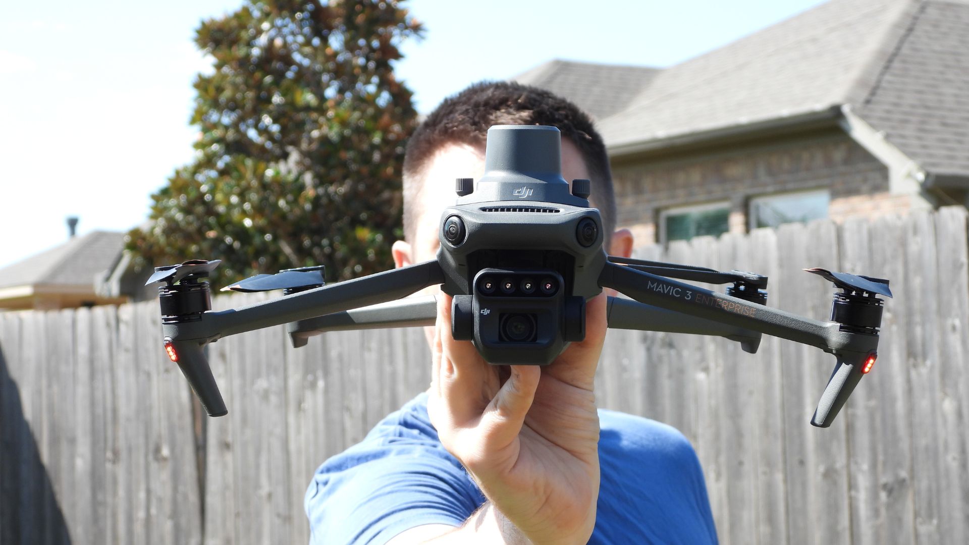
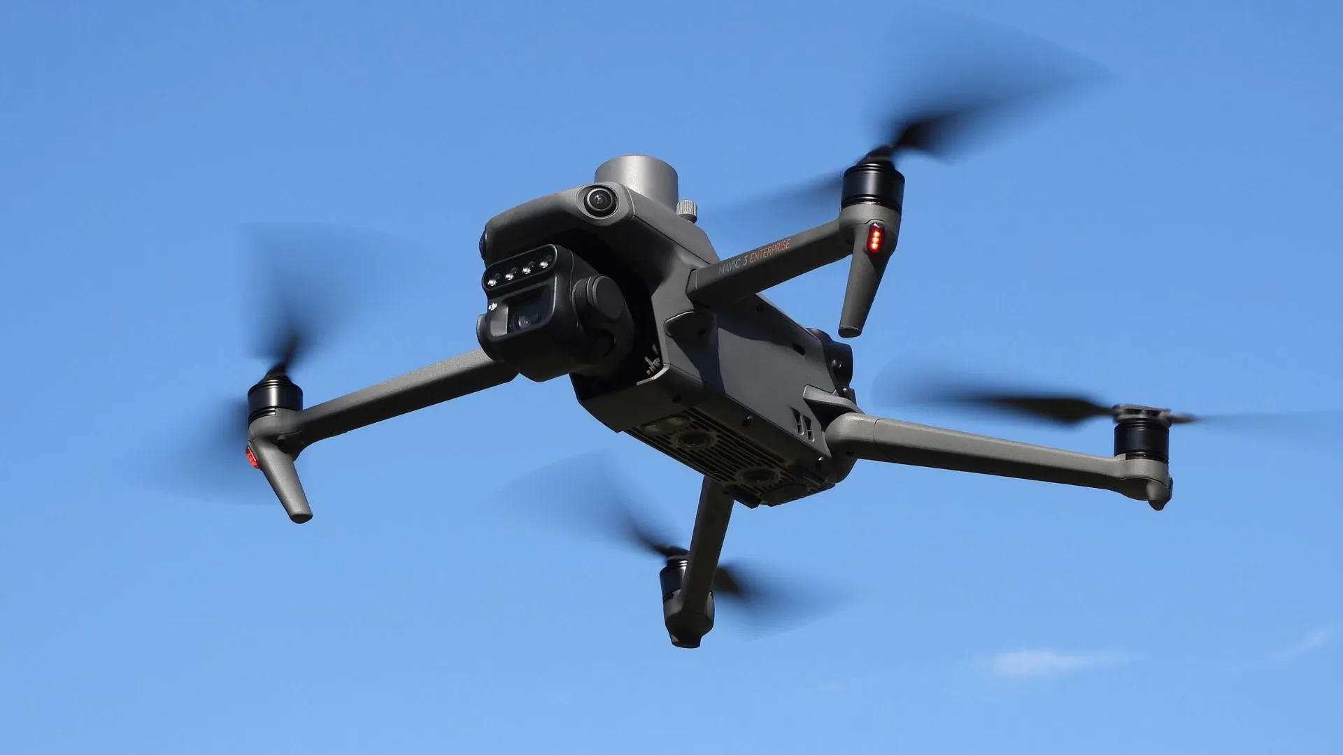
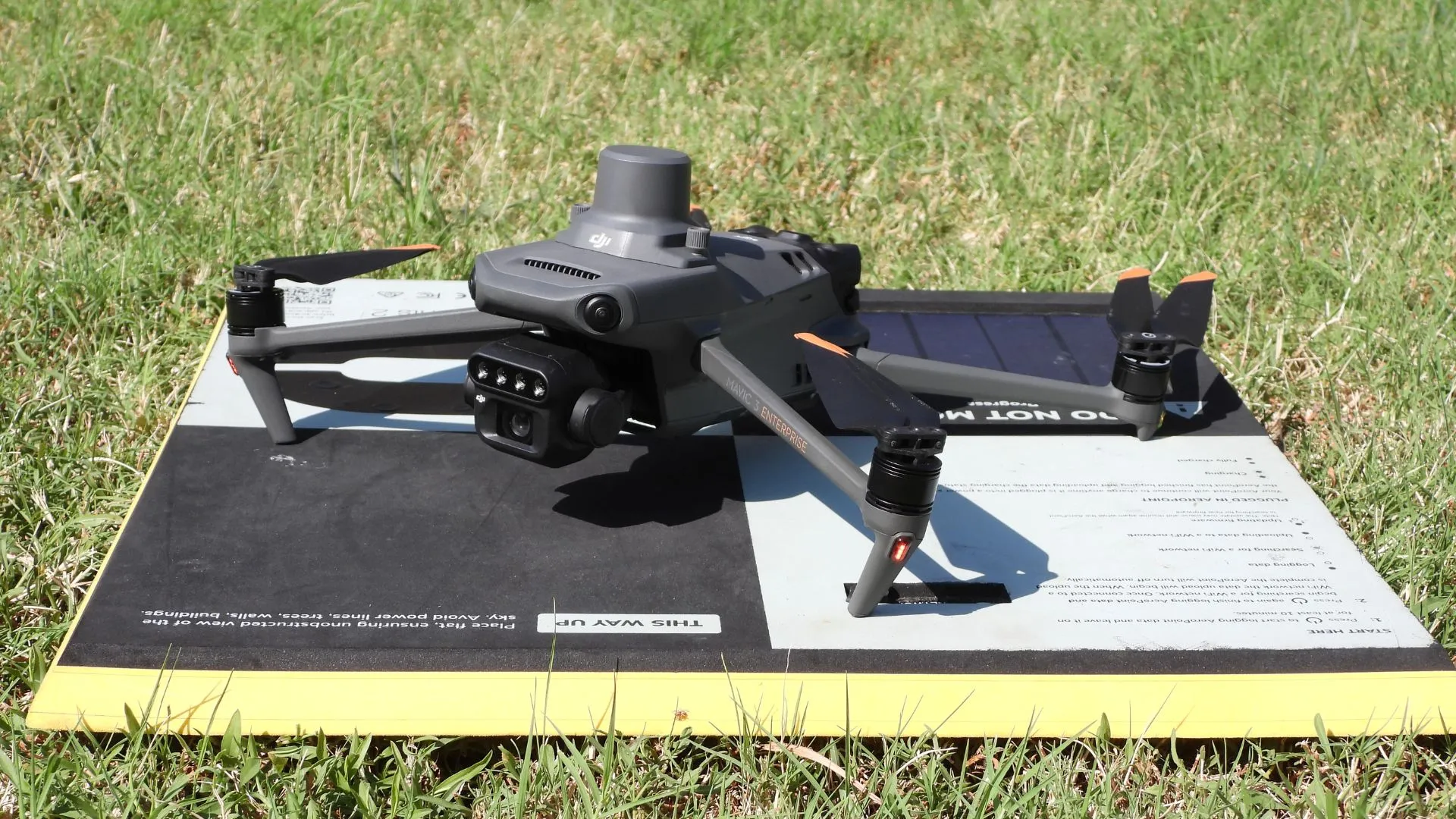
The Mavic 3 Enterprise is a state-of-the-art drone developed by DJI, a leading manufacturer of unmanned aerial vehicles (UAVs). Designed specifically for professional use, the Mavic 3 Enterprise boasts a range of advanced features that make it an ideal choice for photogrammetry tasks. It offers a perfect combination of high-quality imaging, precision, and versatility, making it suitable for various industries and applications.
Key Specifications and Features
The Mavic 3 Enterprise comes with an array of impressive specifications and features that set it apart from other drones available in the market:
- High-resolution Camera: The drone is equipped with a 20-megapixel camera featuring a 4/3 CMOS sensor, which allows it to capture stunning high-resolution aerial images.
- Advanced Obstacle Avoidance: The Mavic 3 Enterprise features a sophisticated obstacle avoidance system using multiple sensors to ensure safe and stable flight even in complex environments.
- Extended Flight Time: With a maximum flight time of 46 minutes, the Mavic 3 Enterprise allows users to capture more data in a single flight, increasing efficiency and reducing operational costs.
- Accurate GPS and RTK Positioning: The drone comes with built-in GPS and optional RTK (Real-Time Kinematic) modules, providing centimeter-level accuracy for georeferencing the captured data.
These specifications and features make the Mavic 3 Enterprise an excellent choice for professionals seeking a powerful and reliable drone for photogrammetry and other applications.
Mavic 3 Enterprise and Photogrammetry
How Can Mavic 3 Enterprise Be Used for Photogrammetry?
The Mavic 3 Enterprise is an excellent choice for photogrammetry tasks due to its advanced features and capabilities. To use the Mavic 3 Enterprise for photogrammetry, follow these general steps:
- Flight Planning: Plan the drone’s flight path to ensure adequate coverage of the area of interest. This includes selecting the appropriate altitude, camera angle, and overlap between images.
- Data Collection: Fly the Mavic 3 Enterprise along the planned path, capturing high-resolution images at regular intervals. The drone’s advanced obstacle avoidance system ensures safe and stable flight during this process.
- Image Processing: Import the captured images into photogrammetry software, which will process the data to generate 3D models, orthophotos, or digital elevation models.
- Analysis and Visualization: Analyze the generated data and use it for various applications, such as surveying, construction, agriculture, and environmental monitoring.
Benefits of Using Mavic 3 Enterprise for Photogrammetry
The Mavic 3 Enterprise offers numerous benefits for photogrammetry tasks, including:
- High-quality Imaging: The drone’s 20-megapixel camera and 4/3 CMOS sensor ensure high-resolution images, resulting in more accurate and detailed outputs.
- Extended Flight Time: With a flight time of up to 46 minutes, the Mavic 3 Enterprise allows users to cover larger areas in a single flight, increasing productivity and reducing operational costs.
- Advanced Obstacle Avoidance: The drone’s sophisticated obstacle avoidance system helps maintain safe and stable flight during data collection, even in challenging environments.
- Accurate GPS and RTK Positioning: The built-in GPS and optional RTK modules provide centimeter-level accuracy for georeferencing, enhancing the precision of the photogrammetry outputs.
Photogrammetry Software for Mavic 3 Enterprise
To process and analyze the data collected by the Mavic 3 Enterprise, specialized photogrammetry software is required. There are several software options available, both proprietary and open-source, that are compatible with the Mavic 3 Enterprise:
Pix4D: A popular choice for professionals, Pix4D offers a suite of photogrammetry tools for processing, analyzing, and visualizing aerial imagery. The software is capable of generating 3D models, orthophotos, and digital elevation models with high accuracy.
Agisoft Metashape: Another powerful option for photogrammetry, Agisoft Metashape provides advanced processing capabilities and supports various input formats, including images captured by the Mavic 3 Enterprise.
OpenDroneMap: As an open-source alternative, OpenDroneMap is a free and community-driven solution for processing aerial imagery into 3D models, orthophotos, and more. Although it may lack some of the advanced features found in proprietary software, it is still a viable option for many users.
DroneDeploy: Designed specifically for drone data processing, DroneDeploy offers an intuitive cloud-based platform for generating 3D models, orthophotos, and digital elevation models from aerial images captured by the Mavic 3 Enterprise.
These software options provide users with the tools necessary to process and analyze the data captured by the Mavic 3 Enterprise for photogrammetry tasks, ensuring accurate and reliable results.
Regulations and Requirements for Using Drones for Photogrammetry
Before using the Mavic 3 Enterprise or any other drone for photogrammetry, it is essential to be aware of the regulations and requirements that govern drone operations. These regulations vary by country and region, but some common aspects to consider include:
Licensing and Certification
In many countries, commercial drone operators must obtain a license or certification to operate legally. This typically involves passing a written exam and demonstrating practical flying skills. In the United States, for example, commercial drone pilots must hold a Remote Pilot Certificate from the Federal Aviation Administration (FAA).
Airspace Restrictions
Airspace restrictions are in place to ensure the safety of manned aircraft and to protect sensitive areas. Before flying a drone for photogrammetry, operators should consult local airspace maps and ensure they have the necessary permissions to fly in the area of interest. Some countries, such as the United States, have mobile applications like B4UFLY to help drone pilots identify restricted airspace.
Privacy and Data Protection
Drones are capable of capturing high-resolution images, and operators must be aware of privacy and data protection concerns when using drones for photogrammetry. In many countries, it is essential to obtain permission from property owners before capturing images of private property and to ensure that any collected data is stored securely and used responsibly.
Photogrammetry Mapping with Mavic 3 Enterprise
The Mavic 3 Enterprise’s advanced capabilities make it an ideal choice for photogrammetry mapping tasks. To create accurate and detailed maps using the Mavic 3 Enterprise, follow these steps:
- Flight Planning: Plan the drone’s flight path, ensuring adequate coverage of the area of interest. This includes selecting the appropriate altitude, camera angle, and overlap between images. Various flight planning software options are available, such as DJI Terra and Pix4Dcapture, to streamline this process.
- Data Collection: Fly the Mavic 3 Enterprise along the planned path, capturing high-resolution images at regular intervals. The drone’s advanced obstacle avoidance system ensures safe and stable flight during this process.
- Image Processing: Import the captured images into photogrammetry software, which will process the data to generate orthophotos, 3D models, or digital elevation models. Software options like Pix4D, Agisoft Metashape, and DroneDeploy can be used for this purpose.
- Analysis and Visualization: Analyze the generated data and use it for various applications, such as surveying, construction, agriculture, and environmental monitoring.
How Accurate is Photogrammetry with Drones?
The accuracy of photogrammetry with drones depends on several factors, including the drone’s camera quality, GPS accuracy, and the processing software used. When using a high-quality drone like the Mavic 3 Enterprise, combined with accurate GPS positioning and advanced photogrammetry software, it is possible to achieve impressive levels of accuracy.
In general, drone-based photogrammetry can produce results with:
- Horizontal accuracy of up to 1-3 centimeters per pixel
- Vertical accuracy of up to 3-5 centimeters per pixel
These figures can be improved further with techniques such as Ground Control Points (GCPs) or RTK/PPK GPS systems, which provide even more precise georeferencing. Overall, the accuracy of photogrammetry with drones like the Mavic 3 Enterprise is more than sufficient for most professional applications, including surveying, construction, and environmental monitoring.
Real-world Applications of Mavic 3 Enterprise for Photogrammetry
The Mavic 3 Enterprise’s advanced capabilities and accuracy make it a valuable tool for a wide range of industries that rely on photogrammetry for various applications. Some of the most significant applications include agriculture, construction, topographic mapping, and environmental monitoring.
Agriculture
Farmers and agronomists can use the Mavic 3 Enterprise to capture high-resolution aerial images of their fields. These images can be processed to create accurate topographic maps and assess crop health. Photogrammetry data from the Mavic 3 Enterprise can also be used to identify areas with nutrient deficiencies, pest infestations, or irrigation issues. By addressing these issues promptly, farmers can optimize their crop yields and reduce costs.
Construction Sites
The Mavic 3 Enterprise can be used to generate detailed 3D models of construction sites, which can aid in project planning, progress tracking, and quality control. Photogrammetry data can also be used to create accurate site maps, calculate cut and fill volumes, and monitor earthwork activities. The high-resolution imagery captured by the Mavic 3 Enterprise allows construction professionals to identify potential issues early and ensure that projects stay on schedule and budget.
Topographic Mapping
High-quality topographic maps are essential for various applications, such as land development, infrastructure planning, and resource management. The Mavic 3 Enterprise can be used to capture aerial images for creating accurate digital elevation models (DEMs) and contour maps. These maps can be used to plan and design roadways, pipelines, and other infrastructure projects. In addition, they can be used to monitor and manage natural resources such as forests and water bodies.
Environmental Monitoring
The Mavic 3 Enterprise can be used to monitor and assess the health of ecosystems, track the progress of environmental restoration projects, and identify potential threats to the environment. Photogrammetry data from the drone can be used to create detailed habitat maps, assess vegetation health, and monitor erosion and sedimentation patterns. The high-resolution imagery can also be used to track the progress of restoration efforts, such as reforestation projects or wetland restoration.
Processing Mavic 3 Enterprise Photogrammetry Data
Once you have captured the necessary images using the Mavic 3 Enterprise, the next step is to process the data to create useful outputs such as orthophotos, 3D models, or digital elevation models. Here’s a step-by-step guide on how to process Mavic 3 Enterprise photogrammetry data:
- Select Photogrammetry Software: Choose a suitable photogrammetry software package to process the captured images. Popular options include Pix4D, Agisoft Metashape, and DroneDeploy.
- Import Images: Import the captured images into the chosen software, ensuring that the images have sufficient overlap and the necessary metadata (such as geolocation information) is available.
- Align Images: The software will automatically align the images based on their overlapping areas and create a dense point cloud. This process involves feature matching, bundle adjustment, and camera calibration.
- Create Outputs: Generate the desired outputs from the dense point cloud, such as orthophotos, 3D models, or digital elevation models. Depending on the software, you may be able to further refine the outputs by applying filters or adjusting settings.
- Export and Visualize: Export the final outputs in a suitable format for analysis, visualization, or further processing. This may include exporting the data as a GeoTIFF, OBJ, or other file formats compatible with GIS or CAD software.
By following these steps, you can effectively process the photogrammetry data captured using the Mavic 3 Enterprise and generate useful outputs for various applications in agriculture, construction, topographic mapping
Mavic 3 Enterprise vs. Competitors
When considering the Mavic 3 Enterprise for photogrammetry, it’s essential to compare it with other leading drone models in the market. In this section, we’ll compare the Mavic 3 Enterprise with some of its primary competitors in terms of features, capabilities, and pricing.
Comparing with Other Leading Drone Models
Here, we will compare the Mavic 3 Enterprise with two popular competitors: the Autel EVO Lite+ and the Parrot Anafi USA.
| Feature | Mavic 3 Enterprise | Autel EVO Lite+ | Parrot Anafi USA |
|---|---|---|---|
| Price | $4,999 (Fly More Combo) | $1,699 (Standard Bundle) | $7,000 (Base model) |
| Camera | 20 MP Hasselblad | 20 MP | 21 MP |
| Video Resolution | 5.1K | 4K | 4K |
| Flight Time | Up to 46 minutes | Up to 40 minutes | Up to 32 minutes |
| Max Range | 15 km | 13 km | 5 km |
| Obstacle Avoidance | Omnidirectional | Omnidirectional | None |
| RTK/PPK Compatibility | Yes (with additional module) | No | Yes (with additional module) |
| Payload Capability | Yes | No | Yes |
Mavic 3 Enterprise:
The Mavic 3 Enterprise offers an impressive set of features and capabilities, making it an excellent choice for professional photogrammetry applications. With a 20 MP Hasselblad camera, 5.1K video resolution, and up to 46 minutes of flight time, the Mavic 3 Enterprise delivers high-quality imagery and extended flight time. Its omnidirectional obstacle avoidance system and RTK/PPK compatibility further enhance its capabilities. The Mavic 3 Enterprise Fly More Combo is priced at $4,999.
Autel EVO Lite+:
The Autel EVO Lite+ is a more affordable option for those looking for a drone with photogrammetry capabilities. It offers a 20 MP camera, 4K video resolution, and up to 40 minutes of flight time. While it also features an omnidirectional obstacle avoidance system, it lacks RTK/PPK compatibility and payload capability. The Autel EVO Lite+ Standard Bundle is priced at $1,699.
Parrot Anafi USA:
The Parrot Anafi USA is another competitor in the drone market, designed with a focus on security and industrial applications. It offers a 21 MP camera, 4K video resolution, and up to 32 minutes of flight time. While it lacks an obstacle avoidance system, it does offer RTK/PPK compatibility and payload capability with an additional module. The Parrot Anafi USA base model is priced at $7,000.
While the Mavic 3 Enterprise is not the most affordable option, its features, capabilities, and performance make it an excellent choice for professional photogrammetry applications. When compared to its competitors, it offers a well-rounded set of features that cater to various industries and applications, justifying its higher price point.
Throughout this article, we’ve delved into the reasons why the Mavic 3 Enterprise has earned its title as the king of photogrammetry. With its high-resolution camera, advanced obstacle avoidance, extended flight time, accurate GPS and RTK positioning, and versatile payload options, the Mavic 3 Enterprise is the ultimate solution for a wide range of photogrammetry applications.
If you’re interested in learning more about drone photogrammetry and orthomosaics, don’t hesitate to check out our Ultimate Guide to Drone Photogrammetry and Orthomosaics. This comprehensive guide will help you understand how these techniques can be applied to your specific industry or project.
Should you need any drone services or further assistance, feel free to contact Blue Falcon Aerial – our team of experts is always ready to help you achieve the best results possible.