Agriculture has come a long way from the traditional methods of cultivation. With advancements in technology, farmers are now leveraging aerial imagery to make data-driven decisions for optimal crop management. How aerial imagery improves crop management is a topic of great interest to many in the agricultural sector. This article will explore the benefits of aerial imagery and its transformative impact on crop management.
A Comprehensive Overview of Your Fields
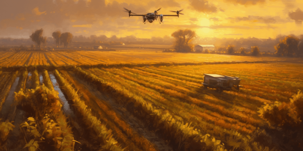
Aerial imagery provides a bird’s eye view of your fields, allowing you to monitor vast areas quickly and efficiently. High-resolution images captured by drones, satellites, or airplanes offer valuable insights into the health and growth of crops, enabling farmers to make informed decisions about their farming practices.
Identifying Problem Areas
One of the key benefits of aerial imagery in crop management is the ability to identify problem areas in your fields. High-resolution images can reveal patterns and issues such as:
- Crop stress
- Disease
- Pest infestations
- Nutrient deficiencies
- Water stress
By identifying these problems early, farmers can take corrective action before the situation worsens, ultimately saving time and resources.
Efficient Resource Management
Aerial imagery can be a powerful tool for resource management in agriculture. By analyzing the images, farmers can optimize the use of resources such as water, fertilizer, and pesticides, leading to better crop yields and reduced environmental impact.
Smart Irrigation
With aerial imagery, farmers can monitor soil moisture levels and identify areas that require more or less irrigation. This information allows them to apply water more precisely and conserve this valuable resource.
Targeted Fertilizer Application
Similarly, aerial imagery can help farmers assess the nutrient status of their crops, enabling them to apply fertilizers more accurately and efficiently. This targeted approach ensures that plants receive the right nutrients at the right time, improving crop health and yield.
Data-Driven Decision Making
Aerial imagery can be combined with other sources of data, such as weather forecasts, soil analysis, and historical crop performance, to create a comprehensive picture of your fields. This data-driven approach enables farmers to make better decisions about when to plant, irrigate, and harvest, leading to higher crop yields and improved farm efficiency.
Reducing Environmental Impact
Aerial imagery can help minimize the environmental impact of farming by promoting efficient resource management. By optimizing irrigation and fertilizer application, farmers can reduce water and nutrient runoff, which in turn decreases soil erosion and water pollution. Additionally, targeted pesticide applications can minimize chemical use, reducing the potential for harm to the environment and beneficial insects.
Increased Profitability
With aerial imagery, farmers can make data-driven decisions that lead to higher crop yields and more efficient resource management. This increased efficiency can result in lower costs and higher profits, making aerial imagery a worthwhile investment for modern agriculture.
Conclusion
In conclusion, the transformative power of aerial imagery in crop management cannot be overstated. The insights it provides into crop health, along with its ability to optimize resource management and facilitate data-driven decision making, are clear indicators of how aerial imagery improves crop management. From higher crop yields to reduced environmental impact, aerial imagery is a game-changer in modern agriculture.
If you’re interested in learning more about how aerial imagery can revolutionize your agricultural business, we highly recommend visiting Soaring High: A Comprehensive Guide to Building and Growing Your Drone Business. This comprehensive guide will equip you with valuable insights and practical tips for integrating aerial imagery technology into your farming operations.
For any drone services you may need, don’t hesitate to reach out to Blue Falcon Aerial. Their team of experts is ready to assist you in incorporating aerial imagery into your agricultural practices. You can contact them through their contact page for more information and support.