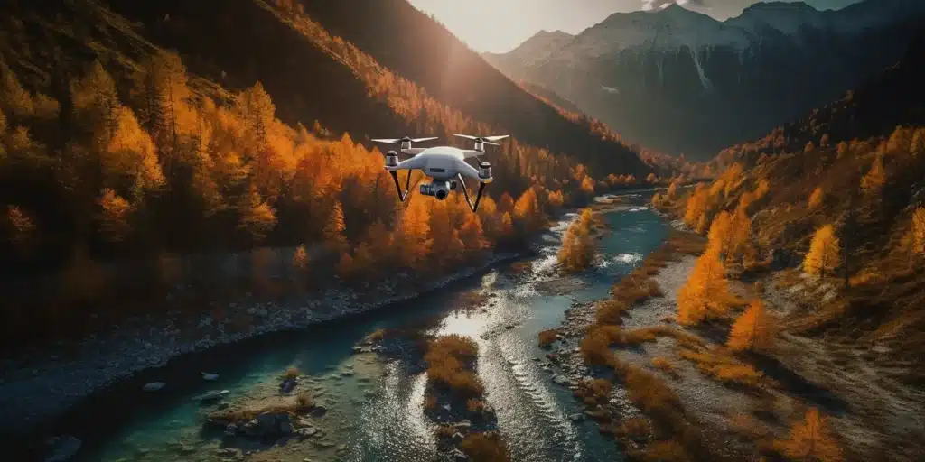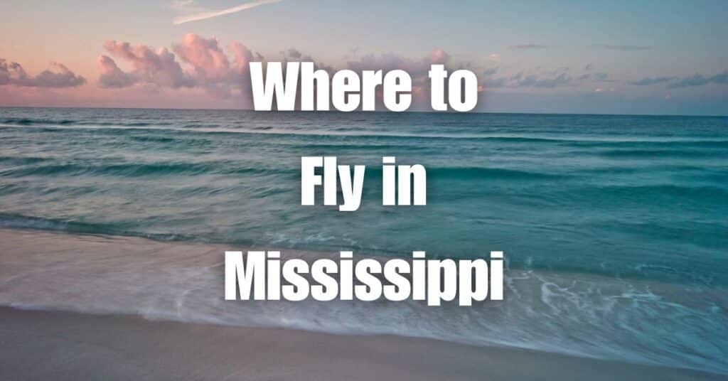
Mississippi, with its rich history, diverse landscapes, and picturesque scenery, offers a wealth of opportunities for drone photography enthusiasts. In this article, we’ll explore the top 5 locations in Mississippi that are perfect for capturing stunning aerial photos. So, pack your drone and let’s take a closer look at these amazing locations.
1. Natchez Trace Parkway
Contact: Natchez Trace Parkway Visitor Center
Location: From Natchez, Mississippi to Nashville, Tennessee
Open Hours: 24/7 (Visitor Center: 9 am to 4:30 pm)
Key Features:
- Scenic 444-mile historic route
- Beautiful forests, wetlands, and waterways
- Numerous historical sites and landmarks
The Natchez Trace Parkway, a scenic 444-mile historic route that stretches from Natchez, Mississippi to Nashville, Tennessee, is an ideal location for capturing breathtaking aerial photography. The parkway offers a diverse landscape with beautiful forests, wetlands, waterways, and numerous historical sites and landmarks. Don’t miss the opportunity to capture stunning shots of the picturesque Cypress Swamp, the striking Ross Barnett Reservoir, and the iconic Old Trace Drive.
2. Gulf Islands National Seashore
Contact: Gulf Islands National Seashore
Location: Along the Gulf Coast of Mississippi and Florida
Open Hours: Varies by location
Key Features:
- Pristine barrier islands
- White sandy beaches and turquoise waters
- Abundant wildlife
Gulf Islands National Seashore, a protected area along the Gulf Coast of Mississippi and Florida, is a must-visit destination for drone photographers. The national seashore features pristine barrier islands, white sandy beaches, turquoise waters, and abundant wildlife. Capture the stunning beauty of Ship Island, Horn Island, and Petit Bois Island from a unique aerial perspective.
3. Vicksburg National Military Park
Contact: Vicksburg National Military Park
Location: Vicksburg, Mississippi
Open Hours: 8 am to 5 pm
Key Features:
- Historical Civil War site
- Monuments, memorials, and cannons
- Scenic landscapes and vistas
Vicksburg National Military Park, a historic Civil War site in Vicksburg, Mississippi, offers a unique opportunity for drone photographers to capture both history and scenic landscapes. The park is home to numerous monuments, memorials, and cannons, as well as beautiful vistas overlooking the Mississippi River. Be sure to capture the iconic Illinois Memorial, the USS Cairo Gunboat and Museum, and the impressive Vicksburg National Cemetery.
4. Noxubee National Wildlife Refuge
Contact: Noxubee National Wildlife Refuge
Location: Brooksville, Mississippi
Open Hours: Sunrise to sunset
Key Features:
- 48,000-acre wildlife refuge
- Diverse habitats and wildlife
- Scenic lakes and wetlands
Noxubee National Wildlife Refuge, a sprawling 48,000-acre wildlife refuge in Brooksville, Mississippi, is a paradise for nature lovers and drone photographers. The refuge features diverse habitats, including forests, lakes, and wetlands, which are home to a variety of wildlife species. Don’t miss the chance to capture the stunning beauty of Bluff Lake, the striking observation platforms, and the lush vegetation from an aerial perspective.
5. The Mississippi Delta
Contact: Mississippi Delta Tourism Association
Location: Northwestern Mississippi
Open Hours: Public areas, no specific hours
Key Features:
- Rich cultural heritage
- Unique landscapes and farmlands
- Birthplace of the blues music
The Mississippi Delta, a region in northwestern Mississippi known for its rich cultural heritage, unique landscapes, and as the birthplace of blues music, is a must-visit destination for drone photography enthusiasts. Capture the expansive cotton fields, the meandering Mississippi River, and historic landmarks like the Dockery Plantation and the Delta Blues Museum.
Conclusion
Before setting out to explore these incredible drone photography locations in Mississippi, always remember to check federal, state, and local laws to ensure that you are flying safely and legally. By doing so, you can fully enjoy the beauty and charm these locations have to offer.
To further enhance your drone photography skills and grow your business, don’t miss our comprehensive guide: Soaring High: A Comprehensive Guide to Building and Growing Your Drone Business. This valuable resource will provide you with the knowledge and tools needed to succeed in the rapidly expanding drone industry.
If you require assistance with a LiDAR or Orthomosaic project, or if you have any questions, don’t hesitate to contact Blue Falcon Aerial. Our team of experts is ready to help you achieve your aerial photography goals.