Point Cloud

Surveyors, ever wondered about the potential of LiDAR for your roadway projects?

The future of roadway data collection has arrived.

Swift. Secure. Precise.

LiDAR Data Collection Solutions Tailored for Roadways

In an ever-evolving landscape of surveying technology, Blue Falcon Aerial keeps pace with the latest innovations. We’re employing LiDAR to revolutionize data collection for roadway projects, offering rapid, safe, and highly accurate results.

Planimetrics
Contours

LiDAR: A New Paradigm for Roadway Data Collection

The times when LiDAR was deemed too complex or costly for small to medium-sized projects are over. We're flipping the script by integrating LiDAR technology into roadway data collection across all project sizes. Our promise is high-quality 3D deliverables and planimetrics, delivered on time and on target every time.

Breaklines

Accelerated Turnaround, Risk Mitigation, Exceptional Quality: Our Commitment to You

We understand the burdens of growing project backlogs. That’s why Blue Falcon Aerial focuses on minimizing turnaround times and risk, while ensuring the highest quality data for your projects. Our accurate and efficient data collection reduces turnaround times and elevates your deliverables to the next level.

Oklahoma

Rooted in Oklahoma, Serving Nationwide

We are headquartered in Oklahoma, and are dedicated to serving the nation. Our quick, safe, and top-notch LiDAR services are accessible to you, no matter where your project is located. Better yet, we don't charge mileage.

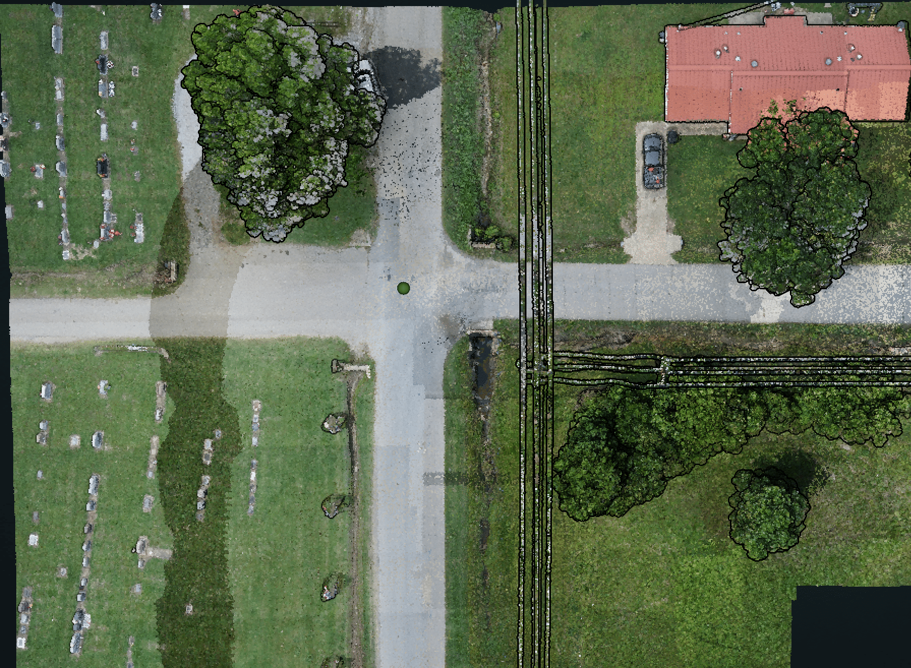
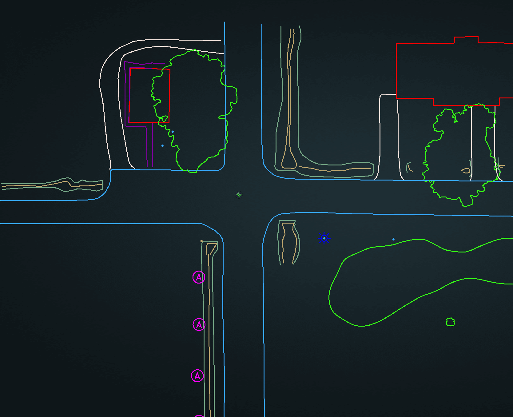
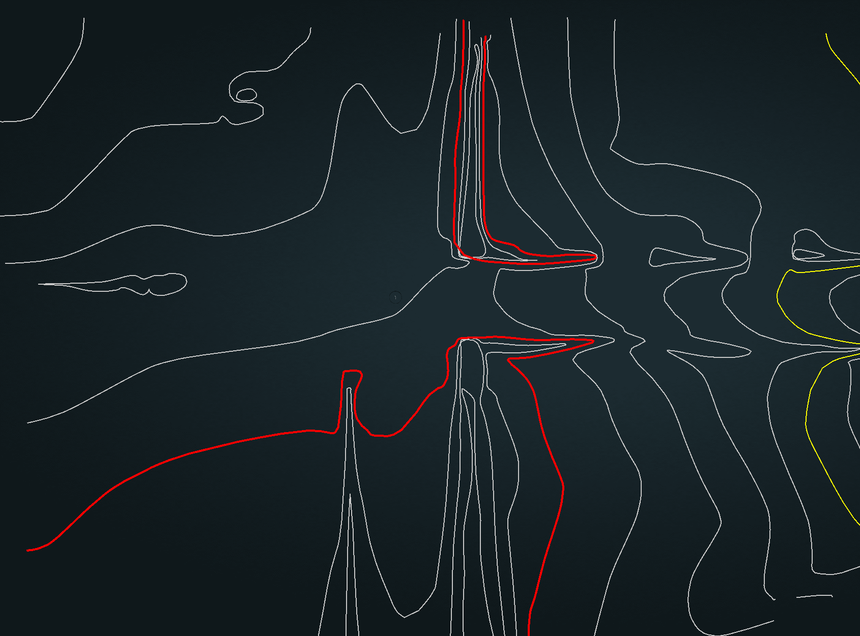
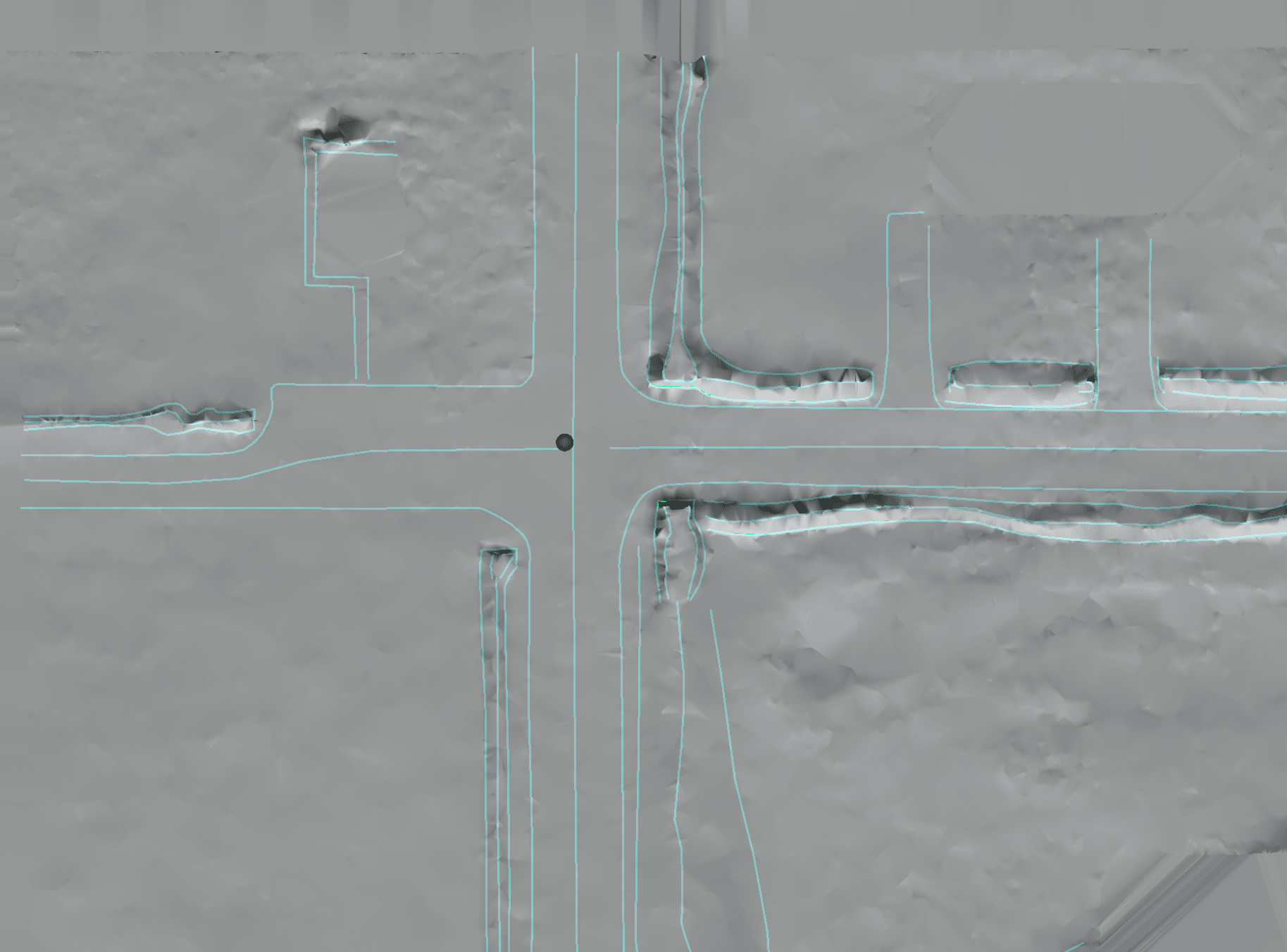
Discover the LiDAR Edge

Ready to see how LiDAR can transform your roadway projects? We’re eager to demonstrate the value of our data collection services. Schedule a consultation today and let’s discuss how our LiDAR solutions, including accurate planimetrics, can revolutionize your project delivery, offering a fast, safe, and quality-centered approach customized to your specific needs.

Embrace the future of surveying. Welcome to the LiDAR revolution.

Fill out the below form below or call us at 405-237-8233

Disclaimer: Entering your email and submitting, tells us you are interested in receiving information. You may opt out at any time.
Please allow us to know the location of your roof. If we don't know your address, we won't be able to validate your location as a service area.
This will be the main contact to reach out for any follow-up, scheduling, or both.

Blue Falcon Aerial provides aerial data collection and provides data to Rock Robotics for processing, delivery and production of deliverables. Blue Falcon Aerial is not a state-licensed professional engineering, pipeline inspection, or land surveying firm, and neither its employees nor its contractors possess licenses in such fields. All content on this website, including text, graphics, images, and other material is intended for informational purposes only. You should not rely on such content for any specific context or condition, and it is not a substitute for advice or services that should be provided by a licensed professional engineer, licensed land surveyor, or licensed pipeline inspector. Nor does this content constitute an offer to provide such professional services.


Copyright © 2023 Blue Falcon Aerial

Want to Learn More on How we can Help Your Next Project?

Scroll to Top