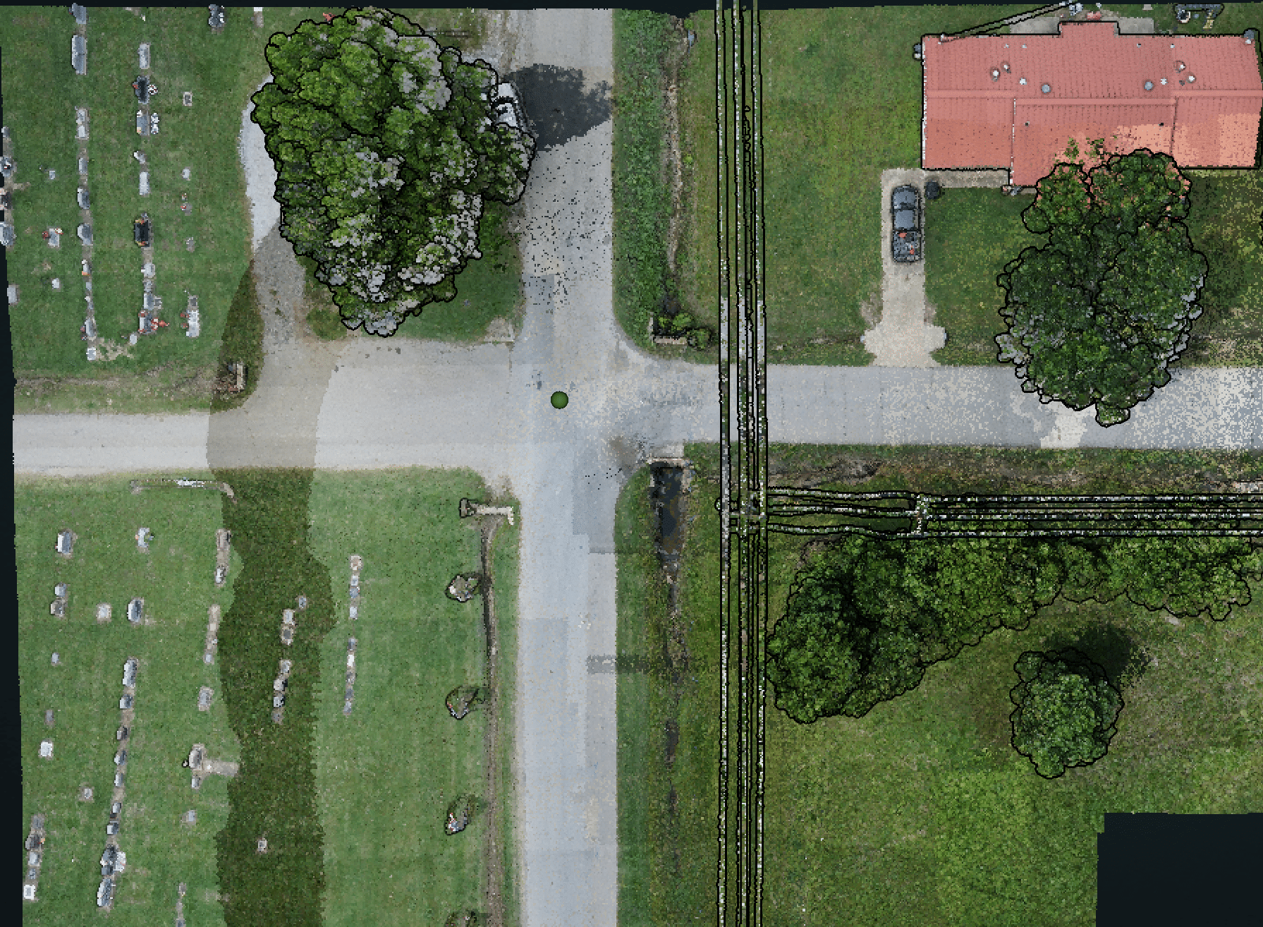
Point Cloud

Surveyors, did you know LiDAR is being used for more small scale projects?

It surprised us too.

Agile. Versatile. Swift.

Accurate & Efficient Aerial LiDAR Solutions

As the world of surveying evolves, so does the need for versatile, agile, and innovative solutions that cater to projects of all sizes. This is where Blue Falcon Aerial comes in. Our aerial LiDAR services are transforming the way smaller projects are tackled, offering an efficient, adaptable, and fast solution that turns what was once an arduous task into a streamlined process.

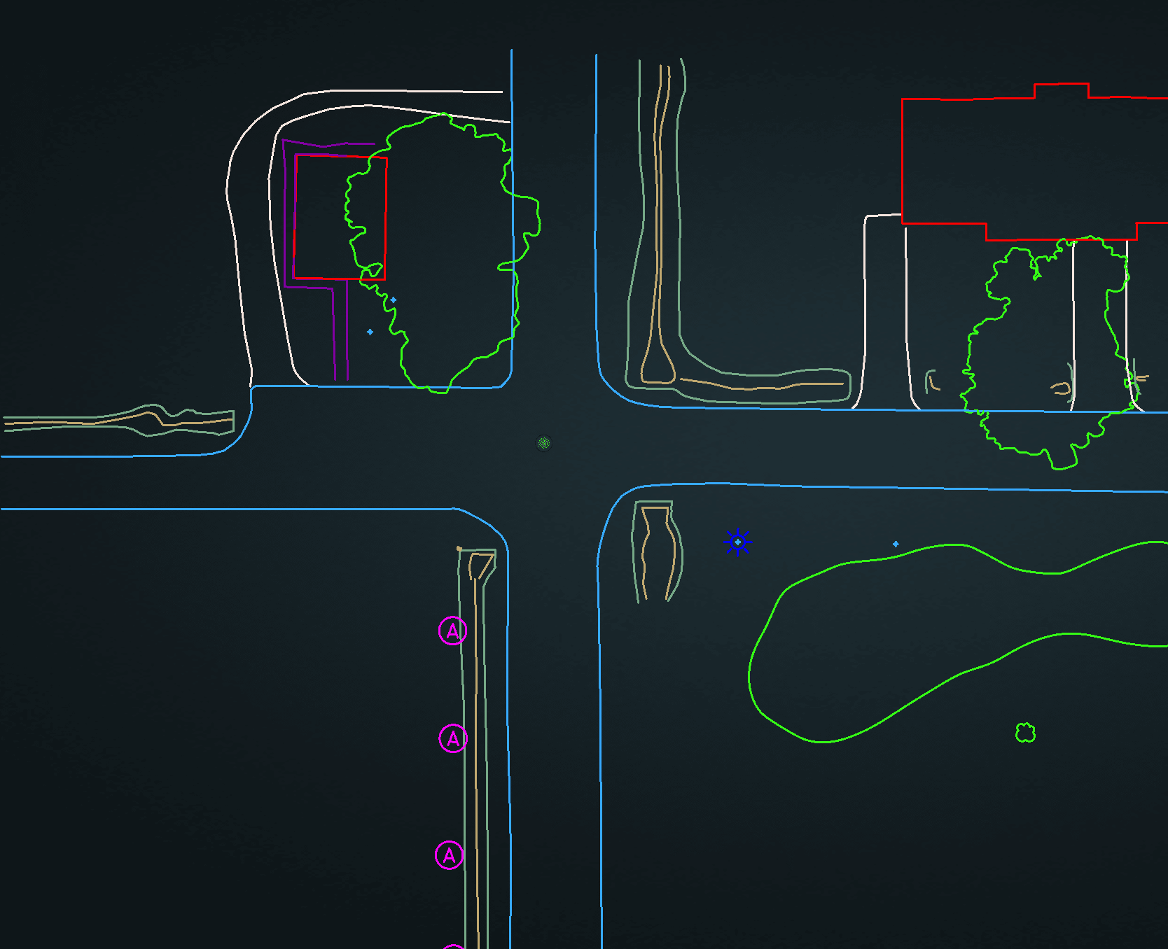
Planimetrics
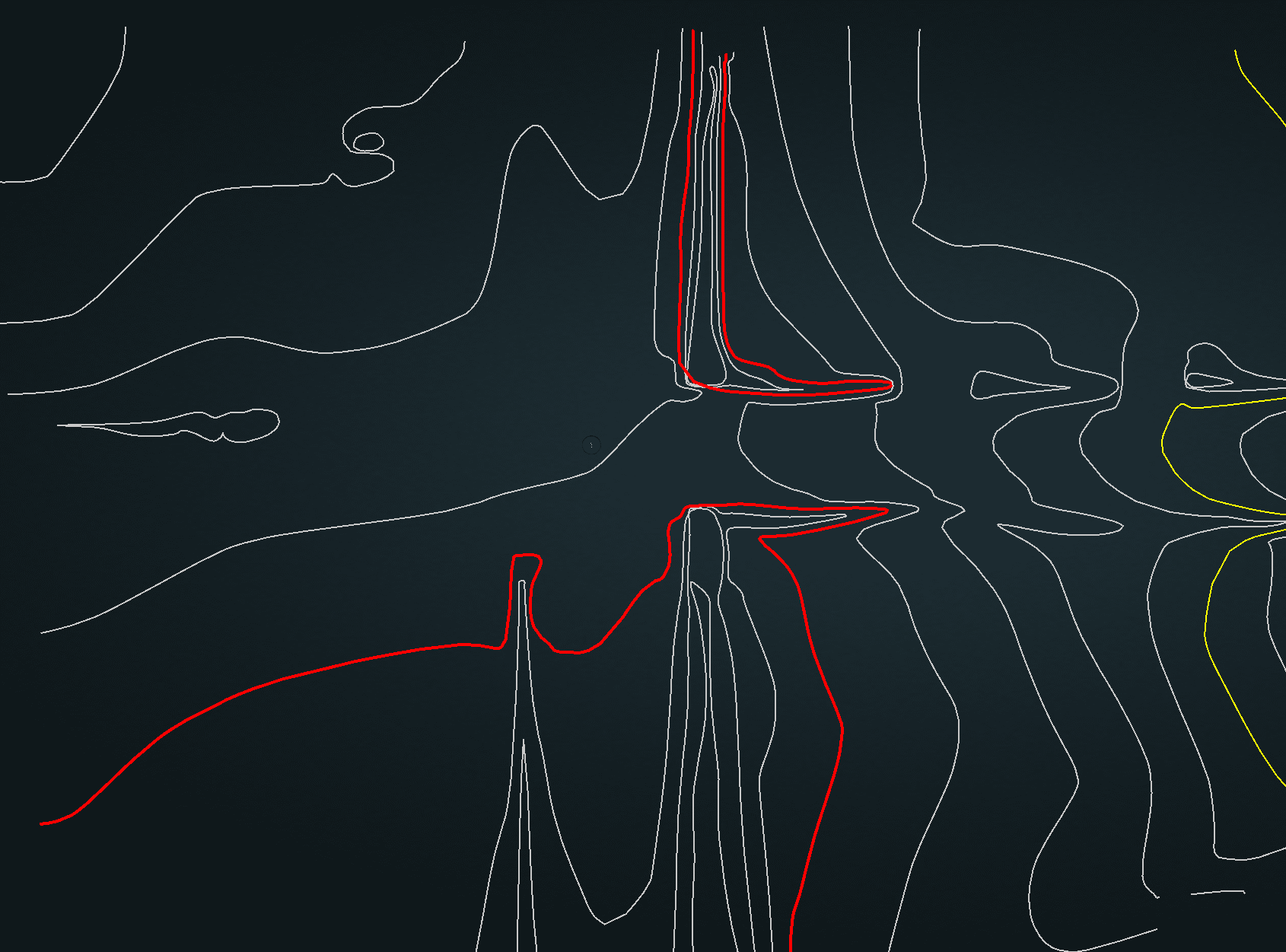
Contours

LiDAR: Not Just for Large Projects Anymore

No more are the days when LiDAR was too complex or cost-prohibitive for small to medium-sized projects. We're reshaping this industry by integrating LiDAR technology into a broad spectrum of project sizes, with an increasing emphasis on smaller initiatives. Whether it's for roadway, construction, or land surveying, Blue Falcon Aerial delivers speed, versatility, and risk reduction, making us the ideal choice for your varied needs.

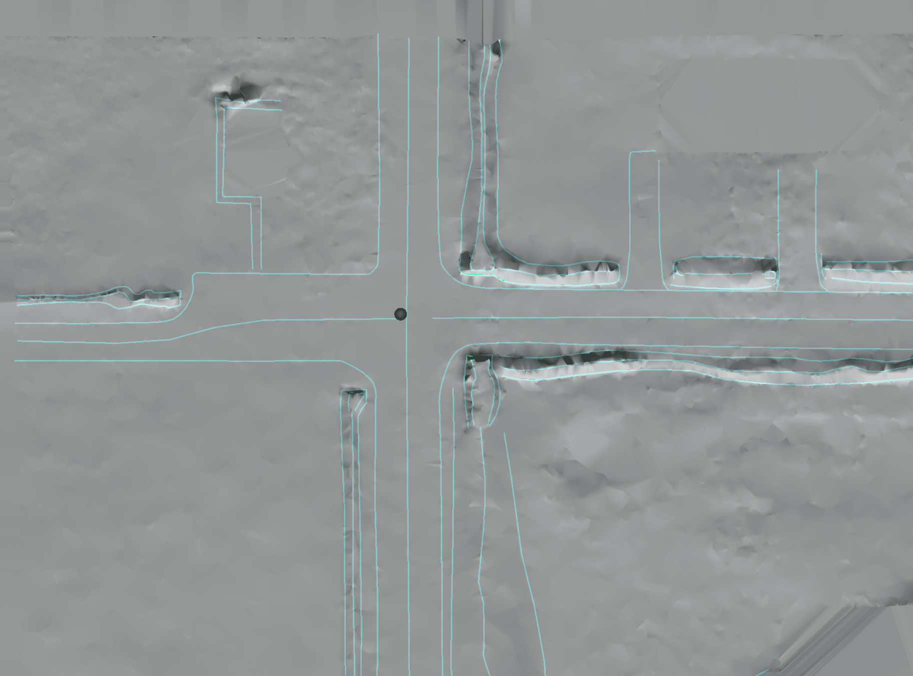
Breaklines

Speed, Versatility, and Risk Reduction: Our Commitment to You

We understand that backlogs can be overwhelming. That’s why Blue Falcon Aerial aims to both reduce turn around time and risk, giving you peace of mind while ensuring your projects remain on track and ahead of schedule. Precise, accurate and efficient data acquisition mitigates the risk of delays, paving the way for successful project outcomes.

Oklahoma

Rooted in Oklahoma, Serving You Nationwide

Proudly headquartered in Oklahoma, we’re committed to supporting small to medium-sized surveying businesses. Our promise? We never charge for mileage. This ensures that our LiDAR services, known for their speed, risk reduction, and versatility, are within your reach, regardless of where your project is located.

Experience the LiDAR Difference

Ready to see the difference LiDAR can make for your smaller projects? We’re eager to demonstrate the impact of our services. Schedule a consultation today, and let’s discuss how our LiDAR solutions can revolutionize your project execution, providing an adaptable, efficient, and risk-reducing solution tailored to your unique needs.

Embrace the future of surveying. Together, let’s eliminate your project backlog, one small project at a time. Welcome to the LiDAR revolution.

Fill out the below form below or call us at 405-237-8233

Disclaimer: Entering your email and submitting, tells us you are interested in receiving information. You may opt out at any time.
Please allow us to know the location of your roof. If we don't know your address, we won't be able to validate your location as a service area.
This will be the main contact to reach out for any follow-up, scheduling, or both.

Blue Falcon Aerial provides aerial data collection and provides data to Rock Robotics for processing, delivery and production of deliverables. Blue Falcon Aerial is not a state-licensed professional engineering, pipeline inspection, or land surveying firm, and neither its employees nor its contractors possess licenses in such fields. All content on this website, including text, graphics, images, and other material is intended for informational purposes only. You should not rely on such content for any specific context or condition, and it is not a substitute for advice or services that should be provided by a licensed professional engineer, licensed land surveyor, or licensed pipeline inspector. Nor does this content constitute an offer to provide such professional services.


Copyright © 2023 Blue Falcon Aerial
Want to Learn More on How we can Help Your Next Project?

Scroll to Top