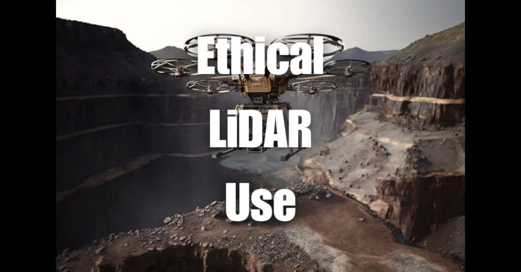
Choosing the perfect drone LiDAR system can be a daunting task, especially with the rapid advancements in technology and the myriad of options available in the market. This comprehensive guide will help you make an informed decision by providing an in-depth understanding of drone LiDAR technology, factors to consider when choosing a system, cost of LiDAR sensors, industry trends, job prospects and earnings for LiDAR drone pilots, popular systems and their applications, and tips for operating and maintaining your chosen drone LiDAR system. Let’s embark on this journey to help you find the ideal LiDAR solution for your specific needs.
Key Takeaways
- Understand LiDAR Technology: LiDAR (Light Detection and Ranging) is essential for creating high-resolution maps and is widely used in various industries.
- Choosing a LiDAR Sensor: Factors like sensor type, point density, and scan rate are crucial in selecting the right LiDAR sensor for your drone.
- Types of LiDAR Drones: Fixed-wing, multirotor, and hybrid drones each serve different applications, from large-scale projects to detailed inspections.
- Mapping Surveying Drones: Consider flight time, payload capacity, stability, GPS accuracy, and ease of use when choosing a drone for mapping and surveying.
- Accuracy and Resolution: High accuracy and resolution are vital for reliable mapping, influenced by sensor range, beam divergence, and drone stability.
- Range and Coverage: Balancing the sensor’s range with desired detail level is important for project efficiency.
- Weight and Payload Capacity: The drone should accommodate the weight of the LiDAR sensor and additional equipment.
- Data Processing and Software Compatibility: Efficient data processing and software compatibility are key for analyzing and visualizing LiDAR data.
- Budget and Cost-Effectiveness: Consider the total cost of ownership, balancing features with budget constraints.
- Industry Trends: LiDAR technology is becoming more accessible and cost-effective, with solid-state and hybrid sensors leading the way.
Understanding Drone LiDAR Technology
What is LiDAR?
LiDAR, which stands for Light Detection and Ranging, is a remote sensing technology that uses laser light to measure distances and create detailed, accurate, and high-resolution maps of the earth’s surface. It is widely used in various industries such as agriculture, forestry, infrastructure, construction, environmental monitoring, and archaeology.
How does drone LiDAR work?
Drone LiDAR systems work by emitting laser pulses towards the ground. As these pulses bounce back after hitting objects or the terrain, the time it takes for the light to travel back to the sensor is recorded. By measuring the time of flight for each pulse, along with the angle and position of the drone at the time of the measurement, the system calculates precise coordinates for each data point, creating a 3D representation of the surveyed area.
Factors to Consider When Choosing a Drone LiDAR System
How do I choose a LiDAR sensor?
When choosing a LiDAR sensor for your drone, it’s essential to consider the following factors:
Sensor type: There are different types of LiDAR sensors, such as mechanical, solid-state, and hybrid sensors. Mechanical sensors use rotating mirrors to steer the laser, whereas solid-state sensors use electronic components for beam steering. Hybrid sensors combine both technologies. Each type has its pros and cons, so it’s crucial to understand your application’s requirements before making a decision.
Point density: Point density refers to the number of data points collected per unit area. A higher point density provides more detailed information, but it may also require more processing power and storage.
Scan rate: The scan rate, measured in Hertz (Hz), indicates how fast the LiDAR sensor can acquire data. A higher scan rate allows for quicker data acquisition, which can be beneficial for time-sensitive projects.
What are the different types of LiDAR drones?
There are various types of LiDAR drones available, with each type designed to cater to specific applications or requirements. The most common types include:
Fixed-wing drones: These drones have longer flight times and can cover larger areas, making them suitable for large-scale projects such as forestry and agriculture.
Multirotor drones: Multirotor drones offer greater maneuverability and can hover in place, making them ideal for detailed inspections and smaller-scale projects.
Hybrid drones: These drones combine the advantages of fixed-wing and multirotor drones, offering both long flight times and high maneuverability.
What are the important factors for choosing a mapping surveying drone?
When selecting a mapping surveying drone, consider the following factors:
Flight time: A longer flight time allows the drone to cover larger areas, reducing the number of flights required to complete a project.
Payload capacity: The drone should be able to carry the LiDAR sensor and any additional equipment, such as cameras or multispectral sensors, without compromising flight performance.
Stability and GPS accuracy: For accurate mapping and surveying, the drone must maintain a stable flight and offer precise GPS positioning.
Ease of use: A user-friendly drone with intuitive controls and software will make the mapping and surveying process more efficient.
Accuracy and Resolution
High accuracy and resolution are crucial for creating detailed and reliable maps. Consider a drone LiDAR system with high-resolution sensors and the ability to deliver precise measurements. The accuracy of a LiDAR system is often determined by the sensor’s range and beam divergence, as well as the drone’s stability and GPS accuracy.
Range and Coverage
The range of a LiDAR sensor affects the maximum distance it can accurately measure. A longer range allows the drone to fly higher and cover larger areas, reducing the number of flights needed to complete a project. However, a longer range may also come at the cost of reduced accuracy and resolution. It’s essential to balance range and coverage with the desired level of detail for your specific application.
Weight and Payload Capacity
The weight of the LiDAR sensor and the drone’s payload capacity are crucial factors to consider. A lighter sensor will enable the drone to fly longer and cover larger areas, while a higher payload capacity allows the drone to carry additional equipment such as cameras or multispectral sensors. Ensure the drone you choose can accommodate the weight of the LiDAR sensor and any other necessary equipment without compromising flight performance.
Data Processing and Software Compatibility
Data processing is a critical aspect of drone LiDAR systems. The ability to process, analyze, and visualize the collected data efficiently is essential for accurate and timely decision-making. Ensure that the drone LiDAR system you choose is compatible with your preferred data processing software or comes with its own user-friendly and feature-rich software suite.
Budget and Cost-Effectiveness
Finally, consider the cost of the drone LiDAR system in relation to its features, capabilities, and potential return on investment. While more expensive systems may offer higher performance and advanced features, it’s essential to ensure that the system you choose meets your specific requirements without exceeding your budget. Also, factor in any additional costs such as software licenses, maintenance, and training when evaluating the total cost of ownership.

Cost of LiDAR Sensors and Industry Trends
How much does a LiDAR sensor cost for a drone?
The cost of a LiDAR sensor for a drone can vary significantly depending on factors such as sensor type, accuracy, range, and manufacturer. Prices can range from a few thousand dollars for entry-level systems to over a hundred thousand dollars for high-end, professional-grade sensors. It’s essential to balance cost with the specific requirements of your project, taking into account the factors mentioned in the previous section.
Is LiDAR becoming cheaper?
As with many technologies, the cost of LiDAR sensors has been decreasing over the years due to advancements in manufacturing, increased competition, and growing demand. The development of solid-state and hybrid sensors has also contributed to the reduction in cost, making LiDAR technology more accessible to a wider range of users and applications. However, it’s important to note that while costs have decreased, the quality and capabilities of LiDAR sensors have continued to improve, providing users with better value for their investment.
LiDAR Drone Pilots: Job Prospects and Earnings
How much do LiDAR drone pilots make?
The earnings of LiDAR drone pilots can vary widely depending on factors such as experience, location, industry, and the complexity of the projects they work on. Entry-level LiDAR drone pilots can expect to earn around $40,000 to $50,000 per year, while experienced pilots with a strong portfolio of successful projects can earn upwards of $100,000 or more annually.
To increase your earning potential as a LiDAR drone pilot, consider investing in specialized training, certifications, and continuous professional development. Building a strong network within the industry and showcasing your skills through a diverse portfolio of projects can also help you secure more lucrative job opportunities.
Popular Drone LiDAR Systems, Providers, and Their Applications
What is the best drone for LiDAR?
There is no one-size-fits-all answer to the question of the best drone for LiDAR, as the ideal choice depends on your specific needs, budget, and application. Some popular drone LiDAR systems and providers in the market include:
DJI Matrice 300 RTK with the Velodyne LiDAR sensor: This combination offers a reliable and versatile platform for various applications, including agriculture, forestry, and infrastructure inspection.
Parrot Anafi USA with the Livox LiDAR sensor: This lightweight and compact system is ideal for small-scale projects and inspections, providing high-resolution data and ease of use.
RockRobotic R3Pro and R2A: RockRobotic offers cutting-edge LiDAR technology with their R3Pro and R2A systems, revolutionizing the drone LiDAR hardware landscape. Learn more about their game-changing technology in these articles:
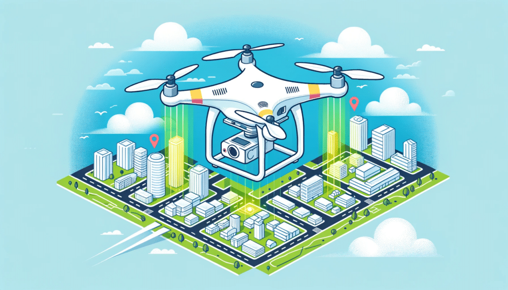
Applications of Drone LiDAR Systems
Drone LiDAR systems have a wide range of applications across various industries:
Agriculture and Forestry: Drone LiDAR can be used for crop health monitoring, precision agriculture, yield estimation, and forest management.
Infrastructure and Construction: LiDAR drones are ideal for inspecting buildings, bridges, roads, and other infrastructure, as well as for monitoring construction progress and generating accurate topographic maps.
Environmental Monitoring: Drone LiDAR can be used to track changes in the environment, assess flood risks, monitor erosion, and study wildlife habitats.
Mining and Geology: LiDAR drones can be utilized for mineral exploration, volumetric calculations, and creating accurate 3D models of mines and geological features.
Archaeology: Drone LiDAR can reveal hidden archaeological sites and provide detailed data for site mapping and analysis.
Urban Planning: LiDAR data can be used to create accurate 3D models of urban areas, helping planners and architects make informed decisions about development and land use.
Emergency Response and Disaster Management: Drone LiDAR can be deployed for rapid assessment of damage after natural disasters, helping to identify areas of concern and prioritize recovery efforts.
Tips for Operating and Maintaining Your Drone LiDAR System
Proper operation and maintenance of your drone LiDAR system are crucial for ensuring accurate data collection, prolonging the lifespan of your equipment, and minimizing potential downtime. Here are some tips to help you get the most out of your drone LiDAR system:
Pre-Flight Preparation
Check for software and firmware updates: Before each flight, make sure your drone, LiDAR sensor, and any associated software are up to date to ensure optimal performance and compatibility.
Inspect your equipment: Conduct a thorough visual inspection of your drone, LiDAR sensor, and any additional payloads to identify any potential issues, such as loose connections, damaged components, or debris.
Plan your flight: Plan your flight path, taking into account factors such as altitude, terrain, and weather conditions. Make sure to set appropriate overlap and point density settings to ensure complete coverage and accurate data collection.
In-Flight Best Practices
Monitor weather conditions: Be aware of changing weather conditions, such as wind, rain, or fog, which may impact your drone’s stability and the quality of your LiDAR data.
Maintain a clear line of sight: Always keep your drone within visual line of sight and comply with local regulations and airspace restrictions.
Monitor battery life: Keep an eye on your drone’s battery life to ensure a safe return to the launch site and avoid potential crashes or data loss.
Post-Flight Procedures
Download and backup data: After each flight, download your LiDAR data and create a backup to ensure data integrity and safe storage.
Clean your equipment: Gently clean your drone, LiDAR sensor, and any additional payloads to remove dust, dirt, or debris that may have accumulated during the flight.
Perform a post-flight inspection: Inspect your equipment for any signs of wear or damage and address any issues before your next flight.
Regular Maintenance and Calibration
Follow manufacturer guidelines: Always follow the manufacturer’s guidelines for maintenance, calibration, and service intervals to keep your drone LiDAR system in optimal condition.
Calibrate your LiDAR sensor: Regularly calibrate your LiDAR sensor to ensure accurate data collection and maintain consistency across multiple flights.
Replace worn or damaged components: Keep an eye on components such as propellers, batteries, and payload connectors, and replace them as needed to maintain optimal performance and safety.
By following these tips for operating and maintaining your drone LiDAR system, you can ensure accurate and reliable data collection while protecting your investment and maximizing the life of your equipment.
In conclusion, choosing the perfect drone LiDAR system involves carefully considering factors such as sensor selection, drone types, mapping surveying drone factors, accuracy, range, weight, data processing, and budget. By understanding the technology and its various applications, you can make an informed decision that meets your specific requirements. To further expand your knowledge on this topic, we encourage you to visit Aerial LiDAR 101: An Introduction to its Applications and Benefits for a more comprehensive understanding of LiDAR technology. Additionally, explore the game-changing technology of RockRobotic by reading this article and this article. If you’re in need of professional drone services, don’t hesitate to contact Blue Falcon Aerial for assistance with all your drone-related needs.